What we now know about the 'dangerous' pre-Christmas winter storm set to hit Ohio
To shovel or not shovel?
That seems to be about the only unknown about a strong winter storm that is set to sweep across northern Ohio Thursday night through Friday with expected lingering effects through Christmas Day.
Just about everyone seems to be in agreement that this weather event will be a major disrupter for holiday travelers.
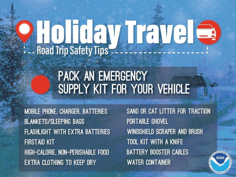
A chorus of folks from the National Weather Service to the Ohio Department of Transportation are still urging residents to prepare and get any holiday errands out of the way before Friday.
Winter storm watch in Akron:Friday will bring rain, snow and low temperatures
With the anticipated high wind gusts, they say it is quite possible there will be widespread power outages in the region and some roads could be tricky to travel on thanks to blowing and drifting snow.
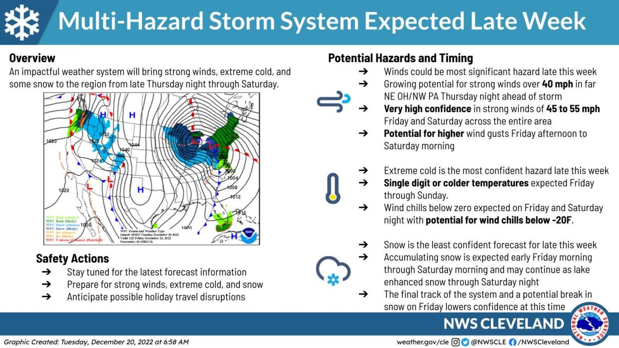
"A multi-hazard storm system will bring strong winds, extreme cold, and some snow to the region from late Thursday night through Saturday," the Cleveland office of the National Weather Service said on Tuesday. "We are most confident in the wind and cold, but the snowfall forecast still remains less certain."
The Ohio Department of Transportation is preparing for the worst.
"Plan now for potentially hazardous travel conditions later this week," spokesman Matt Bruning said Tuesday. "Our crews will be put ahead of, during, and after the storm, but roads will be snow-covered and icy.
"You will have to slow down and travel will take longer."
Here's what we do know so far.
Winter weather preparation:Ohio Turnpike preps fleet for winter, looking for drivers, new plow names
When will the winter storm start in northern Ohio?
Northern Ohio will begin to feel the impact of the storm as early as Thursday morning.
It will start out relatively mild with temperatures in the low 40s.
More on incoming winter storm:'Dangerous' winter storm heading toward Ohio with expected impacts on travel
Rain is expected most of the day on Thursday, but a few snowflakes might mix in with little or no accumulation expected.
Things start to get tricky Thursday night into Friday when the rain transitions to all snow.
What makes this storm different?
The weather service says this is a particularly powerful storm with multiple impacts.
There will be a rapid drop in temperatures creating the potential for "flash freezing" of roadways and sidewalks, making them treacherous.
How to drive in the snow:Driving in northern Ohio this winter? These tips will help you get there safely
This combined with high winds, cold temperatures and likely widespread snow could make travel potentially dangerous throughout the region on Friday.
How windy will it get?
The wind and power outages are among the biggest risks along with likely dangerous wind chills as the temperatures plunge.
Some communities − particularly those closest to Lake Erie − could see wind gusts up to 40 miles per hour as early as Thursday as the heart of the storm approaches.
Rough winter ahead for Akron:Farmers' Almanac predicts plenty of 'snow, rain and mush' for northern Ohio
All of northern Ohio could see wind gusts between 50 and 60 miles per hour Friday through Saturday.
The highest "potential" for damaging wind gusts will be Friday afternoon.
How cold will it get?
Temperatures are expected to drop rapidly Thursday night into Friday as the cold front moves through.
Single digit or colder temperatures are expected Friday through Christmas Day.
White Christmas in Akron?:Chill out. Odds looking good for a 'White Christmas' in northern Ohio
Windchill on Friday and Saturday nights could be between 15 and 25 degrees below zero or colder.
How much snow will fall?
There's still no agreement among weather folks as to just how much snow will fall.
The weather folks say there has to be at least 1 inch of snow on the ground for it to be considered a White Christmas so that is pretty much a lock at this point.
The National Weather Service says there will be widespread snow across all of northern Ohio from this storm.
Winter weather emergency:What are snow emergency levels in Summit County, Ohio and what do they mean?
There is the potential for a slot of drier air to move in Friday afternoon as the cold front pushes out of the region that would reduce the snowfall overall.
But more snow is expected on the backside of the storm Friday night and then there's the potential for Lake Erie-enhanced snow on Saturday for some areas.
Most forecasters from Weather Underground to AccuWeather have stepped back from the more dire previous predictions and now say Greater Akron could see anywhere from 2 to 4 inches of snow from the storm.
Craig Webb can be reached at cwebb@thebeaconjournal.com.
This article originally appeared on Akron Beacon Journal: What know about the 'dangerous' Christmas winter storm set to hit Ohio
