Winter takes aim at Manitoba, NW Ont., with significant snow wallop
True shots of winter weather have certainly been few and far between for much of Canada this year -- really no surprise with an El Niño winter forecast, and warmer temperatures dominating the season.
FORECAST: All of Ontario experiencing an extreme February thaw this week
A real lack of snow has been especially noticeable across parts of Manitoba, including the city of Brandon, which saw December and January running about 75 per cent of normal precipitation and snowfall. So far this February, no precipitation has been recorded for the region, at all. It's a similar story across northwestern Ontario as well, as Kenora sits at 65 per cent of normal precipitation for the winter months to date.
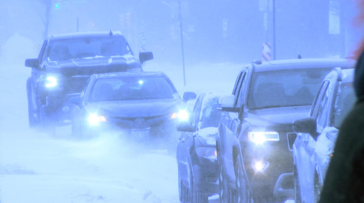
Now, forecasters are watching an incoming system, which could bring some of the biggest snowfall totals of the season so far. While the snow could make for difficult travel conditions and slower commute times, it will surely be welcomed across areas facing a moderate drought situation, and in need of the precipitation.
MUST SEE: What’s the recipe for a severe drought in Western Canada?
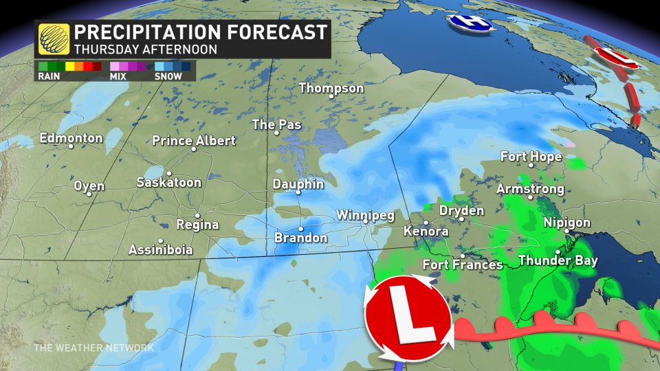
Thursday into Friday
The low will develop in Colorado, made with energy from the atmospheric river that brought flooding and intense winds to coastal California, and then track towards northwestern Ontario on Thursday.
Temperatures won't be exceptionally cold, but they’ll be cold enough to bring snow to Saskatchewan, Manitoba, and northwestern Ontario into Friday. Some milder temperatures could briefly bring rain just past the border and up to the Trans-Canada Highway, and into Thunder Bay even.
PHOTOS: Record-setting snowstorm drops 100+ cm of snow on Nova Scotia
Snow develops for areas along the border as early as Wednesday evening, but could hold off until overnight and continue through Thursday. Then, it will continue for Northwestern Ontario on Friday.
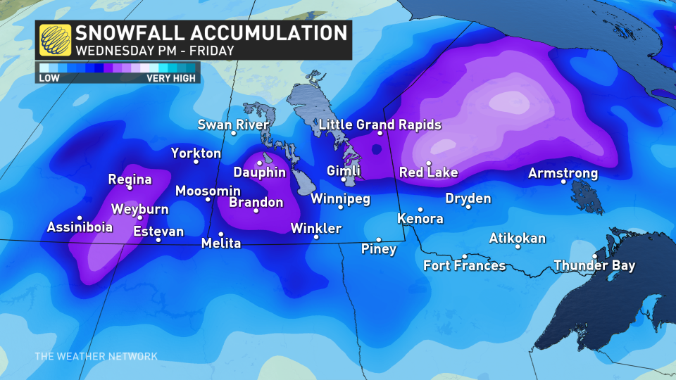
Although it is not a major system, there is still a likelihood of 10-20 cm in the hardest-hit areas. If those totals pan out, there is the potential this system could bring some of the largest, one-day snowfall totals of the season for certain areas.
In Brandon, Manitoba, the last daily snowfall greater than 5 cm was back on January 10, when 7.2 cm fell. Before that, it was December 8, with totals still remaining below 10 cm. The last day of accumulating snowfall for the city was January 22, with just 1.4 cm reported.
It's a similar snow-free situation in Kenora, Ont., as the last daily snowfall of more than 5 cm was on January 11, with 8 cm reported. You'd have to go back to October 27, 2023 to see any sort of significant snowfall in the region, when 16.4 cm fell.
As of now, the heaviest snowfall totals look to be northwest of Kenora and Dryden in extreme northwestern Ontario, with the purple shades below representing pockets of 20 cm of snowfall across Saskatchewan, Manitoba and northwestern Ontario.
Thumbnail courtesy of Chris. D/Submitted.
Be sure to check back for the latest weather updates across the Prairies and northern Ontario.

