Oneida County remains under winter storm warning: How much snow the Mohawk Valley got
Oneida County remains under a winter storm warning, although early snowfall totals are nowhere near as high as originally predicted.
According to the National Weather Service, Oneida County remains under the storm warning until 7 a.m. Saturday morning.
The area can see additional snow accumulations of 1 to 2 inches on the lake plain and 3 to 6 inches in the hills south of Syracuse and along the southern Tug Hill plateau, according to the weather service.
Winter Storm Warnings & Advisories remain in effect for all of Central NY and Northeast PA at this time. Additional snowfall through tonight will be highly elevation dependent. More details: https://t.co/twTOs6uaRT and https://t.co/cCmwCsBKa2 #NYWX #PAWX pic.twitter.com/DFOjEGLQhY
— NWS Binghamton (@NWSBinghamton) December 16, 2022
Storm coverage:Winter storm to hit Mohawk Valley: How much snow is expected
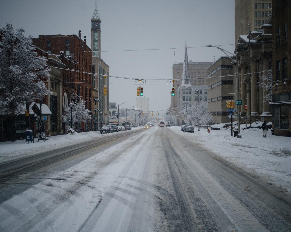
How much snow fell in Utica NY
Though Oneida and Herkimer Counties did receive snowfall overnight into Friday, the accumulation was nowhere near the foot or more originally expected through Saturday.
As of Friday morning, several municipalities across the Mohawk Valley reported less than 2 inches of total snowfall, according to the National Weather Service.
Here are some of the snow totals reported from locations throughout the region:
Whitesboro: 1.7 inches as of 7:45 a.m.
Marcy: 1.5 inches as of 7:35 a.m.
Deerfield: 1 inch as of 8:45 p.m. Thursday
Dolgeville: 1 inch as of 4:30 a.m.
This article originally appeared on Observer-Dispatch: Utica area under winter storm warning: How much snow has fallen so far

