Opinion: The Blue Line restores Irvington to transit-oriented roots
The debate over the Blue Line has put Irvington in the spotlight.
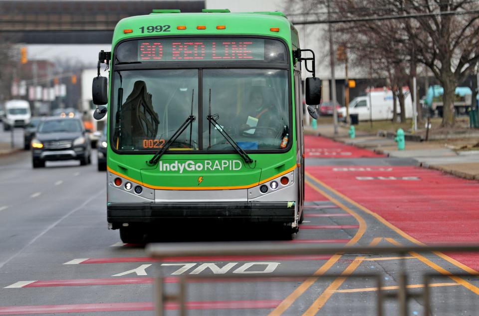
Some business owners are only now discovering the implications of a transit referendum that passed in 2016 with 59% of the vote. The referendum allocated funds for a bus rapid transit project, including the east-west Blue Line on Washington Street, connecting Irvington with downtown and promising substantial infrastructure improvements and job opportunities.
But it also comes with a projected two-year construction timeline, which has sparked concerns and opposition among some Irvington business owners (though many have changed their minds in recent days).
One of the more egregious arguments I’ve seen is that Irvington was built around the car. That is just not true. The historic, spooky, idyllic Irvington we love today, including many of the buildings that house businesses fighting the Blue Line, exists because of transit, not in spite of it.
The Blue Line is just another chapter in Irvington’s transit-rich history.
For some context, in the late 19th century, as railroad suburbs began to emerge, they presented a paradigm shift in urban planning. Riverside, Illinois, designed by Frederick Law Olmsted and Calvert Vaux, embodied this shift with a central business district strategically oriented around commuter rail lines.
The commercial development of these places, exemplified by communities like Riverside and, later, Irvington, was tied to transit. These suburbs, borne of a desire for an alternative to smoggy urban living, leveraged railroad access as a catalyst for economic prosperity and community growth.
Drawing inspiration from railroad suburbs, Irvington's founders recognized the importance of transit in fostering economic activity. The original plan aimed to mirror Glendale, Ohio, a railroad suburb 12 miles north of Cincinnati. Glendale stands out as one of the earliest instances of a planned residential village subdivision, incorporating urban design principles of cemeteries.
IndyGo's Blue Line: Project is up for discussion once again. Here's what people are saying.
Unlike the orthogonal street grids common in Jeffersonian platting and colonial planning, Glendale's layout features curvilinear street grids. This was a time before public park systems, so cemeteries inspired peaceful suburbs because they were used as the first “parks.”
This departure from the norm shifted planning grids to a more idyllic, pastoral vision with residential neighborhoods offering respite from factory uses.
This is where Irvington differs from these other early suburbs. Railroad suburbs often banned commercial businesses near residential neighborhoods. That was not the case in Irvington.
Much of the original platting of Irvington exists today, with pockets of business districts or “nodes” around Bonna Avenue and Washington Street that are close to transit, churches, and residential pockets away from industrial uses. These commercial nodes serviced the Pennsylvania Railroad, which cut through the neighborhood on what is now the Pennsy Trail.
The early structures, a Pennsylvania Railroad depot and a hotel, set the stage for a bustling business district near Audubon Road and Washington Street. A mix of uses alongside businesses made Irvington a destination. And it needed the transit to support it.
By 1872, a Pennsylvania Railroad depot and horse-drawn coaches facilitated limited commuter service just south of the growing business district on Washington Street, according to Encyclopedia of Indianapolis. In the mid-1870s, the Irvington and Stratford Railroad, a mule-powered trolley line, improved connectivity. Later integrated into the Citizens Street Railway, it paved the way for electric trolley service in 1892, making commuting easier for middle-class residents.
Interurban streetcars along Washington Street expanded rail options in 1900. The Irvington business district grew rapidly, evolving around transit and later adapting to cars.
The post-war period brought an emphasis on cars as Indianapolis dismantled its interurban streetcar system. Once the interstate systems were built, the National Road was deprioritized as a travel route. Without streetcars, Washington Street had seen its best days.
The empty gas stations, strip malls, and motels east of the Irvington Historic District are vestiges of this downturn, offering a jarring comparison to the walkable core of the neighborhood. The difference is, yes, these parts of Irvington were built for the car.
The interdependence between transit and commercial development in early suburbs, such as Irvington, remains a relevant and enduring lesson for modern urban planning. Irvington's success was not solely based on picturesque landscapes or architectural aesthetics; it was rooted in the strategic integration of transit.
As we contemplate the role of the Blue Line, we are echoing the historical legacy set by these early railroad suburbs — a legacy that recognizes accessibility as the backbone of economic vitality and community resilience.
Irvington is a testament to the enduring impact of access on shaping the commercial heart of our neighborhoods. Transit brings accessibility, and accessibility brings opportunity.
The Blue Line does not take away the ability to access Irvington by car but, rather, empowers other ways to get there as well — like people used to when Irvington was founded.
Now that I think about it, improving transit via the Blue Line BRT may be the most Irvington thing ever.
Jeffery Tompkins, AICP, is a city planner and a resident of the Near Eastside of Indianapolis.
This article originally appeared on Indianapolis Star: Blue Line restores Irvington to transit-oriented roots

