Oregon again delays release of controversial wildfire risk map as Legislature considers issue
Oregon will delay release of a controversial wildfire risk map for the second time as the state Legislature takes up the issue.
A number of bills have been introduced this session that could impact how the map, meant to classify wildfire danger statewide, comes together, leading the Oregon Department of Forestry to postpone release.
“We want to avoid expending resources on work that may not align with new direction that may come from the Legislature this session,” said Cal Mukumoto, director of the Oregon Department of Forestry.
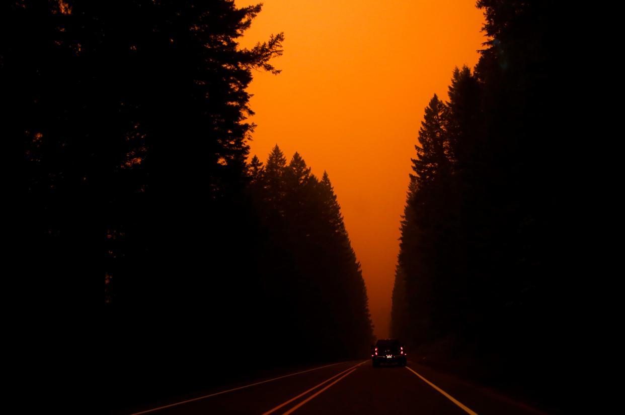
The original map was released last June after passage of Senate Bill 762, which came in the wake of the 2020 Labor Day fires that burned over 1 million acres and destroyed regions of the state seemingly unprepared for the scale of the calamity.
The map was meant to detail which regions of the state — and homes — were at highest risk of wildfires. It could have required homeowners in extreme risk areas use to use fire-resistant materials during new home construction or make major upgrades, and create defensible space around buildings.
The map sparked outrage in areas classified as being at high or extreme risk almost immediately among those worried it would raise housing costs or insurance, or just be a major hassle impacting those who live primarily in rural areas.
In response, ODF pulled the map just a month later.
A range of recommendations have been introduced this session, along with bills that would tweak or wholesale abolish the map entirely.
Given the uncertainty, Mukumoto said it wasn’t clear when a new map may be released.
“The success of this whole program depends on strong collaboration between state government, local leaders and property owners in wildfire-prone areas. Building that partnership has to be job number one over the coming months,” said Sen. Jeff Golden, D-Ashland, who chairs the Senate Committee on Natural Resources and was the chief sponsor of SB 762. “When we feel like we’re pulling in the same direction, we’ll be ready for a much better conversation about the map.”
Zach Urness has been an outdoors reporter in Oregon for 15 years and is host of the Explore Oregon Podcast. To support his work, subscribe to the Statesman Journal. Urness is the author of “Best Hikes with Kids: Oregon” and “Hiking Southern Oregon.” He can be reached at zurness@StatesmanJournal.com or 503-399-6801. Find him on Twitter at @ZachsORoutdoors.
This article originally appeared on Salem Statesman Journal: Oregon delays release of wildfire danger map for second time

