Oregon wildfire forecaster ‘optimistic’ due to amount of rain with thunderstorms
Oregon’s fire season sprang to life over the past week, fueled by 5,800 lightning strikes in the southern, central and eastern parts of the state that ignited a handful of wildfires.
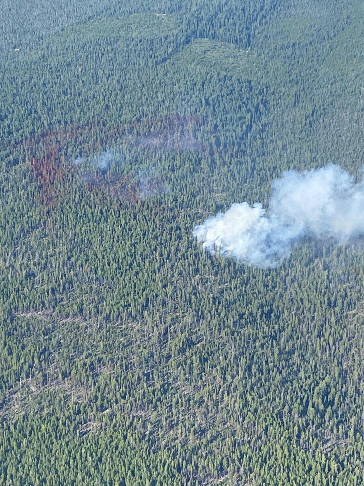
Firefighters have been busy responding to multiple blazes, while smoke has impacted air quality and fires closed places such as the Waldo Lake Wilderness.
But veteran wildfire meteorologist John Saltenberger said he sees reason for optimism in the recent and upcoming wildfire forecast, he told the Statesman Journal on Thursday.
The reason is that despite the massive influx of lightning, many of the strikes came with a decent amount of rain and that trend is expected to continue, he said, despite initial fears of a major blowup.
Conditions are hot and dry into this weekend, and fire danger has reached high to extreme levels in many places, but that precipitation has prevented any of the Oregon fires from going on extreme runs.
Even the McKinny Fire on the border of Oregon and California, which has killed four and wasn’t ignited by lightning, has stayed under 60,000 acres so far due in part to precipitation that’s kept it from morphing into a megafire similar to last year’s 413,717-acre Bootleg Fire.
Overall, Oregon has five significant fires currently. The largest is the Miller Road Fire in Eastern Oregon, burning mostly in grassland, along with the Beech Creek Fire near John Day at 260 acres. Meanwhile, the fires in Western Oregon include Potter, Windigo and Cedar Creek. All are smaller than 2,000 acres. The Cedar Creek Fire is the one with the greatest concern, as it grew to 1,200 acres and is threatening Waldo Lake.
More:Oregon wildfires: Cedar Creek Fire grows to 1,200 acres, shuts down Waldo Lake Wilderness
Those are the fires most likely to keep fire crews' attention in the near term.
“At this point, that round of thunderstorms is mostly over and we’re heading into a lull period for new fires,” Saltenberger said. “We can expect things to be active with some wind today (Thursday) before the winds falls off and the temperatures heat up. The drier weather lasts for a while before another round of thunderstorms arrives.”
The thunderstorms have been caused by an extremely active monsoon season in the southwest United States that is funneling moisture up into Oregon. In a worst-case situation, those thunderstorms come with little rain, as occurred in 2018 when lightning sparked over 150 wildfires in southern Oregon.
But this year, the thunderstorms have come with a lot of rain, and that’s projected to continue.
“The forecast models we rely upon say a lot of moisture is coming with the next round of thunderstorms, which could be here as early as next Tuesday and Wednesday,” he said. “So while there will be lightning, the wetness should really tamp it down and can help with the other fires. It can bring declines in fire danger.”
When asked if he was optimistic about the wildfire danger over the next few weeks, Saltenberger said:
“I think that’s accurate. We’ve had some fires and been busy dealing with them so far, but we have not suffered catastrophic fires yet and the outlook isn’t too bad.”
Zach Urness has been an outdoors reporter in Oregon for 15 years and is host of the Explore Oregon Podcast. To support his work, subscribe to the Statesman Journal. Urness is the author of “Best Hikes with Kids: Oregon” and “Hiking Southern Oregon.” He can be reached at zurness@StatesmanJournal.com or (503) 399-6801. Find him on Twitter at @ZachsORoutdoors.
This article originally appeared on Salem Statesman Journal: Oregon wildfire forecaster ‘optimistic’ due to rainy thunderstorms

