Oregon wildfire updates: Flat Fire grows to 8,204 acres, red flag issued for valley
Updated at 11:11 a.m. on Tuesday, July 18
Oregon's wildfire activity has kicked into high gear over the past week. Here's the latest updates in the Willamette Valley and across the state.
Red Flag warning issued for Willamette Valley
A red flag warning has been issued for the Willamette Valley from 2 to 8 p.m. today due to hot temperatures, high winds and low humidity.
"Conditions may be favorable for rapid fire spread which may threaten life and property," the warning said. "Use extra caution with potential ignition sources, especially in grassy areas. Outdoor burning is not recommended."
Wind speeds are expected at 10 to 15 mph, with gusts up to 25 mph, while humidity will be as low as 19%.
Forest Service seeking help in determining cause of Boulder Fire
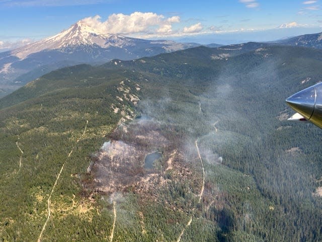
Fire officials are asking for help in determining how the 233-acre Boulder Fire ignited in the Mount Hood National Forest. The fire is southeast of Mount Hood and 26 miles southwest of Dufur. It's 58% contained and hasn't grown in days.
Since its ignition near Boulder Lake Trailhead, accessed via Forest Road 4880 off Forest Road 48, more than 395 firefighters have supported suppression efforts on the fire, which burned around Little Boulder Lake and is near Boulder Lake itself. Both are popular recreation destinations.
"The Forest Service asks that the public recall any information, photography, or videos they may have from their visit to the area where the fire began on July 8. Any information can assist investigators in determining the cause of the fire. Please submit any information that could assist fire investigation efforts to SM.FS.R6TipHotLine@usda.gov."
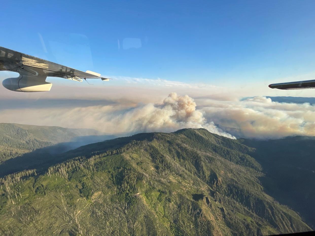
Flat Fire reaches 8,204 acres, closure issued
The Flat Fire continued to grow and reached 8,204 acres by Tuesday morning, up from 5,500 acres on Monday, according to fire teams.
The fire is burning in the Oak Flat and Agness area of southwest Oregon's Rogue River-Siskiyou National Forest, near the confluence of the Illinois and Rogue rivers, about an hour east of Gold Beach.
The fire is expected to remain active Tuesday, creating heavy smoke in nearby communities, fire teams said Tuesday. An air quality alert has been issued for southern Curry County and parts of western Josephine County.
Crews focused on structure protection in the communities of Oak Flat and Agness — approximately 42 structures —are threatened, an evening report said.
A public lands closure was issued for the area Monday night that includes the Illinois River and its trail, along with the northern half of the Kalmiopsis Wilderness. The Rogue River remains open and accessible.
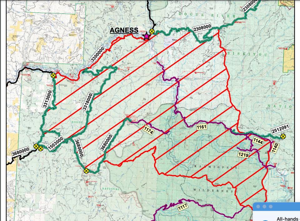
The fire is fully established on both sides of the Illinois River and burning in the 2002 Biscuit and 2018 Klondike fire scars.
"Firefighters are working around standing dead trees and thick vegetation within these burn scars," a Tuesday report said. "The landscape is characterized by steep terrain and limited access points. Fire managers are being deliberate on firefighting tactics to keep firefighters safe, protect surrounding communities, and infrastructure."
The fire appeared most active in the Lawson Creek drainage to the southwest but appears to be burning toward a ridge just above the lower Rogue River.
A total of 378 firefighters and personnel on 10 crews, 19 engines and seven helicopters are working the fire, with more expected to arrive in coming days.
"More resources have arrived and will do so over the next several days," the Tuesday report said. "Firefighters arecontinuing to strengthen and create new firelines. Firefighters are gaining reconnaissance looking foropportunities to use existing barriers (roads, bodies of water) to safely engage the fire. Fire managers will beusing aviation resources as conditions and visibility allow."
The fire ignited at Oak Flat Campground near the mouth of the Illinois River. On Saturday afternoon, the fire grew rapidly, putting up a smoke column visible from Gold Beach to Grants Pass. The fire was spotting — or sending embers that ignited new fires — a quarter mile ahead of the blaze.
Rumors have swirled locally about the cause of the fire, but nothing has been confirmed by officials so far and it remains listed as "under investigation."
Explore Oregon Podcast: Wildfire season looking increasingly dire this year
The fire is burning in steep and remote terrain in an area with a history of producing megafires — the Biscuit (2002), Cheto Bar (2017) and Klondike fires (2018) all grew to well over 100,000 acres in the area.
Previously, fire officials said they would "continue to work to keep the fire as small as possible," a news release said. However, "weather conditions and terrain are not favorable and rapid growth is expected over the next few days."
Birch Creek Fire listed at 690 acres in far Eastern Oregon
The fast-moving Birth Creek Fire, located northeast of Ontario, was listed at 690 acres this morning. It has destroyed one structure. The fire is burning mostly grassland. Crews said the blaze didn’t grow much overnight.
224 Fire near Estacada brings evacuation warnings
The 224 Fire near Estacada was mapped at 38 acres and containment has increased to 35%. More details will be issued in the early afternoon Tuesday after "firefighters can formally assess the fire in the daylight," the Oregon Department of Forestry said.
Clackamas River RV Park, Promontory Park Campground, SE Michaels Road, SE Fall Creek Road south of Divers Road and Tumala Mountain Road between the addresses of 40820-48176 are all on level 1 evacuation warnings, which means be "be ready" to go.
Multiple fire crews are attacking the blaze, which is burning on on Weyerhauser-owned timberland.
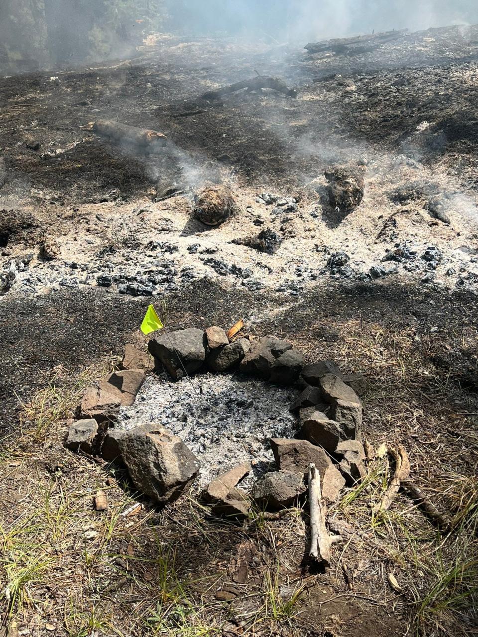
Firefighters stop small wildfire ignited by campfire
Firefighters stopped a small wildfire Sunday in Ochoco National Forest outside Prineville that was ignited from an escaped campfire.
Firefighters kept the blaze to two-tenths of an acre. The cause was determined to be an escaped campfire located along Forest Service Road 42 roughly one mile northwest of Lookout Mountain Trailhead.
"If you’re recreating somewhere campfires are stilled allowed, make sure your fire is DEAD out, meaning cold to the touch, before you head out," Central Oregon Fire Information wrote.
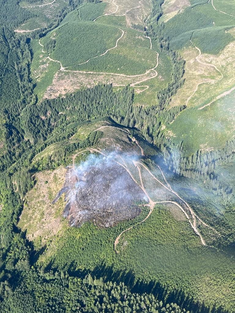
Boulder Fire containment increases to 58%
The Boulder Fire hasn't grown in a number of days and containment was increased to 58% by Tuesday. The fire is southeast of Government Camp in Mount Hood National Forest. The fire still is 233 acres.
"Work continues as firefighters further strengthen containment lines all around the fire. Crews are pushing toward the fire’s center, creating cool and fuels-free ground 100 feet inside the perimeter," a fire report on Monday said.
Zach Urness has been an outdoors reporter in Oregon for 15 years and is host of the Explore Oregon Podcast. To support his work, subscribe to the Statesman Journal. Urness is the author of “Best Hikes with Kids: Oregon” and “Hiking Southern Oregon.” He can be reached at zurness@StatesmanJournal.com or (503) 399-6801. Find him on Twitter at @ZachsORoutdoors.
This article originally appeared on Salem Statesman Journal: Flat Fire grows to 8,204 acres, red flag issued for Willamette Valley

