Ottawa breaks record with warm December weather Monday
Monday is already the warmest Dec. 18 in Ottawa in more than 100 years of Environment Canada records.
Environment Canada said the temperature reached 7 C at Ottawa's international airport once Sunday turned into Monday, which is the highest it's been on Dec. 18 since 1895 and 1921, which each saw a record high of 5.6 C.
Ottawa's average high for Dec. 18 is –4 C.
It's also the warmest Dec. 18 on record in Napanee, Stirling, Cornwall, Pembroke, Gatineau, Chelsea and Val-des-Monts. The forecasted high is nearing a record in Maniwaki.
Ottawa's winter weather season is expected to be shorter, with less snow and a heightened risk of extreme weather caused by human activity leading to climate change, according to reports commissioned by the City of Ottawa and the National Capital Commission.
Last winter, Ottawa had unusually warm weather throughout January and February, upending key activities such as Winterlude and skating on the Rideau Canal Skateway.
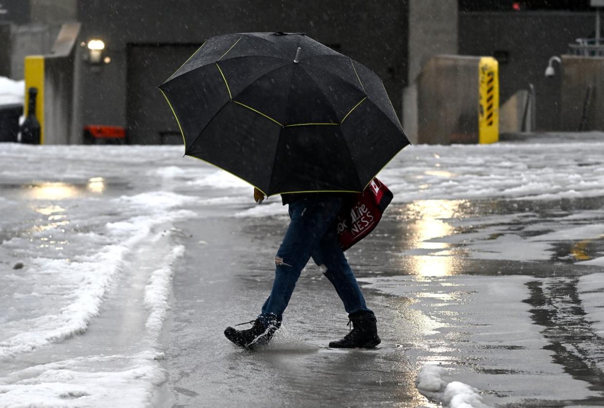
Ten to 20 millimetres of rain are forecasted for Monday, according to Environment Canada.
There's a special weather statement about rainfall along the St. Lawrence River in eastern Ontario, but local conservation authorities have not issued any flooding advisories.
Environment Canada also has a winter weather travel advisory west of Ottawa as rain changes to blowing snow.
The forecast calls for periods of snow in Ottawa beginning late this evening.

