Oxnard records 6-plus inches of rain this week. Here's how much fell in your city

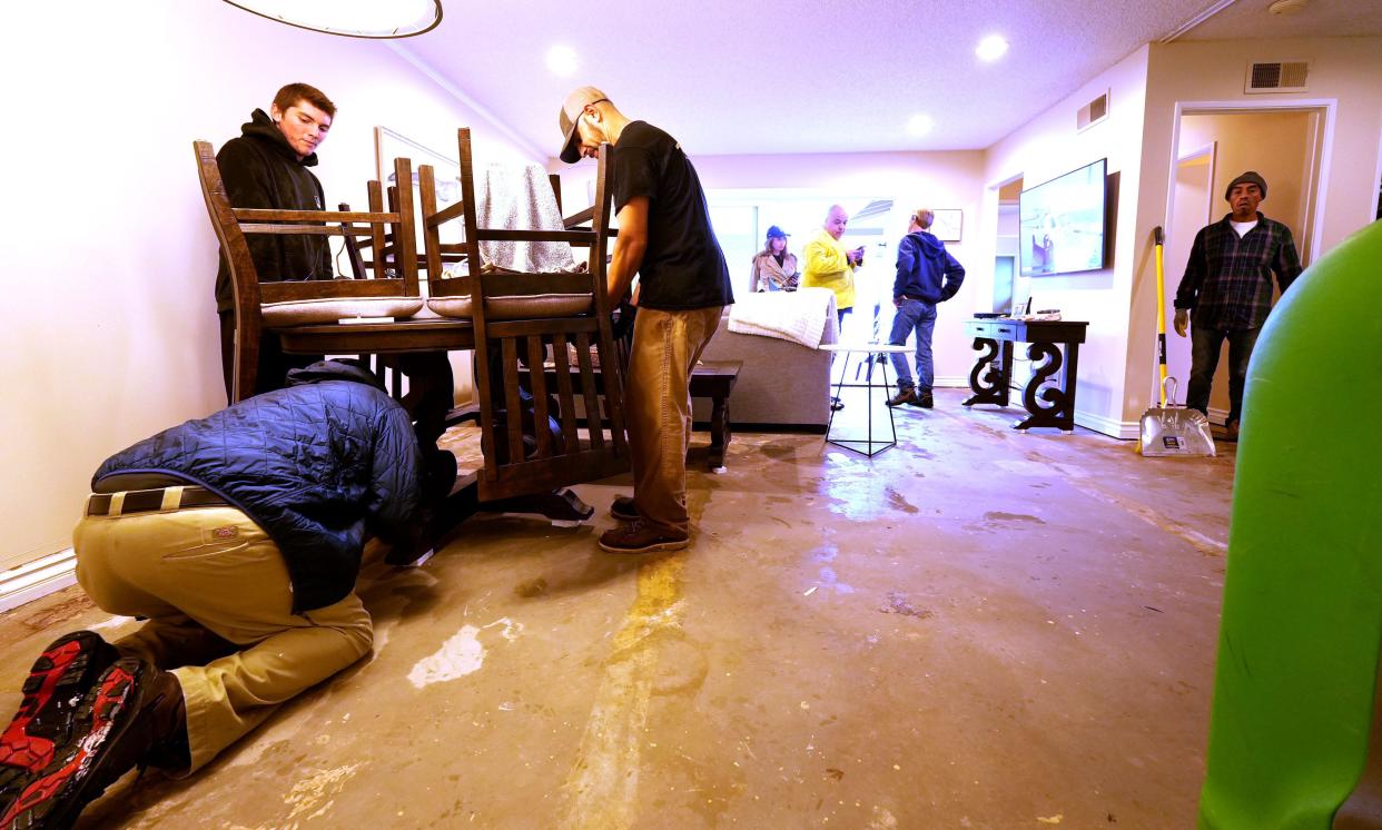
The biggest storm of the season drenched Ventura County this week, flooding homes, closing roads and damaging dozens of properties.
The heaviest downpour pummeled the Oxnard Plain and Port Hueneme areas early Thursday morning. As much as 3.18 inches of rainfall was recorded in an hour in the Oxnard area, according to the National Weather Service. The torrential rain was rare, if not record breaking.
"In 100 years of recorded history, we have never had that happen in that area," said Mike Wofford, a meteorologist with the National Weather Service in Oxnard.
The storm was the second of the week. Rainfall totals for the past five days ranged from just under 2 inches recorded in Camarillo to nearly 8 1/2 inches at Matilija Canyon in the mountains above Ojai. That is according to preliminary figures from the Ventura County Watershed Protection District as of Friday morning.
In hard-hit Oxnard and Port Hueneme, totals far exceeded what the cities would normally get in a month. Oxnard recorded over 6 inches and neighboring Port Hueneme received nearly 5 1/2 inches of rain this week.
Most other cities — Moorpark, Santa Paula, Simi Valley and Thousand Oaks — recorded around 3 inches of rainfall over the past several days. Ojai and Ventura received nearly 5 inches.
After a dry start to the water year, local areas now stand at 70% to 180% of normal at this point in the water year, which runs from October through September.
Any showers were expected to taper off by late Friday afternoon. Over the holiday weekend, the forecast calls for dry and mostly sunny days.
"We're not expecting any significant weather this weekend and early next week," Wofford said.
A chance of rain is expected late next week, he said. But it is too soon to say whether the storms will reach the county or how much rain to expect.
Officials are continuing to assess damage from this week's storm. Preliminary reports showed 100-plus properties had damage, including more than two dozen homes or other buildings with at least 18 inches of flooding.
Much of the damage was reported in Port Hueneme, including at the Hueneme Bay senior community where dozens of homes were evacuated early Thursday.
After a string of dry years, the county got drenched during a wet 2022-23 — one of the rainiest seasons in years. Some local spots reached double that of a normal water year.
What happens this winter remains to be seen. But an El Niño pattern showed up this summer, and the warmer waters near the equator can mean a wetter winter for Southern California.
It is too early to know how El Niño will affect the county this winter, said Scott Holder, a hydrologist with the county's Watershed Protection District. But the unusually warm ocean temperatures definitely contributed to this week's storm, he said.
Authorities are collecting reports about storm damage — information that may help efforts to seek federal disaster relief funds. Residents can report damage online at vcemergency.com.
Cheri Carlson covers the environment and county government for the Ventura County Star. Reach her at cheri.carlson@vcstar.com or 805-437-0260.
This article originally appeared on Ventura County Star: California storm: How much rain fell in Ventura County this week

