Pennsylvania snowfall totals: How much fell in your area?
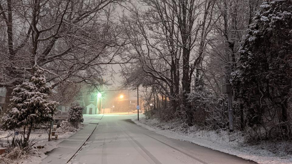
Snow continued to fall Friday morning as a quick-moving storm rolled across Pennsylvania, canceling in-person school and making the roads treacherous. Authorities warned that quickly falling snow and high winds could make travel conditions dangerous, and advised motorists to delay travel plans if possible.
The National Weather Service said snow could fall as quickly as 1 to 2 inches per hour, and expected varying totals across the state.
The heaviest snowfall was predicted in the northwest corner of the state, with Erie seeing up to 10 inches from lake effect snow, and similar amounts possible in southwest Pennsylvania.
AccuWeather senior meteorologist Joe Lundberg said a storm targeting much of the East should develop into the first bomb cyclone of 2022. A bomb cyclone is defined as a storm whose central pressure plummets 24 millibars in 24 hours.
Interactive snow map: See snowfall totals from around the state
Check back here for updated snowfall totals throughout the day.
Erie PA weather

Reports said 5 inches of snow had fallen in Erie as of 8 a.m. Friday. Six inches of snow were reported by a trained spotter in North East as of 7 a.m., according to NWS.
The area was placed under a lake effect snow warning overnight, with 10 inches possible by the time the storm clears. The snowfall could continue until 7 a.m. Saturday.
The heaviest snow was expected Friday morning, with bands of heavier snow persisting throughout the day.
Erie weather: Lake Effect snow falling Friday. Here's the forecast
Webcam tour: See what the weather is like around Erie County and nearby
Central PA snowfall
Central PA saw as much as 7 inches in places, according to NWS.
In York County, Newberry reported 7 inches as of 5:30 a.m., Loganville reported 6.3 inches by 8:30 a.m., and Penn Township saw 6 inches.
In Adams County, Franklin Township reported 6.5 inches early this morning, with 6 inches in Gettysburg.
Lebanon was up to 5.5 inches at 8:30 a.m. Waynesboro reported 6.3 inches at 9 a.m.
Live updates: Snow makes for messy morning commute in central Pa.
Photos: First measurable snow of 2022 hits central Pa.
❄️Here are some of the highest snowfall reports from overnight.
🗺️You can view an interactive map of snowfall reports here: https://t.co/K76qHocji1#PAwx https://t.co/HNOP46FuSs pic.twitter.com/wEhDNzDphG— NWS State College (@NWSStateCollege) January 7, 2022
Somerset County snow
Some weather maps were calling for nearly a foot of snow overnight Thursday into Friday. AccuWeather maps showed southern parts of Somerset County getting between 6 to 12 inches.
Jefferson Township reported 7 inches of snow at 5 a.m. and Laurel Summit saw 5.5 inches at 7 a.m.
Schools delayed: Snow storm hits Somerset County
Bucks County & Poconos weather

About 2 to 4 inches was expected in the southeastern corner of the state.
NWS Mount Holly reported the storm was moving across the I-95 corridor with snow falling at a rate of 1 to 2 inches per hour. Snowfall was expected start to slow about 8 a.m.
In Bucks County, snow fall totals ranged from 5 inches in Warwick to 3.5 inches in Bensalem with 4 inches reported in Buckingham, Hilltown and Lower Makefield.
In Mount Pocono, 2.6 inches of snow was reported. Tobyhanna saw 2.9 inches of snow.
Bucks County snow: Region awakens to 1st snowfall of the season
Photos: First winter storm of the season in Bucks
Poconos: PennDOT lifting speed restrictions on highways
Snow in Beaver and Lawrence counties
The NWS office in Pittsburgh reported 1.5 inches of snow had fallen at their office as of midnight at the beginning of the storm, with additional accumulation expected overnight.
Aliquippa saw as much as 1.5 inches of snow as of 9:50 a.m. New Castle reported 1.2 inches at 6:40 a.m.
The office also warned of extreme wind chills, with temperatures feeling like their in the double digits.
This article originally appeared on Erie Times-News: PA snow totals: How much snow fell in your part of the state

