Peru rocked by powerful 7.2 earthquake
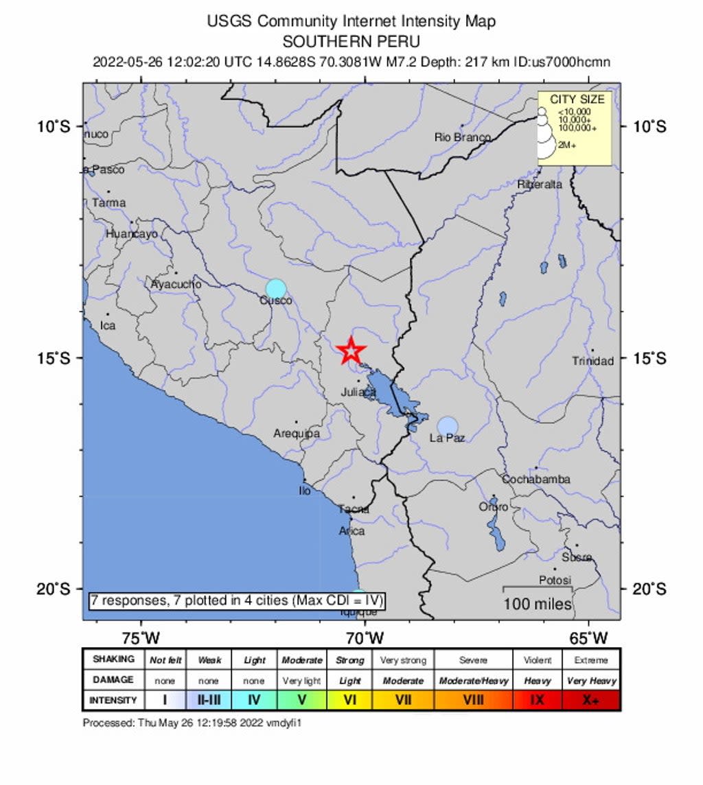
A powerful 7.2 magnitude earthquake has rattled southern Peru, according to the US Geological Survey. There were no immediate reports of injuries or damage from the quake.
No tsunami warning was issued.
The quake struck in the southern portion of the country, in the Andes mountains north of Lake Titicaca. USGS noted that it occured around 220 kilometres below ground – a depth which usually causes less damage than shallower earthquakes, they add.
Buildings were reportedly swaying in the nearby cities of Arequipa and Cusco, as well as La Paz, the capital of Bolivia, AP reports.
The quake began around 7:02 local time.
Earthquakes are common in Peru, as the country sits along a the collision zone between the South American and Nazca tectonic plates.
Plate movement causes much of the Pacific coastline – from the Americas and through to Asia – to have frequent geological activity including earthquakes and volcanoes. Plate movement helped form this part of the Andes mountains, including a number of volcanoes in southern Peru.
This is a breaking story, more to follow

