Phoenix redraws council district map, changing representation for 1.6 million locals
- Oops!Something went wrong.Please try again later.
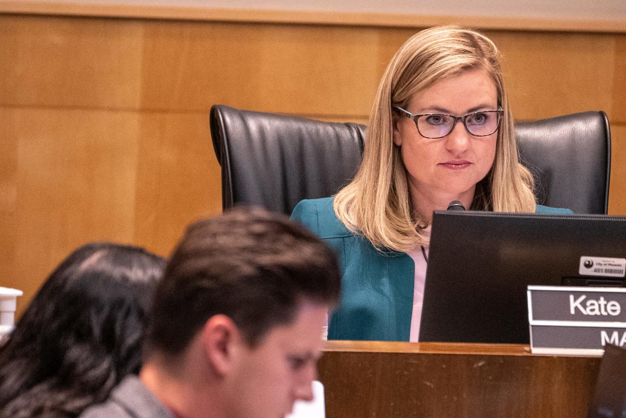
The Phoenix City Council unanimously approved new district maps Tuesday, a vote that affects how and by whom 1.6 million residents are represented for the next decade.
The city population ballooned by some 160,000 residents between 2010 and 2020. While the city's eight districts previously were split at about 180,000 residents apiece, federal guidelines set the new standards at about 200,000 residents each, based on the 2020 population.
Redistricting occurs every decade after the U.S. Census count and is intended to ensure fair and equal representation among all levels of elected government. The main two requirements, per federal law, is that the districts are approximately equal in terms of population and that minority voting power not be diluted. ma
Since population growth was felt unevenly across the city the past decade, redistricting meant some districts needed to add population and others needed to subtract.
Some of the districts experienced significant changes in terms of population. District 7 in southwest Phoenix had to cut about 17,000 residents and District 3 in the Moon Valley area had to add about 12,000.
But the political map did not change significantly, and the City Council passed it at a policy session meeting Tuesday with little opposition or live public comment.
Click here to see a large image of the newly adopted map.
Click here to see the current/ soon-to-be-former district map.
The city's eight districts were and still remain equally split with four majority Hispanic districts (Districts 4, 5, 7 and 8) and four majority non-Hispanic white districts (Districts 1, 2, 3 and 6).
What were the changes?
District 7 in the southwest Laveen area, represented by Vice Mayor Yassamin Ansari, saw the most population growth, so it lost the most area under the newly adopted map.
District 2 under Jim Waring in northeast Phoenix, District 5 under Betty Guardado in the Maryvale area, and District 8 under Kesha Hodge Washington in the south Phoenix area also saw significant growth, so shrank in size.
District 1 under Councilwoman Ann O'Brien, meanwhile, was the ideal population size. It didn't change.
District 3 under Debra Stark in the Moon Valley area, District 4 under Laura Pastor in the midtown and uptown areas and District 6 under Kevin Robinson in the Arcadia and Ahwatukee Foothills areas gained voters under the new maps since they did not experience as significant population growth the past decade.
What notably did not change is the barbell shape of District 6, a topic of concern for myriad residents who weighed in via public comment in previous town hall presentations. The former and newly adopted map for District 6 attaches Arcadia and Ahwatukee, two distinctly separate communities, via public rights of way trailing along 48th Street.
Some residents expressed support for Laveen and Ahwatukee to join districts, given their connection via the Loop 202 South Mountain Freeway, but the prospect was not discussed Tuesday. Both Districts 7 and 8 in south Phoenix already needed to lose population in the new map, so the idea to add Ahwatukee likely would have complicated the process.
The details: What areas changed districts?
A stipulation of redistricting is that cities must try as much as possible to keep voting precincts together. Voting precincts are the geographic areas used to report election results. There are several dozen in each district.
Click here to view a map of the precincts in Maricopa County.
The council's approval Tuesday meant changes for 20 precincts, as follows:
Areas between the Loop 101 to Bell Road, 15th Avenue to Cave Creek Road vicinity shift to District 3:
The Wikieup, Bluefield and Grovers precincts are all shifting to District 3 under Councilwoman Stark. Previously Wikieup was represented by Waring, and then Waring and Stark split Bluefield and Grovers.
The Wikieup Precinct is almost triangle-shaped; it has Loop 101 on the north and Union Hills Drive on the south. It extends horizontally from the intersection at Cave Creek Road and the Loop 101 in the northeast to essentially Seventh Avenue and Union Hills Drive in the southwest.
Bluefield is a box-shaped precinct, but it was previously split in half so that residents who live in an area bounded by Loop 101 and Union Hills Drive, and 15th Avenue and Seventh Avenue, were in District 2 under Waring. Now, they will be in District 3, represented by Stark.
Grovers, like Bluefield, is a box-shaped precinct that was also previously split in half. Residents who live between Seventh and 15th Avenues with Union Hills Drive to the north and Bell Road to the south shift from Waring in District 2 to Stark in District 3 under the new map.
Did your district change? Meet your new Phoenix City Councilmember: What to know
Area near Thunderbird Road and Tatum Boulevard shifts entirely to District 2:
A rectangular shaped part of the Hillery Precinct between Thunderbird Road to the north and Sweetwater Avenue to the south, Tatum Boulevard to the west and 56th Street to the east is shifting from Stark's District 3 to Waring's District 2.
Dunlap Avenue and I-17 / 19th Avenue area:
The rectangular Townley Precinct from Dunlap Avenue in the north to Butler Drive in the south, I-17 in the west to 19th Avenue in the east will shift from District 5 under Guardado to District 3 under Stark. Several Royal Palm neighborhood residents expressed support for this shift in previous town halls.
A section of the Sunny High Precinct from Dunlap Avenue in the north to Northern Avenue in the south, between 15th and 19th avenues is shifting from Guardado's District 5 to Stark's District 3.
The entire Glenn Precinct from Northern Avenue in the north to Glendale Avenue to the south, between about 3rd and 15th avenues will shift from District 3 under Stark to District 6 under Robinson.
Glendale and 15th Avenue area:
The Orangewood Precinct will shift entirely from District 5 under Guardado to District 6 under Robinson. It's bounded by Northern Avenue in the north to Glendale Avenue in the south, between 15th and 19th avenues.
The Marlette Precinct between Glendale Avenue and Bethany Home Road, between Seventh and 19th avenues will shift entirely from District 5 under Guardado to District 4 under Councilwoman Pastor.
The Solano Precinct between Bethany Home Road in the north to Missouri Avenue in the south, between Central and 19th avenues will cease being split between Districts 4, 5 and 6, and will instead be split between only District 4 under Pastor and District 6 under Robinson. The change within Solano occurs for residents between Bethany Home Road to Missouri Avenue between 19th and 15th Avenues. They formerly were represented by Guardado in District 5 and will now be under Pastor's District 4.
North of McDowell, east of State Route 51:
The entire Creighton Precinct from Thomas Road in the north to McDowell Road to the south, between SR-51 to the west and 32nd Street to the east, will shift from District 8 under Hodge Washington to District 4 under Pastor. It will exclude the Perry Park Precinct, however. Some residents east of this area near 44th Street asked to shift from District 8 to District 6, to be associated with the Arcadia area instead of south Phoenix, but that shift did not occur.
Indian School Road between 32nd and 40th Streets:
The Mayflower Precinct between Indian School Road in the north and Thomas Road in the south, between 32nd and 40th streets will shift entirely to District 6. It was previously split among Districts 6 and 8, under Robinson and Hodge Washington, respectively.
The residents who will shift from District 8 to 6 are those who live between Osborn and Thomas roads and 32nd to 40th streets.
I-10, 19th Avenue area:
The Greenwood Precinct from Thomas Road in the north to Van Buren Street in the south, between 27th Avenue in the west and 19th Avenue in the east will be split among Districts 4, under Pastor, and 7, under Ansari. It previously was represented entirely by Ansari. The residents who will shift to Pastor are those who live between Thomas Road and the I-10 freeway, between 19th and 27th Avenues.
51st Avenue and McDowell Road area:
The Culver and Marble Creek precincts will shift to District 7 under Ansari. Culver was previously under Pastor in District 4 and Marble Creek was previously split among Districts 4 and 7.
Culver goes from Encanto Boulevard in the north to McDowell Road in the south, between 59th and 51st avenues.
Marble Creek goes from McDowell Road in the north to Van Buren Street in the south, between 59th and 51st avenues. The residents who will shift to District 7 are those who live north of I-10 up to McDowell Road, between 51st and 59th avenues.
Thee area west of 75th Avenue between McDowell and Indian School roads:
The Cora, Desert Sky and Pena precincts will shifts entirely to District 5 under Guardado. Cora and Desert Sky were previously part of District 7 and Pena was previously split between Districts 5 and 7.
This means all residents between 75th and 91st avenues from McDowell Road in the south to Thomas Road in the north will now be in District 5. Also, a triangular section of residents from Thomas Road in the south to Indian School Road in the north, with a diagonal from essentially 83rd Avenue and Osborn Road to 91st Avenue and Thomas Road will shift to District 5.
Previously, some Pena residents between Encanto Boulevard in the north and Mcdowell Road in the south, between 86th Drive and 91st avenues were in District 5.
Area near Baseline and Dobbins roads, west of 35th Avenue:
The Olney and Laveen precincts will shift to District 8 under Hodge Washington. The Laveen precinct, not to be confused with the entirety of the much larger Laveen village, was previously in District 7. Olney was split.
The Laveen Precinct includes residents between Southern Avenue to the north and Baseline Road to the south, between 35th and 43rd avenues.
Olney goes from Baseline Road in the north all the way south abutting South Mountain at Estrella Drive, and between 27th and 43rd avenues. The shift occurs for residents who lived between Baseline and Dobbins roads in the south, between 36th and 43rd avenues.
More: Think you should run for city council? Here's how
Want a better visual?
Scroll through the presentation given to City Council , which includes zoomed in map images of where the changes occurred:
What about adding districts?
While multiple council members and dozens of residents expressed support for adding new districts to the map, city staff said the city charter (basically the city constitution) doesn't allow for adding districts. After January, when the newly adopted map takes effect, the City Council could discuss seeking voter approval to change that rule in the city charter, city staffers said.
Councilmembers Waring and Stark expressed support for doing so.
Reporter Taylor Seely covers Phoenix for The Arizona Republic / azcentral.com. Reach her at tseely@arizonarepublic.com or by phone at 480-476-6116.
This article originally appeared on Arizona Republic: Phoenix passes new council districts map, affecting 1.6 million voters

