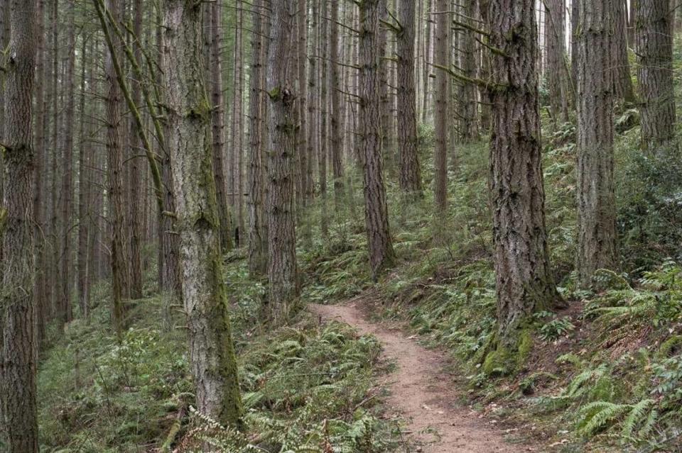
Here’s how to plan your hike around Bellingham weather this spring, with tips from experts
Spring is right around the corner, and it can be a tricky time for outdoor-minded Bellingham residents. As it gets warmer, there’s less of a guarantee for good weather for skiing and snowshoeing, and you still can’t quite count on clear skies for hiking. During this slightly unpredictable time, planning a day outdoors can take a bit of research into the weather. Here’s what to know.
Which weather forecast is best?
The first task when planning your hike around the weather is finding a forecast you trust. Many avid hikers already have their preferred sources. Ken Harrison, the head of Bellingham-based Boomers Hiking Club, recommends using the National Oceanic and Atmospheric Association’s forecast because of its precision and accuracy, as well as mountain-forecast.com and Weather Underground.
“With NOAA, you are able to pinpoint where you’re going,” Harrison said.
Anna Roth, hiking guide manager at the statewide hiking advocacy non-profit Washington Trails Association, said it can be helpful to read NOAA’s written description of the day’s weather as well.
“I would read the forecast narrative for the day and think about looking at the hour-by-hour forecast rather than just the high and the low for the day,” Roth said.
Roth, who’s based in Seattle, also recommended checking the exact forecast for the trailhead, a feature that WTA’s page for each hiking trail includes.
“The weather in Bellingham is not going to be what the weather is halfway up 542, or at Mount Baker or at Oyster Dome,” Roth said.
Hiking in the rain
So you’ve picked a forecast. Chances are it has precipitation listed as a simple percentage.
The actual chance that it’s going to rain on your trail is a little more tricky. The percentage is calculated by multiplying the probability that rain will hit a given area by the fraction of the area that the rain is expected to cover, according to the National Weather Service. A low chance of rain in Bellingham as a whole doesn’t rule out the possibility that rain is almost certain where you plan to hike, so check more localized predictions.
According to Harrison, he’s found that even if you do get caught in the rain, it’s easy to wait out.
“I’ve learned that if there’s even a small threat of rain, you go anyway. And nine times out of ten it’s gorgeous,” Harrison said. “We have a saying that storms travel fast in the wilderness. So if you don’t like the weather, you wait ten minutes.”
WTA recently added a snow level tracker to their hike finder map. Hikers can use it to figure out if there’s snow on the ground of their intended trail, even if it’s not currently snowing. For data on avalanches, Roth recommended checking the Northwest Avalanche Center’s site.

Additional tips and tricks
One factor that’s often overlooked, according to Roth, are road conditions.
“Something I really want to be aware of is whether or not I can expect snow and ice on the road to and from the trailhead,” Roth said.
Additionally, Roth suggested hikers pay attention to cloud patterns so that they don’t complete a tough hike just to find that the view at the top is blocked by a thick layer of clouds.
“Oyster Dome’s got that gorgeous view,” Roth said. “But if you can’t see anything, maybe that’s not why you want to go up Oyster Mountain.”

