Soaking rains, storms create soggy start to the week for eastern Ontario, Quebec
Monday came with quite a bit of rain for eastern Ontario and Quebec as a warm front brought a bout of precipitation. The pattern of rain looks to linger across parts of the region into Tuesday.
MUST SEE: Significant flooding hits Halifax area for second time in weeks
For Tuesday morning, southwestern Ontario will be in the clear but some rain is going to stick around into the afternoon for areas within the GTA. The heavier bands will be farther northeast with the embedded storms impacting eastern Ontario and southern Quebec.
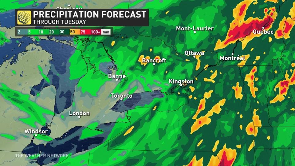
Most areas will get 20-30 mm of rainfall. The same can't be said for eastern Ontario and southern Quebec where, locally, rainfall totals hitting 50 mm are forecast in an area stretching from eastern Lake Ontario to the St. Lawrence River. Some localized flash-flooding is possible in this region, as heavy rains threaten Kingston, Ont., and Montreal, Que.

Lesser amounts are forecast across southwestern Ontario, but most places will likely accumulate at least 10-20 mm of rainfall.
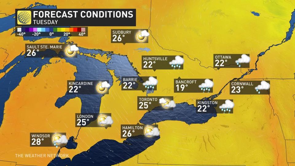
Behind the cold front, temperatures will drop to just below seasonal. By Wednesday, however, some warmer temperatures return with the mercury climbing close to 30°C across southwestern Ontario and with mid-20s forecast elsewhere.
Another thunderstorm risk is forecast to emerge for parts of the region Thursday along a cold front.
Stay with The Weather Network for the latest on conditions across Ontario and Quebec.

