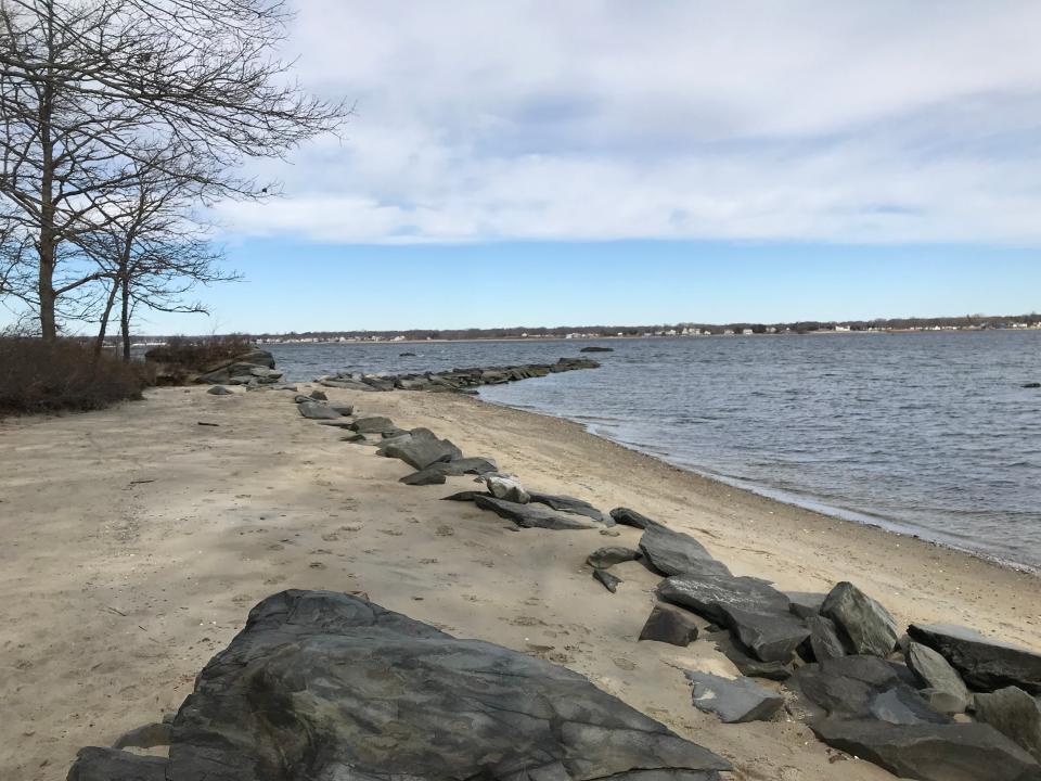
A portion of Warwick is cut off from the rest of the city by East Greenwich. Why?
A weird quirk about the town of Warwick is that it’s not completely contiguous.
The Potowomut neighborhood might share a ZIP code with East Greenwich, but it remains – as it was when the area was first colonized – a part of Warwick, even though the two areas are not connected by land. It is essentially the Rhode Island equivalent of the Upper Peninsula of Michigan.
While hiking at Goddard Memorial State Park, located on the Warwick peninsula, two What and Why readers got to “pondering the mystery” of why Goddard Park and Potowomut aren’t part of East Greenwich.
“Why is Warwick divided by East Greenwich?” they wrote in. “Or maybe the question is, how did Warwick lose East Greenwich?”

Early history
Let’s take this back to the very beginning of Rhode Island history.
The oldest Rhode Island municipalities are Providence (1636), Portsmouth (1638), Newport (1639) and Warwick (1642). And then, after a 27-year gap, Westerly was founded.
When you look at early maps of Rhode Island, such as “A Mapp of New England: The first map of New England" (Burden) by John Seller Hydrographer To the King” printed in 1676, the landscape is distorted from what we would recognize today, but, more importantly, town lines are not drawn as clearly as we do now.
Warwick is just a name written across the map. Providence is written twice, and much of the land belongs to the tribes.
When did East Greenwich become a town?
All of that changed at the end of King Philip’s War.
After the brutally fought war, almost no structures in Narragansett territory were left standing. Having forcefully claimed the lands, the Colonists were just starting to return to the area when Connecticut made a claim on the area by right of recent conquest, according to the East Greenwich Rhode Island Preservation Report.
To assert its authority over the land, the Rhode Island General Assembly in 1677 founded the Town of Greenwich, named after Greenwich, England, dividing it into East and West Greenwich in 1678.
The land was divvied up and given to 48 men as a gift for their service during King Philip’s War. And when people start owning land, maps and boundaries quickly become clearer.
Why wasn’t Potowomut included in East Greenwich?
Now that we’ve gone through all the history, let's get to the crux of the question: Why wasn’t Potowomut included in East Greenwich?
Because what was arguably the most prominent family in Warwick history had already settled it.
What and Why RI: Why do Rhode Islanders love low-numbered license plates? Here's what we found
John Greene, a contemporary of Roger Williams and an ancestor of Nathanael Greene, was one of the first settlers in Warwick. In July 1654, the Town of Warwick purchased the Potowomut peninsula from Taxxomann (also sometimes spelled Taccomann). One of John Greene’s sons, James Greene, was one of the first settlers of Potowomut, according to the book “The Greenes of Rhode Island.”
So, unlike the lands that the Rhode Island General Assembly was frantically giving away to hold Connecticut off, this parcel of land had clear ownership. And it’s worth considering that in the 1600s, traveling by sea was just as good as traveling by land, so they didn’t view Warwick being noncontiguous as a concern.
And that is how the map that we know today came to be.
What and Why RI is a weekly feature by The Providence Journal to explore our readers' curiosity. If you have a question about Rhode Island, big or small, email it to klandeck@gannett.com. She loves a good question and is particularly hoping to get some more about how places and things in Rhode Island got their names.
This article originally appeared on The Providence Journal: Why Potowomut peninsula in Warwick is cut off by East Greenwich

