Post-holiday storms will create travel troubles for millions with rain, snow and icy mix
The same storm system that produced blizzard conditions across the central and the northern Plains over Christmas will unravel and weaken Wednesday — but will still slowly move east and likely cause delays and difficulties for millions returning home after the holidays.
One of the highest snow totals from the past several days was 14.6 inches in Spearfish, South Dakota. The storm also produced 13 inches in Chadron, Nebraska, more than a foot in several locations in Colorado, more than 8 inches in Bird City, Kansas, and a range of half an inch to more than 6 inches of snow across the Denver metro area.
Through Wednesday, a combination of ice and snow accumulated on roadways, plus a new round of a messy mix of ice and snow, will continue to create issues for portions of extreme eastern Colorado, Nebraska, South Dakota, Minnesota and into Missouri.

On Thursday, the storm will continue to creep east, bringing light rain and snow showers to parts of the Midwest, the Great Lakes and the Ohio River Valley.
Thursday night into Friday, a light icy mix will be possible across the Ohio Valley and the Tennessee River Valley. Some flurries or light snow could even fall across parts of Tennessee and northern portions of Mississippi, Alabama and Georgia.
Little to no snowfall accumulation is expected across these southern locations but, if flakes fly, they will certainly be a novelty for these areas.
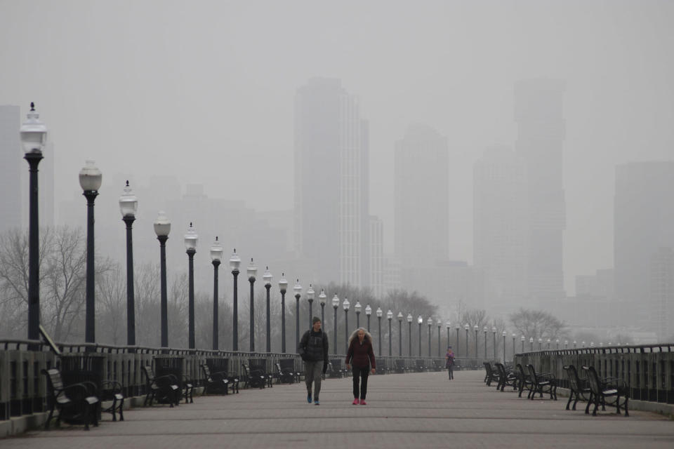
As the Midwest contends with the messy winter storm, the East Coast will deal with dense fog and heavy rain.
A new storm system developing in the Southeast will move up the East Coast in the next few days and bring with it more heavy rain and some flooding to the mid-Atlantic, the Northeast and New England on Wednesday into Thursday.
Another 1 to 2 inches of rain, locally up to 3 inches, will be likely in the mid-Atlantic northward into the New York City area Wednesday and up into southern New England on Wednesday night into Thursday morning.
River flooding in the Northeast will also be a concern. The most likely scenario will be minor flood stage levels, with an outside chance of some moderate stage flooding if the rainfall amounts are closer to 3 inches.
Rivers to watch include the Passaic and the Millstone rivers, as well as the Charles River in Dover, Massachusetts.
The biggest impact of the East Coast heavy rains will be travel delays both on the roads and in the air.
Between morning fog and afternoon and evening rain, major airport hubs such as Reagan National, Philadelphia, Newark, La Guardia, JFK and Boston Logan can all expect hefty delays.
For places such as Washington, D.C., and Philadelphia, the heaviest rain is expected to fall during the afternoon and evening hours Wednesday. For New York City, the downpours are expected to begin by early afternoon Wednesday and last until the early morning hours of Thursday. As the storm system continues to move up the coast, Boston's rain will be the heaviest between midnight and 12 p.m. ET Thursday.
This article was originally published on NBCNews.com

