Powerful 6.9-magnitude earthquake hits Mindanao in Philippines
A magnitude-6.9 earthquake struck the Mindanao region of the Philippines on Friday, the German Research Centre for Geosciences said.
There was no immediate tsunami threat as a result of the offshore quake, according to the Pacific Tsunami Warning Center.
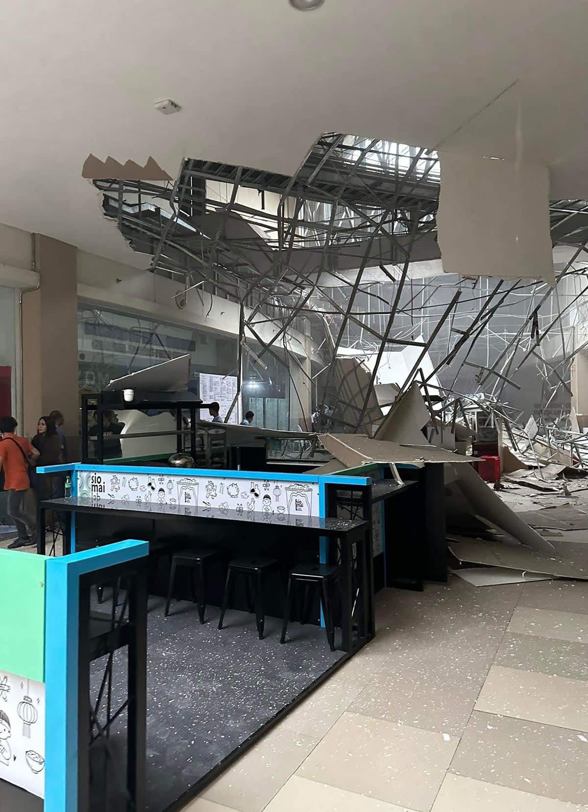
The earthquake struck Sarangani, Davao Occidental, at a depth of 10km at about 4.14pm local time.
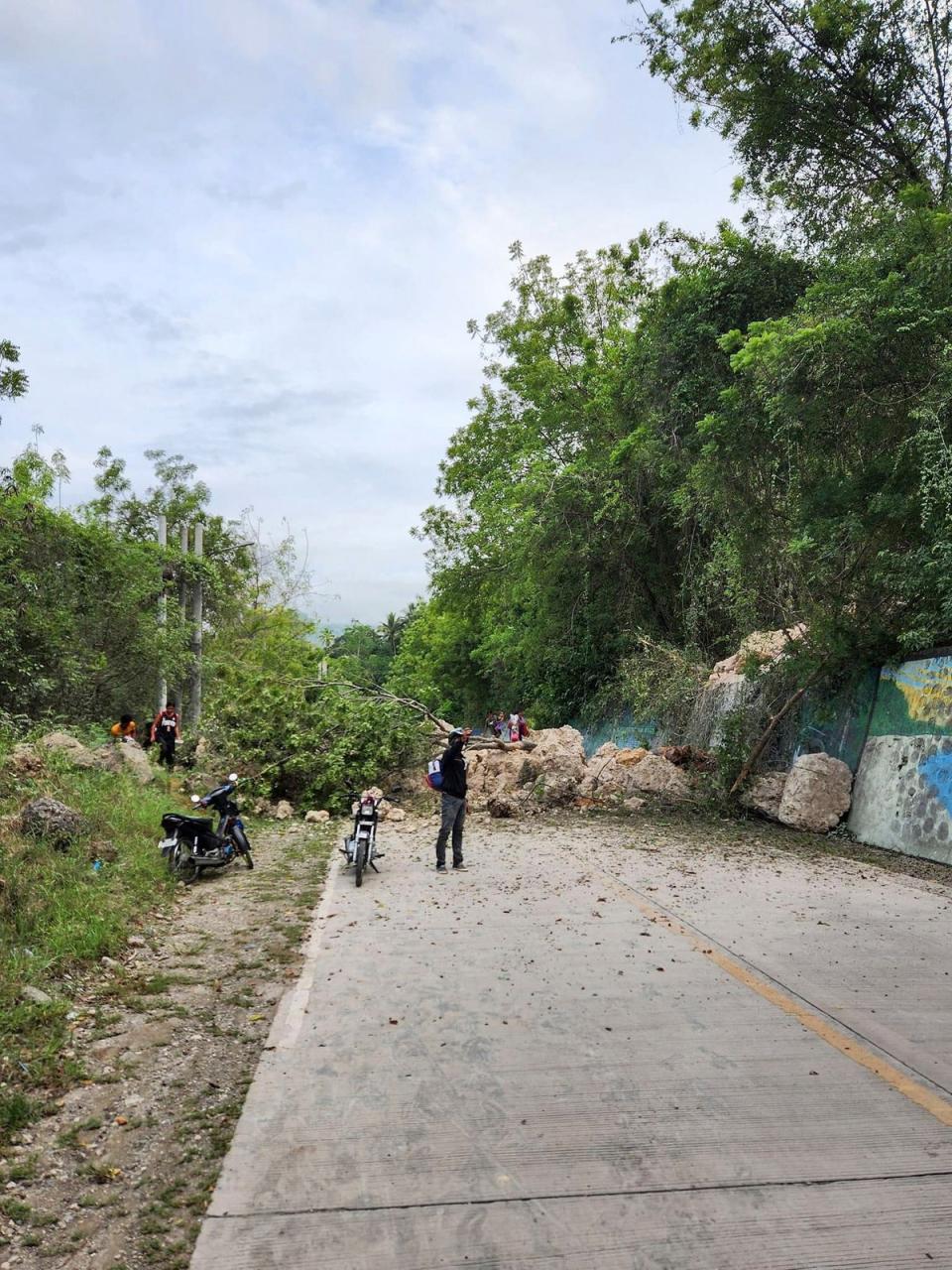
Aftershocks and potential damage are to be expected from such a powerful tremor, the Philippine Institute of Volcanology and Seismology [Phivolcs] said in a bulletin.
In its advisory, the Philippine seismology agency said that “no destructive tsunami threat exists based on available sea-level data”.
It added: “However, earthquakes of this size may generate unusual sea level disturbances that may be observed along coasts near the earthquake epicentre of Davao Occidental.”
Leny Aranego, a radio DJ from General Santos City, South Cotabato in Mindanao, told Reuters they felt the earthquake strongly inside the studio: “We saw how the walls cracked and computers fell,” he said.
So far, there have been no reports of casualties.
At the General Santos City airport, passengers waiting to take flights were evacuated to the tarmac after the earthquake, according to one passenger identified as Michael Ricafort, who was travelling to Manila.
The Philippines is prone to earthquakes as it is located on the Pacific “Ring of Fire”, a horseshoe-shaped area in the Pacific Ocean basin known for its high seismic and volcanic activity.
In June this year a magnitude-6.2 earthquake struck the Philippines. That earthquake struck at a depth of 124 kilometres in waters about three hours’ drive from the capital Manila.

