Quebec to see a hefty snowfall threat and rare December thunderstorm risk
They say good or bad things come in threes. Well, Quebec is going to get a combination of them with a trifecta of lows.
DON'T MISS: Montreal's recent snowstorm was a 'rare' event. Let's uncover why
Some mild air with push in with the second system, much to the delight of many, but it will come with a rainy price attached to the warmth. There is the threat of an overnight thunderstorm across southern Quebec, not normally what you would see in December.
Then, it’s the third and finale storm developing south of the border that’s cause for concern for eastern areas. A heavy swath of snow will threaten far eastern sections, impacting travel for sure. While ski resorts could see 5-10 cm, as much as 15-20 cm of accumulation is anticipated for the Eastern Townships.
Snow potential following thunderstorm risk could be quite hefty for some
All of this mild air means there’s a risk of an overnight thunderstorm across southern Quebec, an event that is quite rare for the month of December.

After the heavy bouts of showers, temperatures will begin to cool in dramatic fashion late Sunday night, transitioning the mild rain over to snowfall for downtown Montreal.
This snowfall event is highly elevation-dependent across Quebec City, with as little as 5-10 cm falling in the city and much more across the local ski resorts.
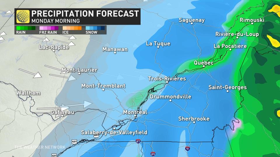
The northerly track of the system will push milder temperatures across much of southern Quebec on Sunday, as well as heavy rainfall, at least to start.
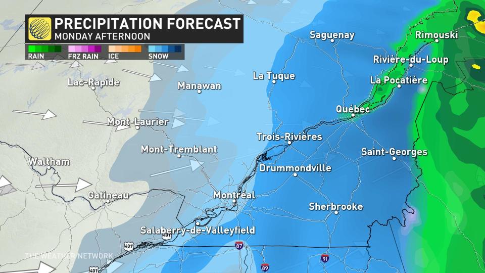
The transition to wet snow continues to move north across Quebec City as snowfall rates ease late Monday afternoon and evening across Montreal.
The Eastern Townships, Gaspe Peninsula, and North Shore are the most at risk for significant snow. The Eastern Townships could be in line for 15-20 cm of snow, while farther west, 5-10 cm is possible for Quebec City. Amounts diminish even further heading closer to Montreal.

Residents should prepare for a soggy end of the weekend, and winter travel on Monday morning.
Continue checking back through the weekend as forecasters work to nail down the track and eventual impacts of this late-weekend system.
Going somewhere? Check out the current highway conditions before heading out!
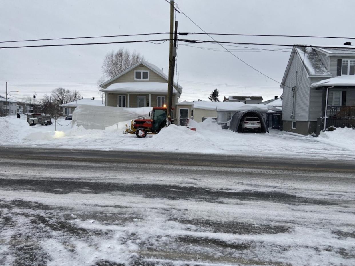
Thumbnail courtesy of Sorel-Tracy.

