Rain today in Milwaukee, another storm possible next week, and 'a lot of chill' to go before Spring weather
The fourth storm system this month is expected to move into southeast Wisconsin bringing rain today and a chance of snow flurries on Friday.
Already trailing behind it is another storm that could hit Wisconsin next week, as forecasters say Spring weather is still a ways off.
As the weather moves in this is what you need to know.
More rain and light snow expected in southeast Wisconsin
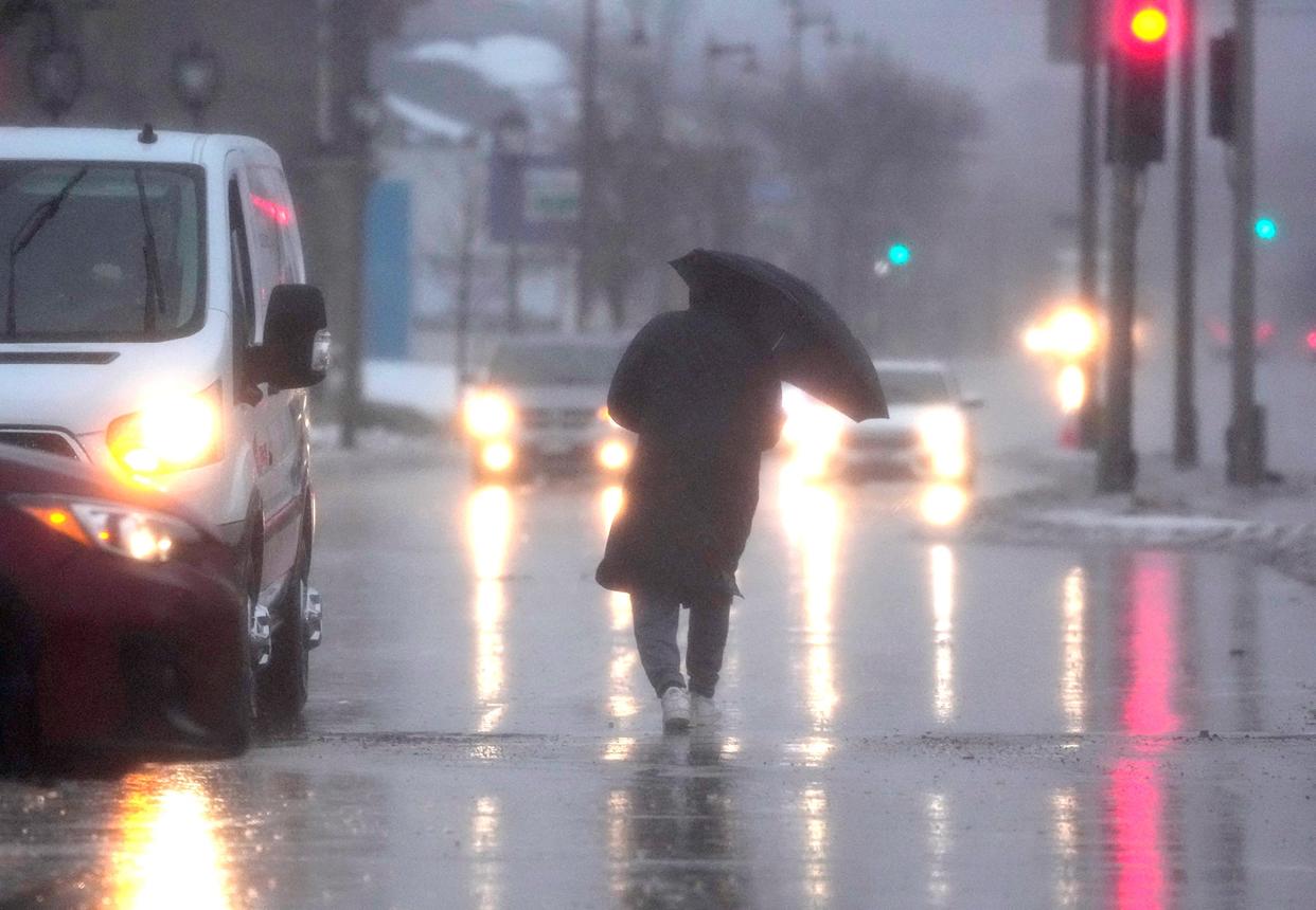
In southeast Wisconsin, temperatures are expected to be mild when the rain starts falling around noon on Thursday and into the night. However, as temperatures drop on Friday morning, the rain will begin to turn to snow flurries — though no significant snow accumulation is expected.
National Weather Service meteorologist, Paul Collar, also mentioned that the system will not pack as much moisture as the one at the end of February, which dropped two inches of rain in the Milwaukee area.
Another storm could be likely next week
The weather service is already tracking another storm system that is making its way through the western part of the country and is expected to make an appearance in Wisconsin on Thursday or Friday of next week.
This storm is expected to bring rain to southeast Wisconsin as temperatures are expected to remain mild in the region, however, forecasters say the storm is still too far out to start making any predictions about how much precipitation it will bring.
Way up north under a winter storm warning
While most areas north of Milwaukee have seen snow expectations downgraded ahead of this week's storm, much of the northern tip of Wisconsin, including 7 counties near lake superior, is still under a winter storm warning.
Collar said some of these counties could see as much as 10-15 inches of lake-enhanced snow just days after a long-duration snow event affected much of Wisconsin last weekend.
Places in east central Wisconsin, like Green Bay, Appleton, Sheboygan and Oshkosh have a chance to see 1 to 4 inches on Thursday and into Saturday. However, places that are more northern, like Wausau and Rhinelander have a higher chance of seeing 6 inches.
February & March have been especially snowy months for northern Wisconsin, with Rhinelander having received 41.7 inches of snow, Green Bay 39.0 inches and Wausau 38.0 inches.
How close are we to spring weather?
Collar said this is always the million-dollar question during March in Wisconsin, and to the dismay of many, he said that spring is unlikely to settle in Milwaukee in the next few weeks as temperatures are expected to drop again and another storm is tracking toward the badger state.
“Nope, we’ve still got a lot of chill left to get through, and another possible storm next week, but we will eventually turn the corner,” said Collar.
Wisconsin weather radar
Click here if you cannot view the image.

Our subscribers make this reporting possible. Please consider supporting local journalism by subscribing to the Journal Sentinel at jsonline.com/deal.
DOWNLOAD THE APP: Get the latest news, sports and more
This article originally appeared on Milwaukee Journal Sentinel: Rain, cold temperatures expected today in southeast Wisconsin

