Rain on the way for Southern California: What that means for the weekend
After weeks of dry conditions and Santa Ana winds, rain is headed toward Ventura County.
A storm could show up as early as Sunday afternoon, said David Sweet, a meteorologist at the National Weather Service in Oxnard. By Sunday night, the forecast calls for the chance of rain to reach 70%.
A chance of precipitation is expected to stick around through Wednesday. In all, local areas could see a quarter-inch to a half-inch of rainfall, Sweet said.
Late next week, what looks like a stronger storm could move into the area, he said. But for now, it is too soon to say whether it will show up locally or how much rain could fall.
If people are rooting for rain, it is looking more hopeful, Sweet said. There’s a trend for the jet stream – a sort of highway of storms – to start pushing farther south.
“We’re looking at a trend toward a wetter pattern,” he said.
Current satellite imagery shows the next low (comma shaped clouds) west of the Pacific NW, associated with our upcoming chances of rain beginning Sunday. We are expecting the main low center to pass well to our north, so that could limit rainfall totals. #socal #cawx pic.twitter.com/LswHqDzwbl
— NWS Los Angeles (@NWSLosAngeles) December 14, 2023
Rainy season gets a dry start
That comes after being stuck in a dry pattern for the past few weeks.
So far, the county has recorded a drier than normal start to the rainy season. As of Thursday, much of the county had received below 20% of normal rainfall at this point in the water year, which runs from October through September.
But it is still early.
October and November mark the start of the local rainy season but aren’t normally the region’s wettest months. Without early rainfall, however, there’s little to blunt the effect of dry Santa Ana winds. When the winds kick up, fires can ignite easier and flames can burn faster and farther as the vegetation dries out.
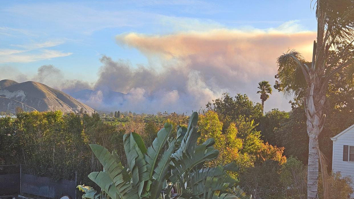
Over the past couple of weeks, Santa Anas have downed trees, prompted power outages and stoked a wildfire. The South Fire ignited near Somis on Saturday and burned more than 2,700 acres in western Ventura County.
El Niño may mean a wet winter
After a string of dry years, the county got drenched during a wet 2022-23 despite early predictions of below normal rainfall. Some spots reached double that of a normal season, according to preliminary figures from the Ventura County Watershed Protection District.
The wet winter helped recharge groundwater supplies and boost local reservoirs. In August, typically one of the driest months of the year, Tropical Storm Hilary brought more rain.
A significant El Niño pattern also showed up this summer, and the warmer waters near the equator can mean a wetter winter for Southern California.
But the declaration of an El Niño doesn't guarantee a wet, stormy winter, said Julie Kalansky, a climate scientist at the Scripps Institution of Oceanography. There is still a lot of variability and not every event is going to follow the general pattern, she said.
Before the rain reaches Ventura County late this weekend, the National Weather Service expects warmer temperatures with highs in the low to mid 70s through Friday. Then, cooler temperatures with highs in the mid-60s are expected as the storm gets closer.
Cheri Carlson covers the environment and county government for the Ventura County Star. Reach her at cheri.carlson@vcstar.com or 805-437-0260.
This article originally appeared on Ventura County Star: Rain on the way for Southern California. Here's what to expect

