A Raleigh park is one of Yelp’s top US spots for fall leaves. 4 trails to try
Two North Carolina destinations made Yelp’s list of the “Top (20) Spots for Fall Foliage in the U.S.” published this week, including William B. Umstead State Park in Raleigh.
The other is the Blue Ridge Parkway, which runs through the western part of the state.
Umstead slipped onto the list at No. 20. The Parkway was ranked No. 5.
Leaf-peeping, as it’s called in the tourism industry, is a totally different experience in the two places; while the Parkway is largely a driving experience, with the views of changing leaves framed by a windshield, Umstead is best enjoyed at a slower pace.
From wildland to farmland and back again
The park has:
34.5 miles of hiking trails
13 miles of bike trails
13 miles of trails open to horseback riding
According to its management plan, the 5,599 acres that are now the park were once occupied by bison, elk and bobcats and crossed by Native Americans who had a trading path through the area. Eventually the oak, hickory and beech forests were cleared for farming, but by the 1930s, when poor agricultural practices had stripped the land of its nutrients, it was bought up by federal and state agencies for conservation and recreation use.
It became a state park in 1937 and at one point included separate parcels for Black and white visitors. Those were brought together as one park open to all people in 1966, the state says.
Yelp said the all-time top spots list came from user reviews that included phrases such as “fall foliage” and “autumn leaves.”
When to go: Raleigh leaves vs. Mountain leaves
Forecasters say fall colors will be their most intense in Raleigh and Eastern North Carolina in early November. That’s about the same time the colors fade in the N.C. mountains.
But notions of “peak” color are subjective, and a walk through Umstead anytime from late October through mid-November will be rewarding.
If you’ve never been to Umstead
Umstead State Park is laced by 15 named trails, all classified as easy or moderate excursions. None are considered handicap-accessible.
A map of the park is available online and it’s always a good idea to take along a screenshot in case you lose cell service in the park. Wear supportive shoes and take water and snacks.
The main parking and entrance areas for Umstead are the Reedy Creek Entrance, from Harrison Avenue at Exit 287 off I-40 on the southwest side of the park, and the Crabtree Creek Entrance off U.S. 70 on the park’s north side.
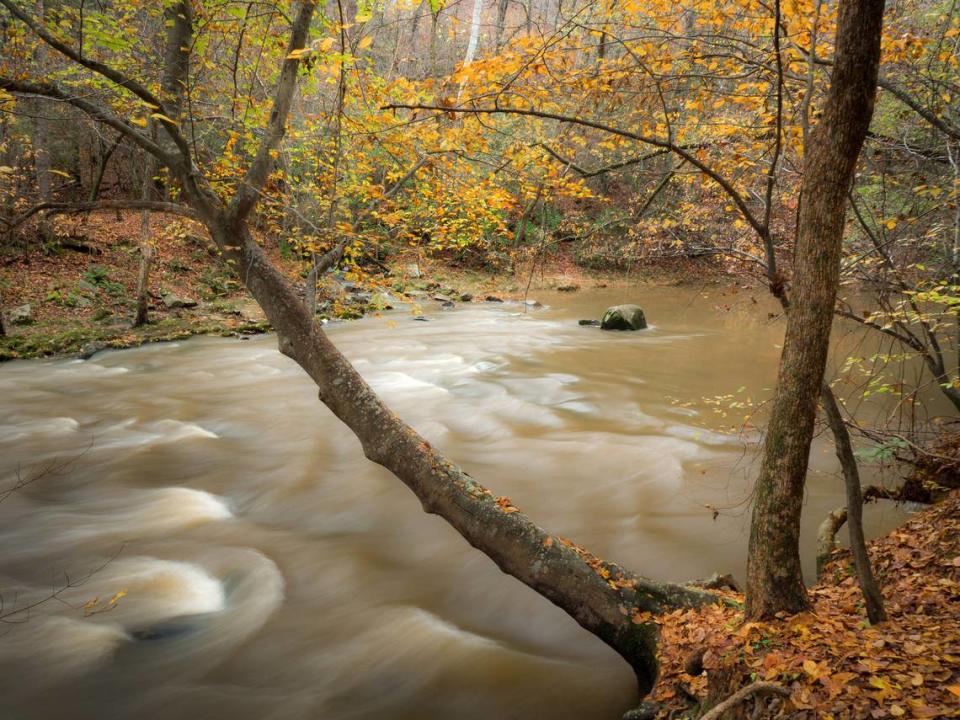
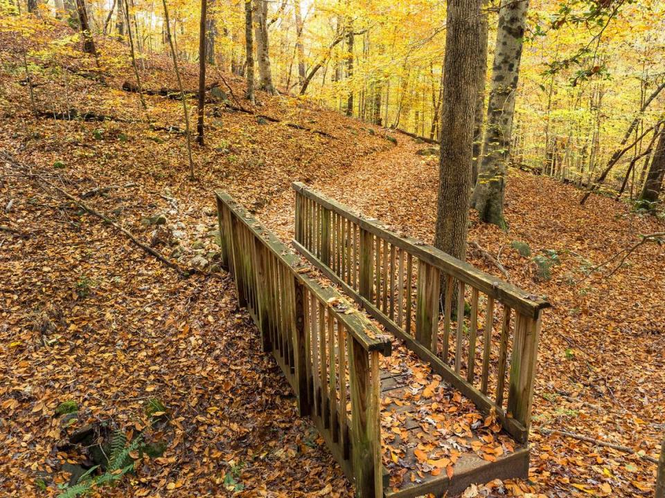
Hiking trails that mix color with water
While nearly all the trails will take you through deciduous forest with changing leaves, here are some outings favored by local users. Those with proximity to water make for especially scenic hikes and nice photos because they multiply the effect of the autumnal colors.
▪ Pott’s Branch Trail (accessed from the Crabtree Creek Entrance) is an easy 1.3-mile loop that runs along Pott’s Branch and Sycamore Creek. Good for walks with small children.
▪ Sal’s Branch Trail (accessed near the park visitors’ center, through the Crabtree Creek Entrance) is a moderate 2.8-mile loop, but can be shortened by about half by bisecting the loop via the gravel path across the middle. The full loop and the abbreviated one both take you along the park’s Big Lake, where fall colors are beautifully reflected on the water.
▪ Reedy Creek Lake Trail (trail head is on Harrison Avenue just before the parking area at the Reedy Creek Entrance; Google Maps shows this better than the park map) is a moderate 0.7-mile trek one way to the north side of Reedy Creek Lake, and from there you can turn around and follow the same path back or pick up Reedy Creek Park Road and then the Loblolly Trail for a much larger loop.
▪ Loblolly Trail, accessed from the Reedy Creek Entrance, is a moderate 2.7-miles one way hike that goes past a mitten-shaped pond in the park and crosses a creek that feeds it before terminating at the South Turkey Creek Multiuse Trail. If you follow it that far, remember it’s 2.7 miles back over the same trail.
