Email: 'Shawnee County will be significantly impacted by severe storms in the next 90 minutes'
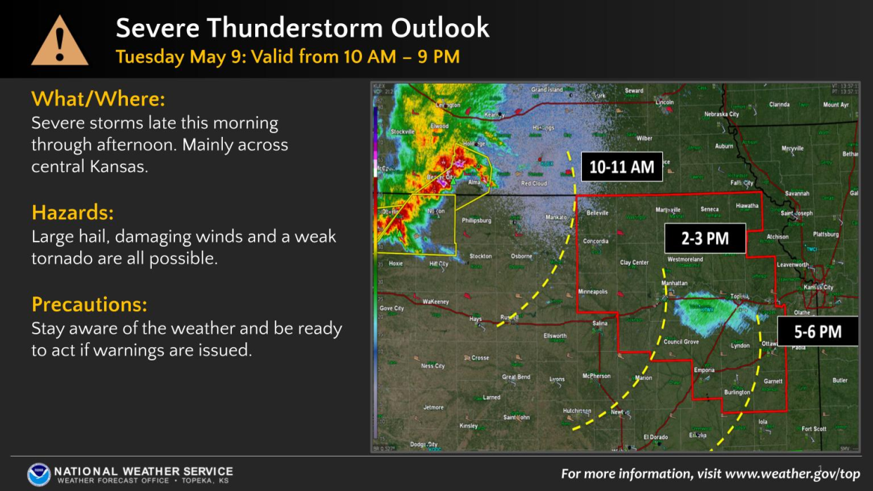
A band of thunderstorms swept Tuesday through much of northern Kansas, moving southeast while bringing large hail and damaging winds to some areas.
Parts of Shawnee County were under a total of three severe thunderstorm warnings during the late afternoon and early evening, said the county's department of emergency management. It indicated there were no known damages in Shawnee County.
The National Weather Service reported quarter-sized hail was reported at 4:03 p.m. at Osage City and an 80 mph wind gust was reported at 4:47 p.m. near Overbrook, both in Osage County, just south of Shawnee County. Tree damage was reported near Overbrook.
Storms featured wind, rain, tornado warnings
The storms, which also featured heavy rain, entered the state Tuesday morning, passing from Nebraska into northwest and north-central Kansas.
Rotation detected on radar caused the weather service to issue tornado warnings for parts of Russell, Mitchell, Jewell and Clay counties.
A spotter reported a tornado briefly touched down about 1:07 p.m. near Miltonvale in north-central Kansas, the weather service said.
Truck rollovers were reported along I-70
The weather service Tuesday morning had issued severe thunderstorm watches covering at least 44 counties, with Topeka, Lawrence, Manhattan, Salina and Emporia being among the cities involved.

"Shawnee County will be significantly impacted by severe storms in the next 90 minutes," Shawnee County's emergency management department said in an email sent out at 2:42 p.m. Tuesday.
Truck rollovers and poor visibility had been reported along Interstate 70 in northern Kansas, the email said.
Contact Tim Hrenchir at threnchir@gannett.com or 785-213-5934.
This article originally appeared on Topeka Capital-Journal: Hail, winds part of severe storms that swept across northern Kansas

