Severe thunderstorm watch in effect across Northern Colorado
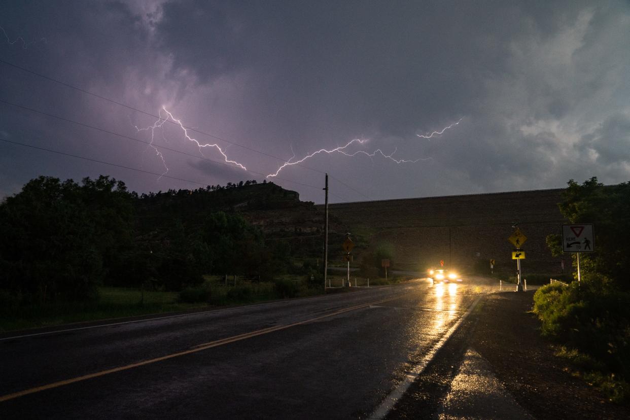
If you've grown weary of this June's persistent cycle of afternoon thunderstorms cutting your outdoor plans short, good news is in the forecast.
You'll just have to get through one more afternoon of potentially severe weather before the skies clear.
The National Weather Service is predicting an increasing chance of severe thunderstorms in the Fort Collins area after 2 p.m. Thursday. With a 70% chance of precipitation, it's likely at least a few areas will get dumped on. The foothills between 6,000 and 9,000 feet are under a hazardous weather outlook, with flash flooding possible in the Cameron Peak burn scar.
Thursday's expected thunderstorms are forecast to subside after 9 p.m., giving way to a warming trend during the last week of June.
Golf ball-sized hail expected from thunderstorm nearing Golden, Lakewood
Less than 24 hours after large hail pummeled Red Rocks Amphitheater and Morrison, a new thunderstorm is expected to drop golf ball-sized hail in the surrounding area, including Morrison, Golden, Wheat Ridge and Lakewood.
The National Weather service called a severe thunderstorm warning for the area through 3 p.m. Thursday.
− Eric Larsen
Severe thunderstorm watch in effect across 14 Colorado counties
The National Weather Service issued a severe thunderstorm watch across 14 Northern Colorado, Eastern Plains and Denver Metro counties shortly after noon Thursday. The watch means that conditions are favorable for the development of severe thunderstorms, including flood-producing rain and hail. The weather service will upgrade a watch into a warning when thunderstorm conditions are present in an area.
The counties included in the watch are: Adams, Arapahoe, Boulder, Broomfield, Denver, Douglas, Elbert, Jefferson, Larimer, Lincoln, Logan, Morgan, Washington and Weld.
− Eric Larsen
Never miss an update: Get local weather, news and sports with a discounted digital subscription today
Fort Collins' long-range forecast
Colorado weather is always subject to change, but here's what the experts say to expect as next week's daytime highs creep toward 90 degrees. From the National Weather Service and the Weather Channel:
Friday: Mostly sunny with a high near 84 degrees and low near 50
Saturday: Sunny with a high near 85 and a low near 51
Sunday: Sunny with a high near 80 and a low near 54
Monday: Sunny with a high near 86 and a low near 56; slight chance of showers and thunderstorms before midnight
Tuesday: Sunny with a high near 86 and a low near 57; slight chance of showers and thunderstorms
Wednesday: Mostly sunny with a high near 88 and a low near 55
Thursday: Mostly sunny with a high near 84 and a low near 56
Friday, June 30: Mostly sunny with a high near 80 and a low near 56
Saturday, July 1: Mostly sunny with a high near 77 and a low near 55
This article originally appeared on Fort Collins Coloradoan: Thunderstorms forecast in Larimer County, Fort Collins before warming

