Redistricting trial zooms in on how hotly contested congressional maps affect Lawrence, northeast Kansas
Kansas City, Kan. — To Shannon Portillo, a set of GOP-authored congressional maps earlier this year makes her Douglas County Commission district a loser all the way around.
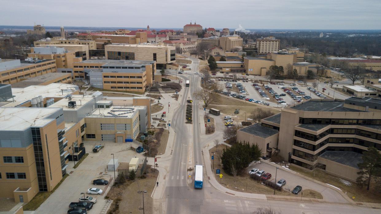
On one hand, the part of western Lawrence she represents will now be part of the sprawling 1st Congressional District, which terminates five-and-a-half hours later in Goodland, a different time zone — and a different world — away from the liberal college town.
The rural parts of Douglas County in her district would remain in the 2nd Congressional District, alongside Topeka, Leavenworth and, controversially, a chunk of Kansas City, Kan., the principal piece of the new maps that are being challenged in Wyandotte County District Court and, soon, the Kansas Supreme Court.
More: Critics worry over plan to lump Lawrence with other college towns — and rural western Kansas
But while rural and exurban parts of the county may grumble about Lawrence, its departure from the 2nd District might make it harder for farmers and rural residents in the area to get the attention of their elected member of Congress.
"It makes my work harder," said Portillo, who also works as an associate dean at the University of Kansas' Edwards campus. "When we think of calling up to our federal representatives, that's two representatives ... The more urban part of my district is going into a more rural congressional district and the more rural part is staying in a more urban congressional district."
The second day of trial on the congressional maps continued with a heavy focus on the Kansas City metropolitan area but also included a healthy dose of discussion about northeast Kansas and how Topeka, Lawrence and other communities would be served by the new plan.
More: Heated legal battle over Kansas congressional map begins; Supreme Court likely the final destination
The courtroom battles are largely to set a factual record to help guide the state's highest court, which is expected to weigh in if — or, more likely, when — the case is appealed.
Much of the case has focused on the Kansas City metro, with Wyandotte County divided along Interstate 70 and the Kansas River, frustrating those who wanted the county to stay with the bulk of Johnson County.
But also of note was the move of Lawrence into the 1st District, which has been defended by the bond between KU and Manhattan's Kansas State University.
"I don't know how you would contest Lawrence and Manhattan aren't similar interests," Senate President Ty Masterson, R-Andover, said during a hearing on the maps in January.
Decision to link KU, Kansas State debated in court
Portillo acknowledged the obvious similarities between the two schools and towns but said that once you move past the surface-level similarities, the two cities are quite different.
Lawrence, she said, is bound both to Topeka and the Kansas City area, pointing to Douglas County residents who will go east for entertainment, work and other activities. Manhattan, she added, is somewhat more isolated.
"I think there are reasons to keep us separate," Portillo said, adding the universities might be better served by having their own congressional representative to lobby for funding.
Patrick Miller, an associate professor of political science at KU, echoed those sentiments.
He added that if lawmakers really wanted to keep the state's major universities together, they could have looked at including Washburn University and Emporia State University in the district as well.
And the move of Lawrence, Jefferson and Jackson counties into the 1st Congressional District affected the state's Native American population as well.
Half of the state's federally recognized tribes are now in the 1st Congressional District, while the other two remain in the 2nd District. And some of the tribes are now cut off from Haskell Indian Nations University in Lawrence, where there is a significant native population.
Miller noted a separate map proposal, one introduced by the League of Women Voters of Kansas, would have addressed many of these issues, in comparison with the one the Legislature ultimately approved.
"You could do it in a way that is not destructive to other communities of interest," he said.
Andrew Bahl is a senior statehouse reporter for the Topeka Capital-Journal. He can be reached at abahl@gannett.com or by phone at 443-979-6100.
This article originally appeared on Topeka Capital-Journal: Kansas redistricting map trial looks at effect on Lawrence, Topeka
