Region to miss weather extremes facing much of U.S.
Wichita Falls and North Texas should avoid the weather problems much of the rest of the country faces in coming days.
The National Weather Service predicts a fast-moving winter storm will bring heavy, snow and gusty winds to the Northern Plains, Upper Midwest and Mid-Mississippi Valley through Saturday morning. The same storm will spread wintry precipitation from the Southeast into the Northeast U.S. this weekend into early next week.
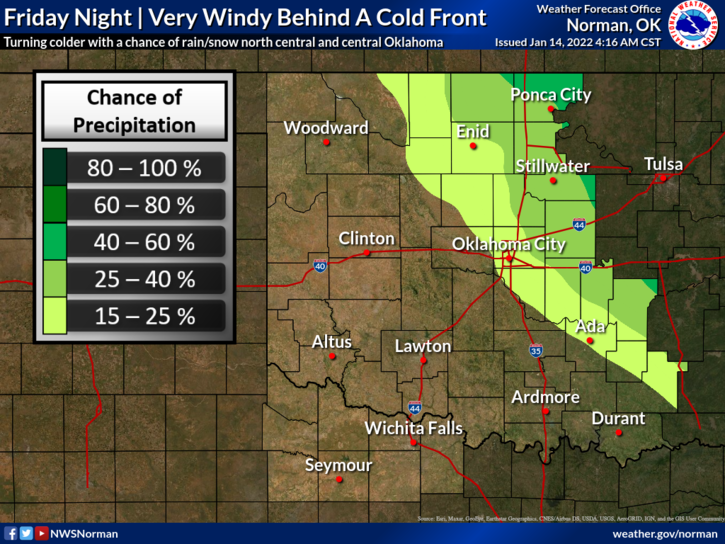
Closer to home, the weather system should just sideswipe North Texas. The NWS said a warm and breezy Friday would be followed by a much colder and breezier Satuday with a high near 40 degrees but with north winds bellowing up to 45 mph. The overnight low into Sunday morning could drop to 20 degrees.
Red Flag wind warnings will be in effect farther to the west.
Conditions begin moderating on Sunday with a predicted high of 54 degrees. Temperatures should warmer back into the 70s by Tuesday before dipping into the 50s again as the rollercoaster weather pattern continues.
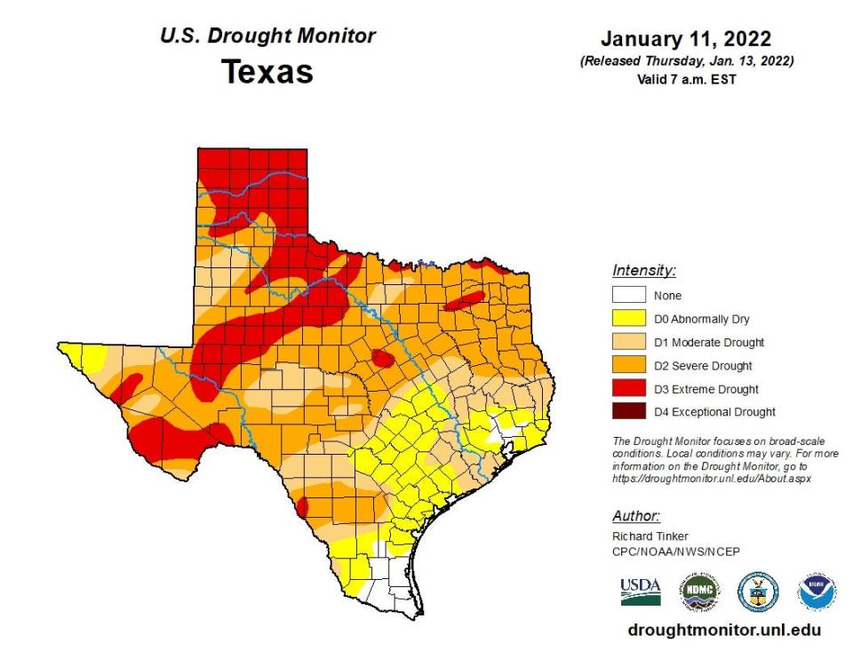
No rain is in the forecast for the next week. Most of Wichita County is now in Extreme Drought, according to the U.S. Drought Monitor.
This article originally appeared on Wichita Falls Times Record News: Region to miss weather extremes facing much of U.S.

