'Remain vigilant and prepare.' Tropical depression could develop in Gulf of Mexico
- Oops!Something went wrong.Please try again later.
Florida residents are encouraged to "remain vigilant and prepare for possible impacts early next week" as a tropical disturbance heads toward the eastern Gulf of Mexico.
Florida Gov. Ron DeSantis on Thursday directed emergency officials to prepare for the potential of a tropical system's impact on the state next week.
The system in the western Caribbean Sea is forecast to move into the eastern Gulf of Mexico and has a high chance of strengthening. A tropical depression is likely to form late this weekend or early next week, according to the latest advisory from the National Hurricane Center.
Florida forecast: Three key factors that will determine if Gulf storm becomes a hurricane
Where is the tropical disturbance now?
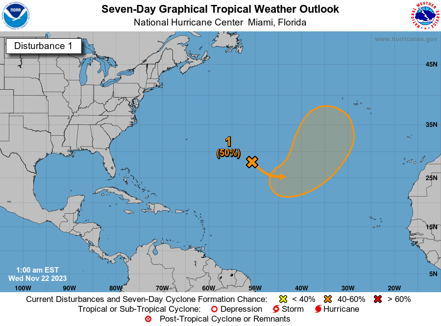
Satellite images indicate that the area of low pressure over the northwestern Caribbean Sea is gradually becoming better organized, with increasing thunderstorm activity and a better-defined low-level circulation.
Environmental conditions appear conducive for further development during the next several days, and atropical depression is likely to form late this weekend or early next week while it moves generally northward over the eastern Gulf of Mexico.
Residents in the Yucatan Peninsula of Mexico, western Cuba, and Florida should monitor the progress of this system.
Formation chance through 48 hours: medium, 40 percent.
Formation chance through 7 days: high, 80 percent.
Tropics watch: Tropical disturbance moving toward Florida, Gulf of Mexico has high chance of development
Some spaghetti models show possible path toward Florida
Gov. Ron DeSantis directs emergency officials to 'prepare for a potential tropical system'

On Thursday, Aug. 24, DeSantis met with Kevin Guthrie, executive director of the Florida Division of Emergency Management.
He later tweeted, "I've directed @KevinGuthrieFL & the FL Emergency Management team to prepare for a potential tropical system currently moving across the Yucatán Peninsula.
"Residents should remain vigilant and prepare for possible impacts early next week."
National Weather Service offices, forecasters urge residents to monitor tropical disturbance
The system "will likely intensify as it enters the Gulf next week. At a minimum, it will track towards Florida as a depression. Gulf Coast residents should prepare for coastal impacts. Flooding rains are possible well inland. Plan ahead and keep checking back," the Florida Public Radio Emergency Network tweeted.
"There is room for a disturbance to move northward from the western Caribbean and into the eastern Gulf during the end of August to the start of September," said AccuWeather Lead Long-Range Meteorologist Paul Pastelok.
Extremely warm water and low wind shear could help the system organize and strengthen.
Residents from the eastern Gulf to the southern Atlantic coast, including Florida, might have to deal with some tropical disturbance or perhaps a more robust tropical system close to the extended Labor Day weekend, AccuWeather said.
From the National Weather Service Key West: The probability for a period of disturbed weather in the Monday through Wednesday timeframe is increasing. "We will continue to monitor this system & provide updates for changes," the agency tweeted.
From the National Weather Service Miami: "Regardless of development, expect higher rain chances across South Florida during the early to middle part of next week," the agency tweeted.
From the National Weather Service Melbourne: While it remains too early to speculate about specific timing or impacts this system may have on east central Florida, there will be an increasing concern forshowers and storms to produce heavy rainfall and gusty squalls during the early to middle part of next week.
"This is a good reminder to review preparedness plans & have a disaster kit ready as we enter into peak hurricane season," the office tweeted.
Possible impact to Florida as disturbance moves north
Conditions are expected to deteriorate over the eastern Gulf of Mexico from the Florida Keys to much of the west coast of the Florida and extending to part of the Florida Panhandle from Monday to Tuesday, according to AccuWeather.
"How significant winds, wave action and storm surge get as well as where the heaviest rains evolve will depend on the track and intensity of the tropical system," forecasters said.
A weaker system may affect a broad area with localized flash flooding in the state. A system that strengthens rapidly is likely to be more compact with an area of damaging winds, storm surge and flooding rain over parts of the Florida Peninsula Tuesday to Wednesday, according to AccuWeather.
Rain, thunderstorms, winds and building seas will likely precede the arrival of the tropical system by 12 hours or more.
Enough rain, perhaps several inches or more, may fall to lead to areas of inland flooding in low-lying areas beginning as early as Tuesday in Central Florida, according to AccuWeather Senior Storm Warning Meteorologist Eddie Walker.
"Tropical-storm-force winds with gusts ranging from 40-60 mph are likely with locally stronger gusts possible along the central Florida Gulf coast," Walker said.
"These conditions could shift northward or southward and could be worse, depending on the intensity and track of the tropical system from Tuesday to Wednesday."
Have an emergency kit? Here's how to save on hurricane supplies

A disaster preparedness tax holiday (the second this year) starts Aug. 26. Save on hurricane supplies through Sept. 8.
Avoid paying sales tax on everything from pet food and batteries to toilet paper and trash bags.
Need to restock hurricane supplies? Florida's second tax-free holiday of 2023 is ahead
Conditions and forecasts can (and do) change rapidly
Did you know that the Category 5 hurricanes that have struck the United States were much weaker tropical storms just 72 hours prior? Storms can intensify surprisingly quickly — stay #WeatherReady by being prepared well ahead of time. https://t.co/ktZHW0gzxe pic.twitter.com/RK0vQxGXly
— NWS Owlie Skywarn (@NWSOwlieSkywarn) August 24, 2023
The National Weather Service's Owlie Skywarn reported the Category 5 hurricanes that have hit the United States were tropical storms (with wind speeds of 39 to 73 mph) just 72 hours prior to landfall.
We've entered the busiest portion of the Atlantic hurricane season. On average, there is more tropical activity from August through October than the rest of the season, which runs from June 1 through Nov. 30. The peak of the season is Sept. 10.
Southwest Florida close to one-year anniversary of Hurricane Ian landfall
On Sept. 28, 2022, Ian made landfall in Cayo Costa, a small barrier island west of Fort Myers, as a strong Category 4 hurricane.
As Ian pushed inland, the storm surge caused severe flooding across Southwest Florida, including Fort Myers, Cape Coral and Naples.
Fort Myers Beach, along with Lee County’s barrier islands took the brunt of Hurricane Ian’s assault on Florida’s coastline.
Almost a year later, recovery efforts continue.
This article originally appeared on Treasure Coast Newspapers: Florida residents could feel impact of developing tropical system

