Remembering the Groundhog Day Blizzard of 2011

GRAND RAPIDS, Mich. (WOOD) — The Groundhog Day Blizzard of 2011 produced 17.7 inches of snow in two days.
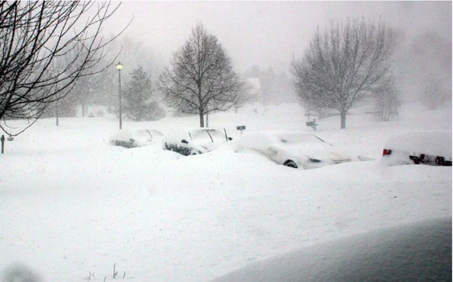
Grand Rapids had 6.1 inches on Feb. 1 and another 11.1 inches on Feb. 2. It was cold enough (the warmest temperature during the snowfall was 24 degrees) that the snow was light and fluffy.
Winds in West Michigan gusted to 40 to 50 mph. The wind blew the snow into drifts over 6 feet high.
Localized flooding occurred in northeastern Illinois, near the coast of Lake Michigan where strong winds brought storm surge and lakeshore flooding.
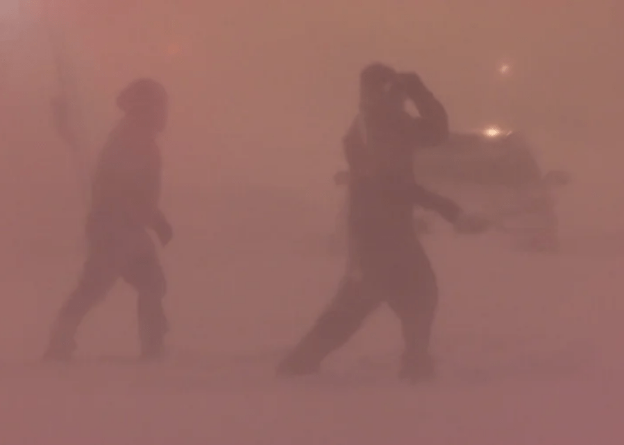
The storm was well forecast – much better foredcast than the blizzards we had on January 26, 967 and on January 26, 1978. I remember talking about a possible blizzard five days before the event. The National Weather Service did an excellent job with timely watches and warnings and people headed the alerts. The night of the 1st, all five Storm Team 8 meteorologists were in the Tracking Center at 3 a.m.

The counties colored red on the map above were under a Blizzard Warning, the counties in pink were under a Winter Storm Warning.
All schools and many businesses were closed. Universities that closed due to the snow include Western Michigan University, Kendall College of Art and Design, Grand Valley State University, Michigan State University, University of Michigan-Flint, University of Michigan-Dearborn, Wayne State University and Central Michigan University.
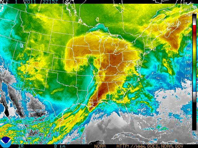
The heaviest snow fell in a band from New Mexico across Oklahoma, through much of Missouri and Illinois, into southern Michigan and finally into Ontario, Canada.
Chicago recorded 21.2 inches of new snow, the third-highest storm total in Chicago history.
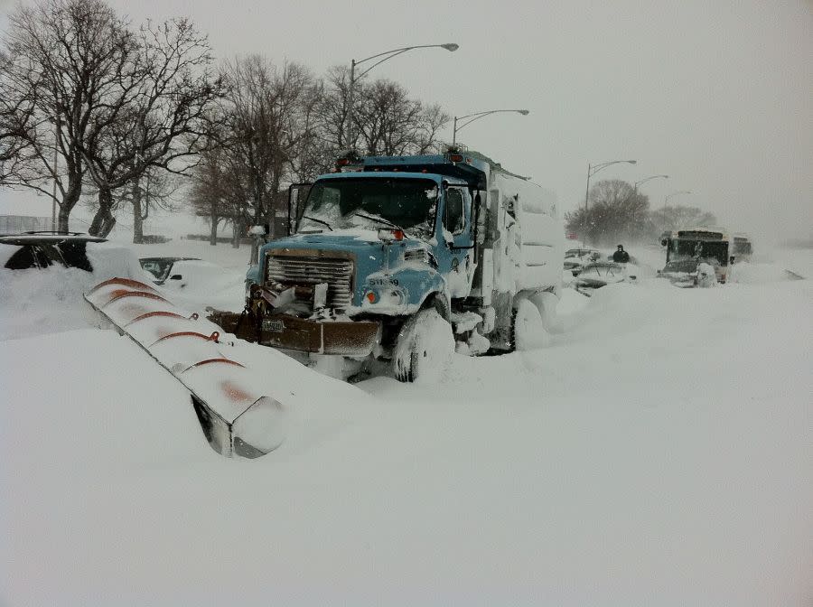
Wind gusts of 60 to 70 mph coming off Lake Michigan created huge drifts and spray came across Lakeshore Drive that froze the snow into ice. Hundreds of people were trapped in their vehicles and in CTA buses just on Lakeshore Drive. The city of Chicago was unable to keep track of the license plates for each vehicle, which led to complaints from many drivers and by the time they located their vehicles, many were unable to retrieve them from the lots because they were parked bumper-to-bumper.
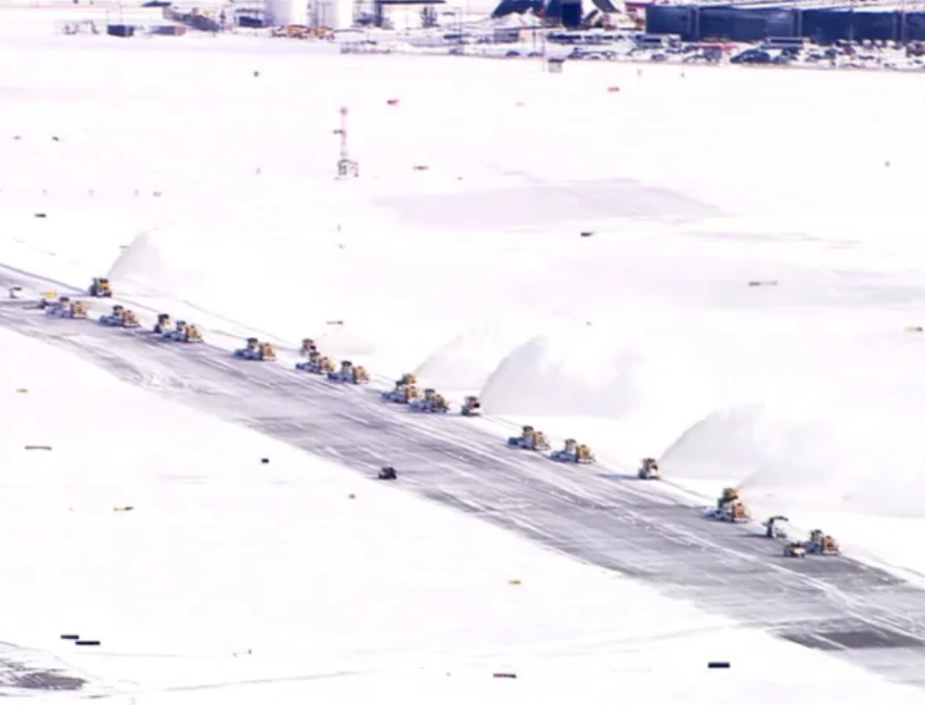
Some 1,300 flights were canceled at O’Hare and Midway airports. Snowfall reached 4 inches per hour in northern Illinois.
The temperature fell to zero on the morning of Feb. 3. Snowfall in Grand Rapids totaled 22.6 inches from Feb. 1 through Feb. 12.
Then there was a pattern change that saw the temperature rise to the mid-50s on Feb. 17 and 18. The snow all melted. Then winter returned with another 15.6 inches of snow from February 20th to the 28th. Snowfall for the month was 38.2 inches. Then the snow pretty well ended. Grand Rapids had only 1.2 inches of snowfall in March and 1.9 inches in April. (pics. from WGN).
Northern Mexico suffered widespread infrastructure damage from the storm and several weather-related deaths. In Chihuahua City, the temperature dropped to −18 degrees Celsius (−1 degrees Fahrenheit). In Monterrey, Nuevo León’s capital city, the cold air killed many trees and other types of tropical plants.

Note that the three big blizzards in West Michigan all occurred over an 8-day period from January 26th to February 2nd.
For the latest news, weather, sports, and streaming video, head to WOODTV.com.

