As remnants of Hurricane Hilary linger, Utah could see rain from another tropical storm later this week
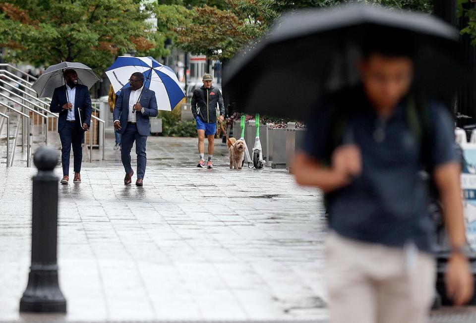
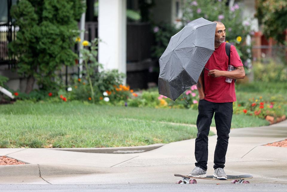
As Utah continues to see rain in the wake of Hurricane Hilary, another storm that made landfall in Texas Tuesday could dump even more moisture on the Beehive State later this week.
Tropical Storm Harold brought strong wind and rain to south Texas, with the center of the storm hitting the coast at about 10 a.m. Although it’s too early to tell exactly what the impact will be in Utah, by Thursday it could start to leave its mark on the Mountain West.
“It’s extremely uncommon. It’s not entirely uncommon to be dealing with remnants of tropical moisture. ... But to have impacts in a matter of days from two separate tropical systems from two separate basins is quite rare,” said Monica Traphagen, senior meteorologist with the National Weather Service in Salt Lake City.
By Tuesday afternoon, Harold resulted in over 3 inches of rain, 60 mph wind gusts and coastal flooding that rose roughly 3 feet above normal tides in the Corpus Christi area, according to the National Weather Service. It will weaken as it moves inland, but the National Weather Service says it will likely dump rain on parts of Colorado and possibly Utah.

“Where it will go remains uncertain, but that would be Thursday, and the greatest impacts will be over southern Utah,” Traphagen said.
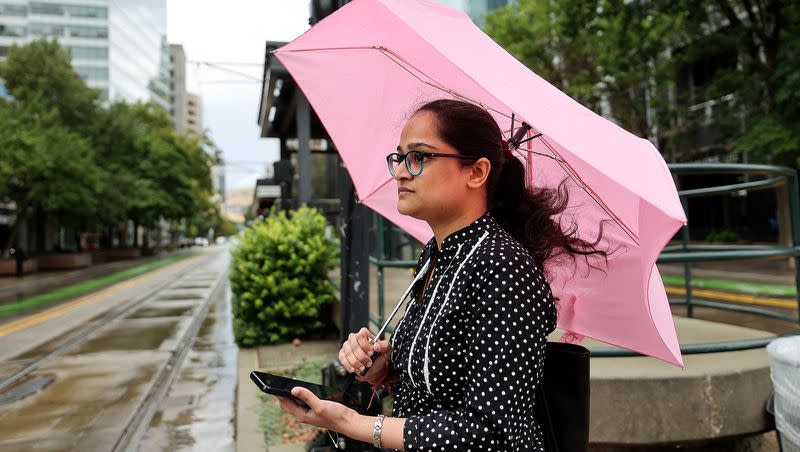
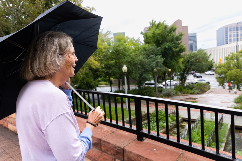
That means the unusually rainy August will continue. The Salt Lake City International Airport has seen 2.42 inches of rain so far this month — the average for that same timeframe is .37 inches. August 2022, which many will remember as abnormally cold and wet, had about 1.13 inches by this time.
Currently, there’s a low pressure system to the west of Salt Lake City, high pressure to the east and a big swath of moisture across western Utah, through Arizona and down into Mexico originating from the Pacific Ocean.
“We’re going to have at least some further showers and thunderstorms through the week. And any storms that develop are going to be capable of producing very heavy rainfall,” said Traphagen.
The Storm Prediction Center also says there’s a 2% chance of a tornado along the I-15 corridor Tuesday, stemming from the Idaho-Utah border all the way to St. George.
You may have seen an image floating around about the low tornado risk for tomorrow (Tuesday), as seen below. What does this mean and how will it impact you? Read more⬇ (1/3) #utwx pic.twitter.com/OfpJHwlIqx
— NWS Salt Lake City (@NWSSaltLakeCity) August 21, 2023
“It’s a slight, slight chance,” said Traphagen.
The National Weather Service says flooding is probable in four of the state’s five national parks, and possible in Arches National Park. Parts of southern Utah are on a flood watch, which will likely be in effect for much of the week.
A watch means conditions are unusually ripe for flash flooding — a warning means flooding is either imminent or occurring.
“If you’ve got outdoor plans that will lead you to southern Utah, particularly in those slot canyons, you may want to rethink those because it does not take very much rain from a thunderstorm to cause trouble in a hurry,” said Traphagen.
Although it’s the southern reaches of the state that are on a flood watch, northern Utah is “not out of the woods,” Traphagen said. Residents should be cautious near streams and rivers, stay out of normally dry washes, and follow the saying “turn around, don’t drown.” It only takes 6 inches of water to move a car — a foot of water can push a car into the wash, a potentially fatal situation that could require a rescue.
There is an increased risk of flash flooding for southern Utah National Parks and recreation areas. Make sure to check in with local visitor centers or ranger stations before heading out and have a plan if threatening weather approaches. More at: https://t.co/7kgSJIR7mF #utwx pic.twitter.com/wQKic3B5BZ
— NWS Salt Lake City (@NWSSaltLakeCity) August 22, 2023

