We Might Have Been Looking for MH370 In the Wrong Place This Whole Time
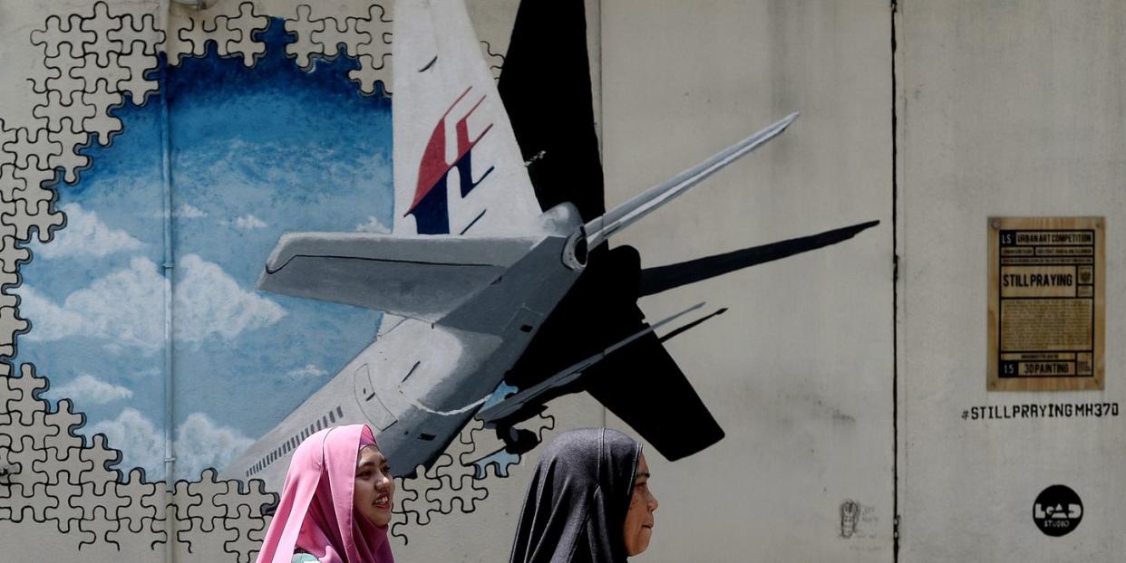
The 2014 disappearance of Malaysia Airlines Flight MH370, which vanished from radar not long after embarking on a routine journey to Beijing from Kuala Lumpur, has proved one of the most confounding mysteries in the history of aviation.
Believed to have plummeted into the Indian Ocean, the flight has been the subject of two exhaustive search operations which have yielded fleeting returns of the wreckage. A sweep of 112,000 square kilometers of deep ocean between southern Indonesia and western Australia concluded earlier this year. A second search coordinated by authorities from Indonesia, China and Australia was called off in January, 2017, after amassing a $151 million bill.
Prior searches have been fruitless, but the answer to finding the wayward plane that presumably carried 239 passengers to their deaths might be buried in a mathematical model, rather than the waters that have already been searched. Martin Kristensen, a researcher at Denmark's Aarhus University, thinks he may have cracked the seemingly impossible code, drawing on data from seven "handshake" signals interchanged by the plane and a lonely satellite hovering above the Indian Ocean.
Kristensen's hypothesis uses math to ask a familiar question: What if investigators have been looking in the wrong place the whole time?
Flight MH370 lost radio contact when its transponders and communication systems went dark, seemingly voluntarily, over the South China Sea about 40 minutes after takeoff. Then, the plane diverted from its mandated flight path, veering east towards India and the Andaman Sea. Then, it vanished from radar entirely.
Faint communication was established, however, when the plane's Satellite Data Unit (SDU) touched base with Inmarsat 3F1, a satellite looming over the West Maldives. The aircraft and satellite interchanged seven times during the ensuing six hours, registering what are called "handshakes" in aviation parlance, beaming signals to a control room on the ground.
Those fleeting interactions have been central to investigations. Investigators have cited data drawn from the Burst Timing Offset (BTO)-the distance between the plane and satellite at any given time-to indicate where it might have met its fate. Authorities have used this method to plot circles around the plane's trajectory at the time of each handshake-a kind of net believed to encompass where on the globe the plane might have plunged.
Investigators have also cited the Doppler shift, or changes in the frequency of radio waves between the satellite and plane during each handshake. This data also serves as a clue: By tracking the Doppler shifts, investigators can glean the plane's velocity relative to the largely immobile satellite, which might indicate the exact stretch of ocean it glided over before crashing.
Citing the Doppler shift and BTO doesn't completely rectify the puzzle-there's a multitude of outcomes: Identical Doppler shifts can be produced by objects moving in different directions-but Kristensen managed to combine all the probabilities for MH370's descent by using a single mathematical model.
Kristensen's model has yielded four possible outcomes for the location of the crash. The first two, over mainland India and China, are easily dismissed, given that mobile phones carried by passengers would have tried to initiate contact with cellular networks, and air traffic controllers could have easily tracked the plane's coordinates.
The third result pinpoints a swath of the Indian Ocean that's so far returned nothing.
Alternatively, the report states:
“Our best solution leads to an entirely different location agreeing with other data from debris, acoustics and an eyewitness report, providing a clear conclusion where to find the plane."
That location is off the coast of Christmas Island, in the south Indian Ocean. Based off a slew of variables both math-related and otherwise, Kristensen says: "The probability of finding the plane there is above 90 percent."
For one thing, he cites barnacles found on one piece of wreckage as consistent with waters off the coast of Indonesia that merge with colder waters outside western Australia. He also points to an eye-witness account from a fishing boat claiming to have seen the plane flying low off the coast of Indonesia the night it crashed. This would comport with the theory that the plane took a U-turn after taking off on its projected northern route towards Vietnam, flying back south toward Indonesia.
Then, in an unforeseen brush with conspiracy, Kristensen's report discusses the pilots of the plane, and raises the possibility that the whole disaster could have been a calculated plot. Since turbulent weather systems occasionally scramble satellite detection around Christmas Island, Kristensen says the location could have served as fodder for a nefarious plot:
"Most likely the perpetrator(s) also knew about the handshakes and deliberately directed and timed the flight to get close to the worst possible mathematical data-entanglement with satellite movement through spatial correlation, making it almost impossible to find the plane because this allows for a multitude of solutions with similar fitting quality."
But like basically everything concerning MH370, the truth is surely harder to come by.
Source: MIT Technology Review, News Australia
('You Might Also Like',)

