Ridge to Rivers trails: What to know about hikes, etiquette, rules for dogs and more
Explore Boise: Sign up here for our newsletter on what to eat, drink, see and do.
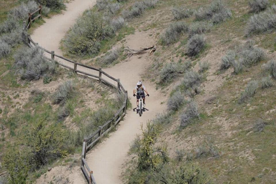
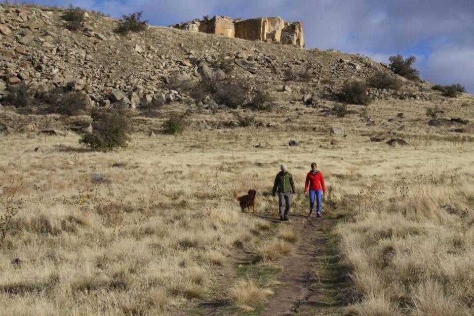
The trails that wind through the Boise Foothills are a boon for outdoors lovers who want to quickly leave the urban landscape to escape into the natural world. There you’ll find a broad swath of habitats, from riparian woodlands to sandy red cliffs where great horned owls nest.
Ridge to Rivers maintains this network of trails. Here’s what newcomers and longtime users should know about the organization and how to use this Idaho treasure.
No. 1: Ridge to Rivers
In the 1980s, no one managed the trails, and it was difficult to know whether you were on private or public land while using a trail. Then, in 1992, several public land agencies founded Ridge to Rivers. They work with landowners and the public to maintain the system.
At that time, a group of trail users, land activists and organizations, such as the Boise Front Coalition, took concerns to the city of Boise and the Bureau of Land Management, which owns much of the Foothills land.
The agency oversaw just 90 miles of trails at the time. Today, it manages more than 210 miles of trails.
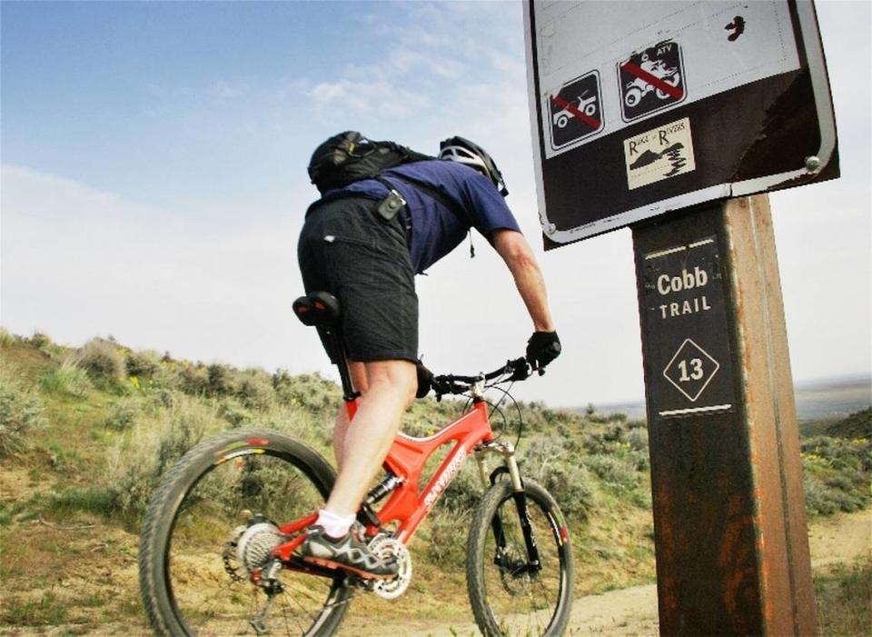
No. 2: Trail etiquette
Most of Ridge to Rivers’ trails are used by hikers, mountain bikers, horseback riders, people with dogs and more. The key to all these groups getting along is following trail etiquette, said David Gordon, manager of the Ridge to Rivers trail system.
“You’re on a shared trail system,” he said. “So no matter what, everyone has a right to be there. So be friendly. All the other etiquette messages fall in line if you accept that.”
The message behind Ridge to Rivers’ Happy Trails pledge encourages users to be friendly and kind to those they encounter.
5 rules for etiquette
Stay on official marked trails. Going off degrades the habitat.
Don’t use wet, muddy trails. The sandstone soils are delicate.
Downhill cyclists must yield, with one foot on the ground, to uphill traffic.
All cyclists must yield, with one foot on the ground, to walkers, runners and people on horseback.
Check trail conditions on RidgetoRivers.org or its Facebook page before you head out.
Find more etiquette rules online.
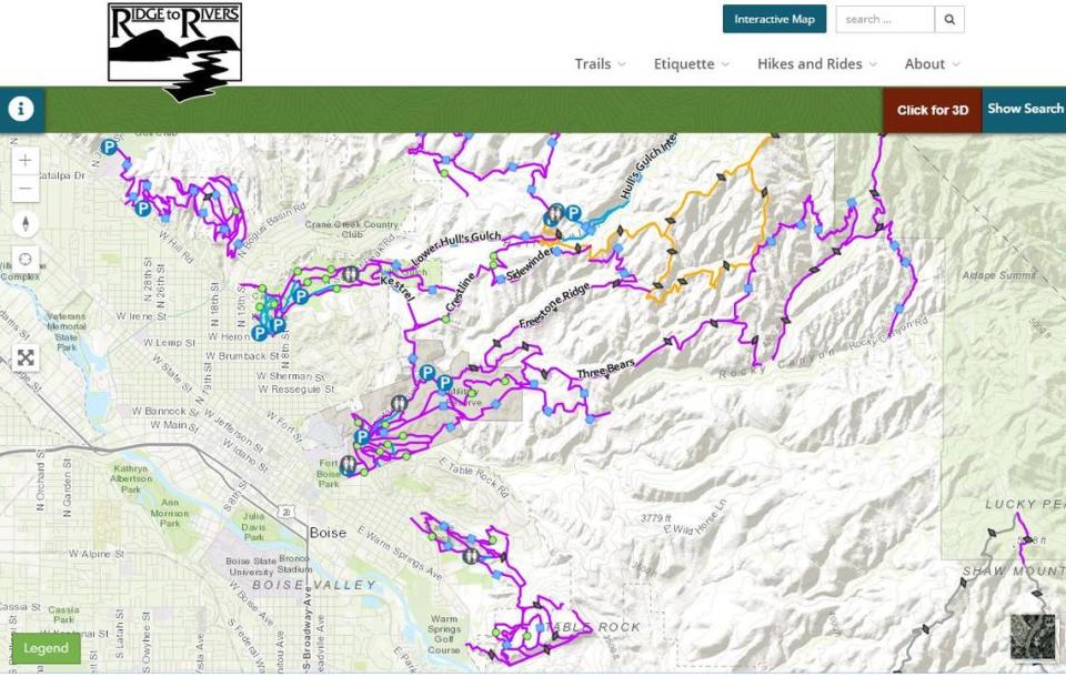
This new map lets you pick Foothills trails by difficulty and detailed 3D overviews
No. 3: Rules for dogs
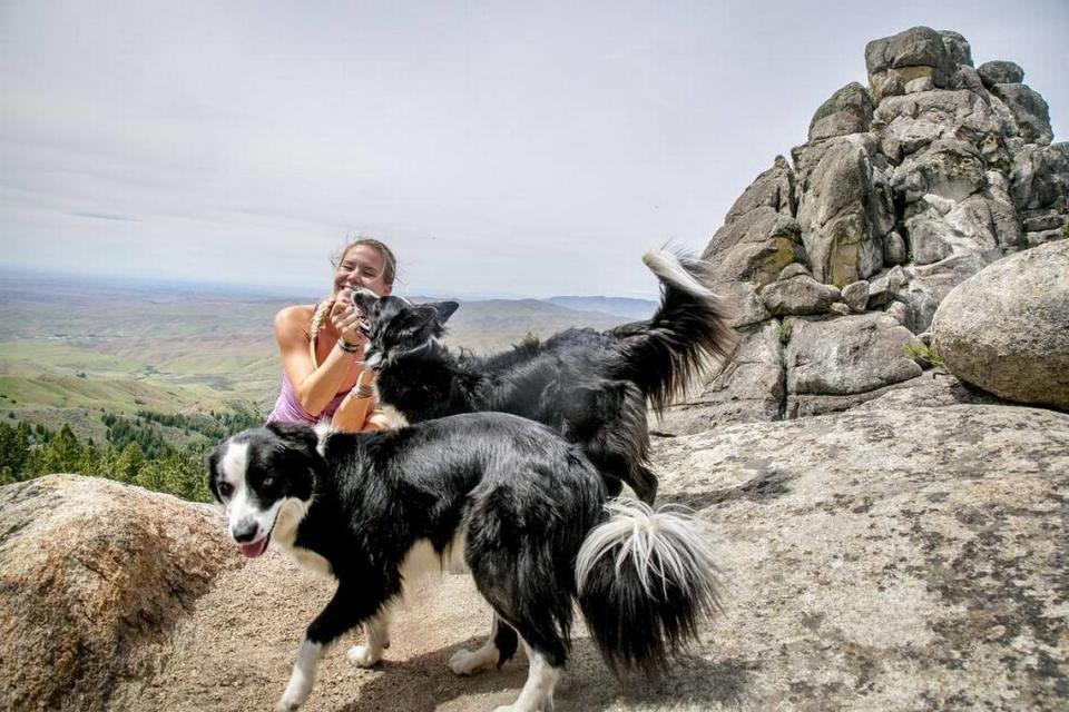
Boise’s trail system is incredibly dog-friendly, but Gordon reminds trail users that there are dog-specific rules in place to protect the habitat and other users.
“We don’t have any trails that are off-leash,” Gordon said. “All our trails are on-leash or what we call ‘controlled off-leash.’ ”
That means your pup can run free on many routes, but they must be no more than 30 feet from you and under voice command. If you call your dog once, they should come back to you, Gordon said.
Even if you plan to let your dog off-leash, you must carry a leash with you.
The vast majority of trails are controlled off-leash. The ones that require leashes are often high-traffic or near sensitive habitats that roaming dogs could disturb, Gordon said. That’s why it’s important to keep Fido close to you.
“A 6-foot leash is what’s required, not a retractable 30-foot leash,” Gordon added.
And no matter what, plan to carry waste bags with you — there are already hundreds of pounds of dog poop left behind in the Foothills each year.
No. 4: Plan your hike
There are dozens of trails in the Ridge to Rivers system, so it can be easy to feel overwhelmed. There are a few ways to get started and find routes at your ability level.
Ridge to Rivers has an interactive online trail map that lets users filter trails by difficulty, use and dog regulations. It also offers a 3D look at trails so you can assess the terrain before heading out.
Want additional background on a hike? Idaho Statesman Editor Chadd Cripe chronicled several of the Foothills trails during his time as an outdoors reporter. His introduction to the trail system is on our website, where you can search for specific trails and find photos and directions to the trailhead.
No. 5: Five trails to try
“There are a lot of really neat trails that provide different experiences,” Gordon said.
Table Rock, a challenging hike that takes users to a scenic overlook of the city. Gordon suggests the Table Rock Quarry trail, which goes around the back of the mountain, to avoid crowds on the main trail and get a different view of the trek.
The Face takes you across the face of Shafer Butte in the Bogus Basin area, where the Foothills give way to forests. Try this route when snow melts from the mountains.
Five Mile Gulch is “a very unique, shady trail,” according to Gordon. It follows a stream through mature cottonwoods and locust trees northeast of Boise.
Camel’s Back starts at Camel’s Back Park on 13th and Heron streets. From there you can ascend to the hump of the camel’s back. The view from the crest of the hill will take your breath away — or was that just the steep climb to the top? Try the trail at the back of the hill for a gentler slope, and explore the connecting trails into nearby Hulls Gulch.
Harrison Hollow trail leads to the heart of the Harrison Hollow Reserve, right off of Hill Road in the North End. Hike the whole trail to make a loop with Harrison Ridge, or head out on one of the other trails through the reserve.
A version of this story originally published in June 2019.
• • •
Boise's Neighborhood Guides
Over the next several months, the Idaho Statesman will be publishing neighborhood guides. Here are a few:
• Boise Bench Guide: The city's multicultural wonderland
• East Boise Guide: An old — but new — part of downtown
• Garden City Guide: The up-and-coming hot spot
• North End Guide: Boise's hiking and biking neighborhood
• North Meridian Guide: Idaho’s fastest-growing city
• Northwest Boise Guide: Exploring West State Street

