San Joaquin River to pose 'extreme danger' near Vernalis by midday Saturday
The San Joaquin River has reached flood stage and is projected to get to the "danger" stage by midday Saturday, according to county officials.
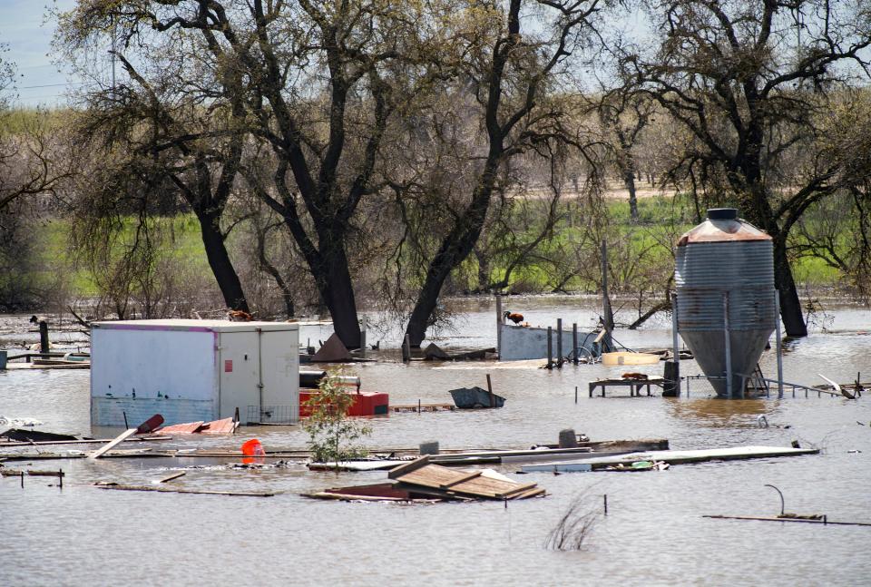
The elevated California Nevada River Forecast readings come from a portion of the San Joaquin River adjacent to San Joaquin City, a California Historic Landmark in south San Joaquin County. The town is as old as California itself — said to be a once-popular trading post rivaling Stockton, where pioneers and wagons crossed the San Joaquin River at Durham's Ferry. Approximately 800 people live in and around the historic town and the neighboring unincorporated community of Vernalis.
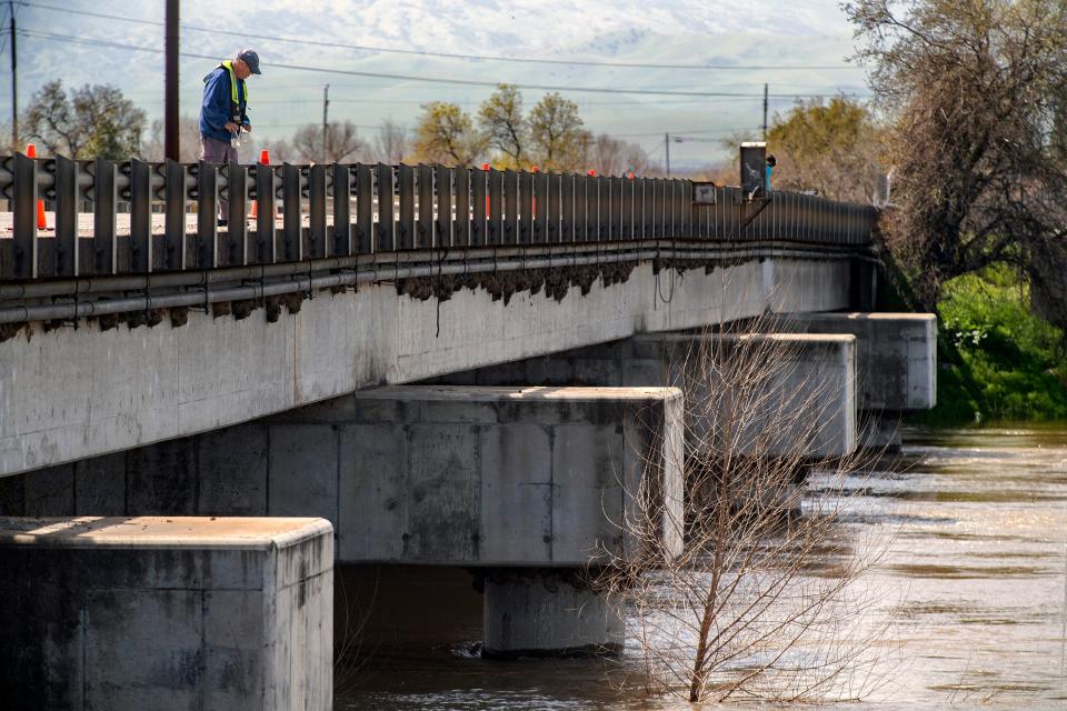
Danger stage is when a body of water flows at greater capacity than the maximum the protecting infrastructure was designed to hold, according to the National Weather Service, where there is "extreme danger with threat of significant hazard to life and property in the event of a levee failure."
An evacuation warning was issued Thursday at 3 p.m. for 13 homes near Airport Court, south of Manteca. All residents have been notified and are in communication with emergency services, County spokesperson Elisa Bubak said. No additional evacuation warnings or orders were issued as of Friday afternoon.
UCLA climate scientist Daniel Swain tweeted that the elevation to "danger" stage does not necessarily mean there will be severe flooding. Still, the likelihood of dangerous levee failures will grow with the increasing stress on levees and the time high flows persist.
As of Friday afternoon, The San Joaquin River is projected to keep rising into the danger stage as far as California Nevada River Forecast Center projections read out into Wednesday. Swain said the risk could last weeks.
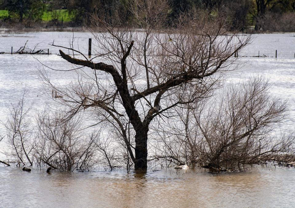
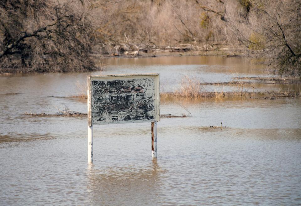
Levees on the already-stressed rivers that feed into the Delta will be tested in the coming weeks and months as Spring weather melts the massive snowpack not seen since 1982-83. Storms into the weekend and next week will continue to pile onto the snowpack.
The valley will see rain showers and moderate snow in the Sierras late Saturday into Sunday, according to the National Weather Service, before a stronger system will bring widespread rain to the valley and foothills with heavy snow in the Sierras through Wednesday, March 21.
For more storm and flood information, visit SJready.org.
This article originally appeared on The Record: San Joaquin River to pose 'extreme danger' near Vernalis

