Santa Rosa is using obsolete rainfall data in stormwater design | Guestview
Santa Rosa County has significant flooding problems and it’s getting worse. Its online GIS map has 1,774 “stormwater problem areas” featured and not all areas are identified, requiring updates.
In Santa Rosa County, 44% of Hurricane Sally property damages were non-FEMA flood hazard zones (Hurricane Sally Report by Healthy Gulf, Sept. 16, 2021). Multiple factors contribute to stark statistics which, matched with increasing storm frequency and severity, predict grave future outcomes - potentially deadly. “More Category 4 and Category 5 hurricanes slammed into the US over the past five years than in the previous 54…Last year’s season was sixth in a row of above-normal hurricane activity,” wrote the Panama City News Herald on May 17, 2022.
Under this obsolete guidance, stormwater facilities are under capacity as soon as they’re built. Remember, almost 50% of flood damage is outside of FEMA flood hazard zones. SRC is not alone. Escambia has been requesting NOAA Atlas 14 data but has not yet codified to NOAA-modernized standards. NOAA says the 100-year, 24-hour event storm is 2.76 inches more (16.2 inches) than FDOT’s archived 13.44 inch reference, specified in SRC Land Development Code 4.04.01(1)(3).
A 100-year storm is an event with a 1% chance of occurring in any given year. Our region has experienced five 100-year storms in the last 10 years. SRC has experienced 14 storm events exceeding a 100-year storm since June of 1989. All but the April 2014 flood event are included in NOAA’s Atlas 14 data. In the last 34 years, SRC has experienced rainfall events that exceed a 100-year storm event every 2.4 years. When will our next catastrophic flood event again occur? Who will flood?
Even NOAA Atlas 14 rainfall data doesn’t include the last 11 years of rainfall data, such as 22 to 26 inches in the April 2014 rain event, or Hurricane Sally’s torrential 22-inch rainfall. NOAA Atlas 14 is statistically more accurate than FDOT’s 1979 IDF rainfall data. Florida has experienced 16 significant rain events out of 52-plus tropical events since 2012.
More: Lack of impact fees, old rainfall data paint ominous future in Santa Rosa | Guestview
Many Panhandle municipalities have relied upon 1979 FDOT obsolete rainfall data, referenced as IDF (Intensity, Duration, Frequency) rainfall curves, found in FDOT’s 2023 Drainage Manual, Exhibit E. However, this standard is changing.
Florida Department of Transportation (FDOT) has specified two different rainfall data sets in their Drainage Design Manual since 2016. One precipitation data set published by the National Oceanic Atmospheric Administration (NOAA) is referenced as NOAA Atlas 14, and the other data set is referenced as FDOT IDF Zone Curves. While engineers have used FDOT Zone 1 IDF rainfall data in the Panhandle for stormwater designs, since 1979, as of June 22, 2023, FDOT has archived their IDF curves and marked “Not for use in Design.” Jennifer Green, state drainage engineer, reported FDOT now uses NOAA Atlas 14, and its 2024 Drainage Design Manual will only specify this one rainfall data set.
Precipitation trends have changed since 1979. It should be obvious that NOAA Atlas 14 rainfall data (with a date range of 1840 to 2012), and better yet, pending NOAA Atlas 15, to be released in 2026, will provide more accurate rainfall data sets to use in drainage and stormwater management designs. Yet Santa Rosa County has recently chosen to specify archived rainfall data in their Land Development Code (LDC) revisions, possibly jeopardizing eligibility for future federal grants if they require the use of NOAA’s modernized rainfall data. In March, it decided to utilize the more modernized NOAA Atlas 14 rainfall data set in the draft LDC. But why has this subsequently changed?
It appears a “developer-engineer professional” special-interest group has managed to influence staff and ultimately the Board of County Commissioners to continue to specify obsolete and archived rainfall data. This decision at the Sept. 18, 2023 Land Development Code workshop does not consider the relative flooding impacts to properties within our watersheds downgradient of new developments - a decision which will significantly impact citizens and their properties.
So, I ask again, why would SRC not align its LDC with the PRECIP Act, the FLOODS Act and the federal government’s plan to modernize rainfall data? The BCC must reconsider using NOAA Atlas 14 rainfall data at its Oct. 26 board meeting.
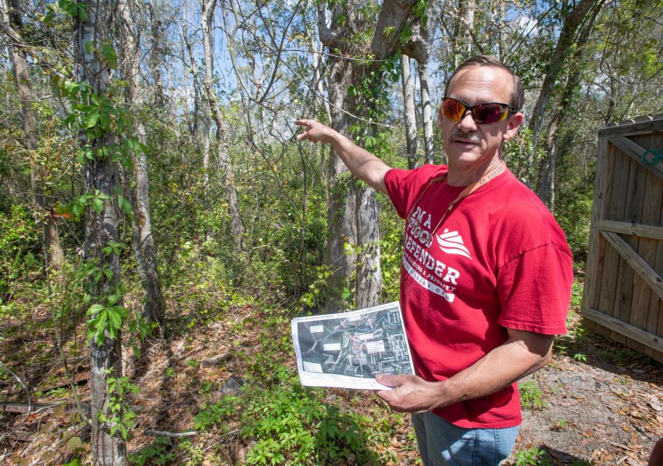
Chris Curb is a subject-matter technical advisor to Flood Defenders.org, a nonprofit, nonpartisan organization to assist flood-affected citizens advocate for better flood protection. He served 25 years with Escambia County, with seven years as Stormwater Engineering Manager. He is a Civil Engineering graduate of Auburn University. Contact him at cacurb@gmail.com or Facebook: Flood Defenders – Panhandle.
This article originally appeared on Pensacola News Journal: Santa Rosa is using obsolete rainfall data in stormwater design

