Sask. breaks and ties more warm temperature records
Saskatchewan saw 10 daily warm weather records broken and another one tied on Thursday.
According to data from Environment and Climate Change Canada (ECCC), Leader area tied for the highest temperature at 11.6 C, which beat its old record of 9.2 C set in 1999.
Swift Current matched that high and also broke its previous record of 7.6 C from 1999.
ECCC meteorologist Terri Lang said this December will probably end up being the warmest on record for the bulk of areas with testing stations in the province.
"I think that if we include the next week or the past week, I think the stats are going to be even higher when it comes to comparing December [to previous years]," said Lang.
Cities like Prince Albert have been recording temperatures for 138 years, and Swift Current has tracked the data for as long as 139 years.
Boxing Day similarly saw 10 warm weather records set or tied within Saskatchewan borders. Lang said there was also one record set on Dec. 27, in the Stony Rapids area.
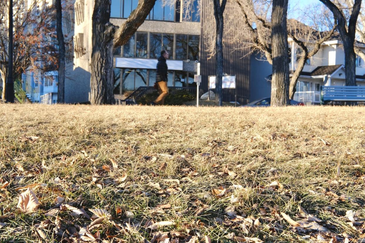
She said a lack of snow on the ground has played a role in the warm weather this month. Normally when the sun beams down in the winter months, "a lot of the heat is bounced" back into space, or the energy from the sun is "used" to melt snow or ice.
"When there's no snow, you're looking at bare fields," said Lang.
"Some of them are quite dark, so they're able to absorb the warmth of the sun and that's why we're able to get such warm temperatures at this time of year when there's no snow cover."
The percentage of light that bounces off a surface is called "albedo." Lang said snow has a very high albedo, bouncing about 90 per cent of energy.
Lang said there are a few warm days ahead still, but then there will be a "pattern change" where temperatures cool down to more seasonal numbers, with a better possibility of snow.
Here is a full list of warm weather records for Dec. 28 (with the previous records in brackets):
Assiniboia area: 9.3 C (7.8 C in 1999).
Broadview area: 3.9 C (3.3 C in 1943).
Coronach area: 9 C tied with record set in 1999.
Elbow area: 9.5 C (9.3 C in 1999).
Kindersley area: 10.2 C (6.1 C in 1997).
Leader area: 11.6 C (9.2 C in 1999).
Lucky Lake area 11.4 C (7.9 C in 1999).
Outlook area: 9.7 C (9 C in 1999).
Rosetown area: 10 C (7.1 C in 1999).
Swift Current area: 11.6 C (7.6 C in 1999).
Wynyard area: 5.5 C (4.6 C in 1999).

