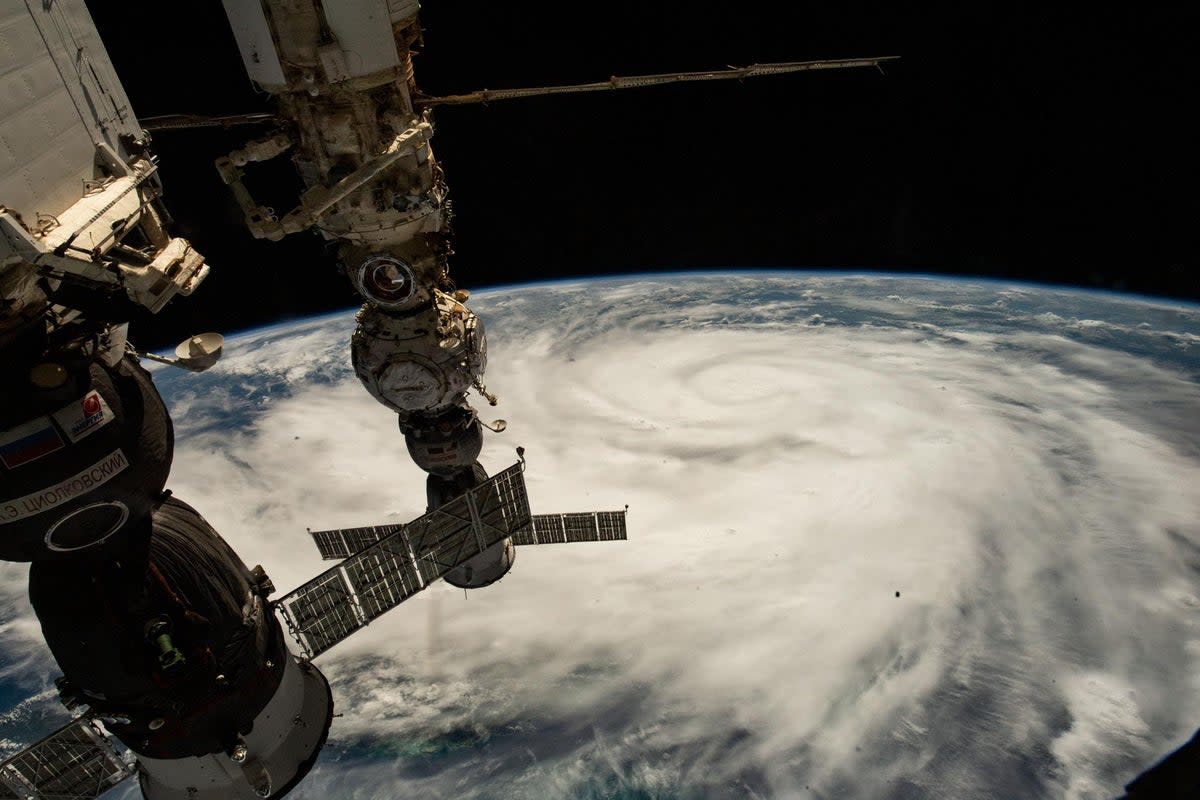
Satellite captures stunning view of Hurricane Ian from 22,000 miles away as storm slams into Florida
A US National Oceanic and Atmospheric Administration (Noaa) satellite has captured stunning imagery of the eye of Hurricane Ian as the massive storm slams into the Florida coast Wednesday afternoon.
The Noaa Satellites Twitter account shared a short video clip Wednesday afternoon featuring the dark eye of Hurricane Ian at the center of a massive, gray swirl of clouds that are periodically splashed by bursts of purple lightning.
As of 3am EDT Wednesday, Ian’s eye had grown to 35 miles in diameter.
The hurricane made landfall around 2.24pm EDT Wednesday near Cayo Costa Florida as a category 4 storm, with sustained wind gusts as high as 155mph.
The category 4 refers to the Saffir-Simpson hurricane wind scale, a five point scale that pairs ranges of wind speed with expected impact on the area a hurricane hits.
Category 4 storms have winds ranging from 130 to 156 miles per hour and will create “catastrophic” rather than merely “devastating” damage, according to the Noaa website.
“Well-built framed homes can sustain severe damage with loss of most of the roof structure and/or some exterior walls,” Noaa’s website reads. “Most trees will be snapped or uprooted and power poles downed.”
.@NOAA’s #GOESEast satellite captured this extraordinary imagery of #Hurricane #Ian making landfall near Cayo Costa, Florida this afternoon.
Latest: https://t.co/0wCH4mn6NI#FLwx https://t.co/FX10iDGu4H pic.twitter.com/01tbXjdgZh— NOAA Satellites (@NOAASatellites) September 28, 2022
Noaa’s Hurricane Center closely monitors tropical storms and hurricanes, and has been studying Ian using both aircraft reconnaissance and the administration’s Geostationary Operational Environmental Satellite, or Goes, which keeps a steady watch on the Eastern US and the Atlantic Ocean. The Goes-East satellite maintains a constant position over the Earth at 75.2 degrees West longitude by flying in a geosynchronous orbit 22,300 miles above the Earth, so that the satellite orbits the Earth at the same speed the planet spins on its axis.
Noaa will maintain constant satellite coverage of Hurricane Ian as it makes landfall and eventually dissipates into storm systems that may move to the Northeast. You can see the current satellite image of the storm on Noaa’s website.

