Saturday forecast: Dense fog advisory extended to midnight, flood watches near rivers and creeks, officials say
National Weather Service officials extended a dense fog advisory Saturday until midnight for portions of central, east central, north central and northeast Illinois, and northwest Indiana.
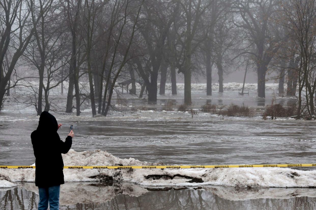
Officials also issued a flood watch until Monday morning for portions of northern and central Illinois, and northwest Indiana, saying rivers, creeks and streams may rise out of their banks due to snowmelt and runoff from rain.
The Will County Emergency Management Agency said water levels on the Kankakee River significantly reduced Saturday after ice jams cleared between Wilmington and the Des Plaines River confluence. They recorded water levels of 6.89 feet at 10:45 a.m.
Wilmington experienced “life-threatening” flash floods Friday morning, with officials reporting that the river rose three feet in an hour overnight due to an ice jam.
All major roads in Wilmington reopened, although the city issued a “boil order” for people using the city’s water service. Any water used for drinking or cooking should be boiled for five minutes before use, the emergency management agency said.
A flood watch means flooding is possible but not certain. Residents along waterways should monitor the latest forecast and be prepared to take action if flooding develops, the weather service said.
Saturday’s fog is effecting visibility decreasing to one quarter of a mile or less. Officials caution drivers to slow down, use headlights and leave plenty of distance between vehicles on road ways.
Conditions at Chicago Midway Airport at 4 p.m. are fog at 41 degrees.

