This is what scientists found when they peered deep beneath the surface of Mars

New data from the exploration of Mars has provided more evidence of Mars’ volcanic past.
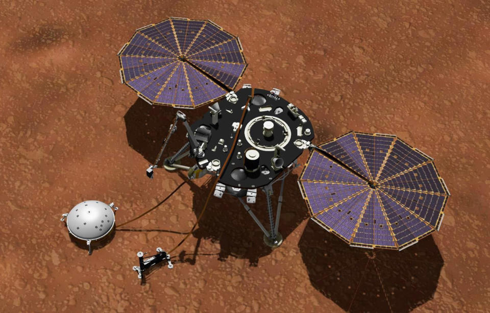
The new study, which was published in Nature Communications, details how scientists used NARA’s InSight Mars Lander to record vibrations in the ground. This allowed them to map roughly 600 feet beneath the surface of the planet. Here they discovered data that appears to note the existence of stacks of ancient, dried lava flows.
Today's Top Deals
These are the best Black Friday deals everyone is buying in 2021
Brand new AirPods Pro with MagSafe have a massive Black Friday discount you won't believe
Crazy deals on air fryers, nonstick cookware, Instant Pots, and more in this Black Friday blowout!
Don't Miss: Friday’s top deals: 200+ crazy Amazon Black Friday deals you won’t believe
Scientists map below the surface in latest Mars exploration
NASA/JPL
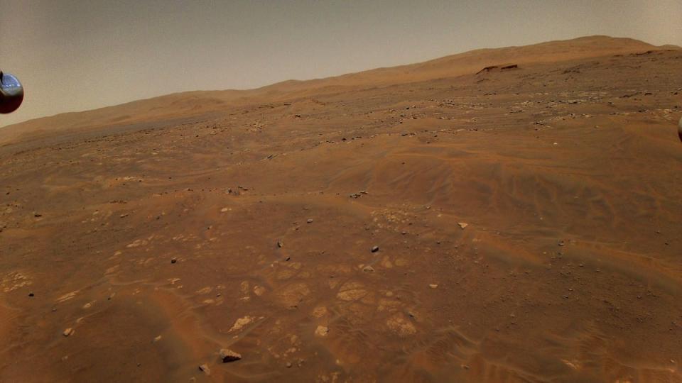
The latest bit of exploration on the Red Planet has led scientists to make some interesting discoveries. The volcanic history of Mars has been a topic of conversation for as long as we’ve explored the planet. In fact, Mars is home to Olympus Mons, the largest known volcano in the solar system. The Lowell Observation says the volcano is more than twice the height of Mount Everest, at roughly 72,000 feet fall.
While that history has been known, new evidence to support it has been discovered beneath the surface of the planet. Scientists used a method called Rayleigh waves in this latest study. Rayleigh waves aren’t a new area of study. Scientists often use them on Earth, and they can reveal details about what is beneath the surface they travel along. Still, it’s intriguing to see them used in Mars exploration.
Using these Rayleigh waves–and the InSight Mars Lander, which NASA sent to the planet in 2018—scientists were able to map below the surface of the planet. Within that 600-foot area, they found several layers of lava, as well as a sedimentary layer of rock wedged beneath them.
How they used Rayleigh waves to explore below the surface
NASA/JPL-Caltech
On Earth, researchers use vibrations in the ground caused by natural factors like the activity of oceans and humanity. In the exploration of Mars, though, those factors aren’t present. Instead, the researchers used vibrations caused by the wind.
They used the seismometer from the InSight lander to detect the vibrations. Afterward, they used that data to map roughly 656 feet below the surface. Several meters down, they found evidence that a sedimentary layer of rock was buried between volcanic rocks. The researchers say that studying the layers further could help create a timeline of the events. That could help tie things together even more.
What these findings ultimately mean is still unclear. Sedimentary rock plays a vital part in the make-up of the Earth, so it is interesting to see a layer of it wedged so close to the surface of the Red Planet. Does it prove that there was once life on mars? Probably not. But, by studying it further, scientists could possibly determine more about the planet, including a timeline of when the last volcanic eruption happened.

