Scientists Use Satellites to Measure Tallest Volcanic Plume Ever Recorded
Volcanic eruptions can create serious impacts on human activity and climatic behavior, as ash, gases, and water are lofted high into the sky. While most eruptions are relatively shallow in the atmosphere, the plume generated by the incredibly powerful January 2022 eruption of Tonga’s Hunga Tonga-Hunga Ha’apai volcano has been crowned the tallest volcanic plume on record.
Researchers from the Oxford University and Munich University of Applied Sciences used a novel satellite method that relies on the parallax effect to determine the altitude of the January eruption. They found that the plume it generated reached an estimated 35 miles (57 kilometers) into the atmosphere, with some of the ash potentially reaching another half kilometer up. The researchers also claim that the plume is the first to be observed entering Earth’s mesosphere, which begins approximately 31 miles (50 kilometers) above the surface of the planet. The team’s paper was published in Science.
Read more
Typically, the height of volcanic plumes is gauged by measuring the temperature at the top of the cloud using infrared satellites. As the top of the cloud reaches into the troposphere, where temperature drops with altitude, the height of the cloud could be determined based on the temperature at the top as it cools. In the stratosphere, however, temperature increases with altitude, meaning that the already-hot volcanic plume’s temperature—and therefore its height—cannot be accurately estimated.
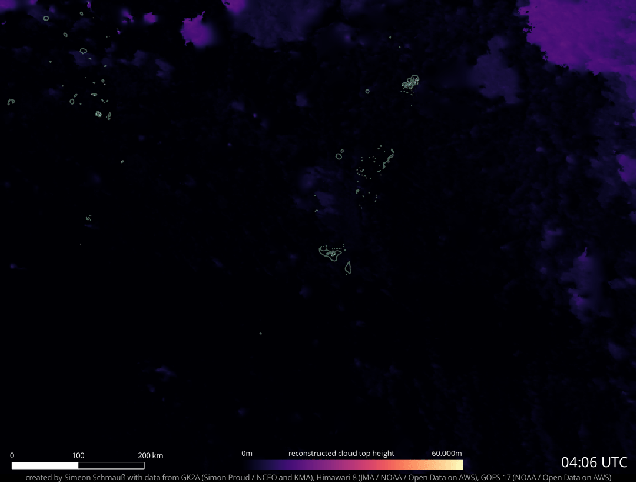
Since the team couldn’t rely on temperature readings from a single satellite, the used a new method of observing the plume’s height based on data from multiple satellites. Observing a high-altitude cloud from a singular satellite will distort the actual height of the cloud, and causing a false estimate. Instead, three geostationary satellites overlooking Tonga provided the data needed for the team’s calculations, with help from the parallax effect: the phenomenon in which viewing an object from different vantage points makes it appear to change positions. You can experience this for yourself by holding your thumb in front of your face and viewing it with only one eye at a time; your thumb will appear to ‘hop’ against the background.
“It’s an extraordinary result as we have never seen a cloud of any type this tall before,” said lead author Simon Proud in a press release from the University of Oxford. “Furthermore, the ability to estimate the height in the way we did (using the parallax method) is only possible now that we have good satellite coverage. It wouldn’t have been possible a decade or so ago.”
According to Proud and his colleagues, Hunga Tonga-Hunga Ha’apai’s plume reached an altitude of 15.5 miles (25 kilometers) 15 minutes after eruption and 24.8 miles (40 kilometers) 10 minutes later. Thirty minutes after the eruption, the team observed a dome of ash beginning 21 miles (34 kilometers) above the surface and reaching to the plume’s record-breaking apex, with an estimated diameter of 56 miles (90 kilometers).
The researchers are looking forward to using this observation method to create an automated workflow for computing volcanic plume heights with multiple satellites, which could create a detailed dataset for volcanologists and atmospheric scientists to use. Even still, lingering questions as to how the plume to reach so high and what effects it may have had on our climate are still to be answered.
More from Gizmodo
The Best Shortcuts On Mac: Snap Windows, Text to Speech, and More
How to Delete Your Twitter Account If Elon Musk Was Your Last Straw
Sign up for Gizmodo's Newsletter. For the latest news, Facebook, Twitter and Instagram.
