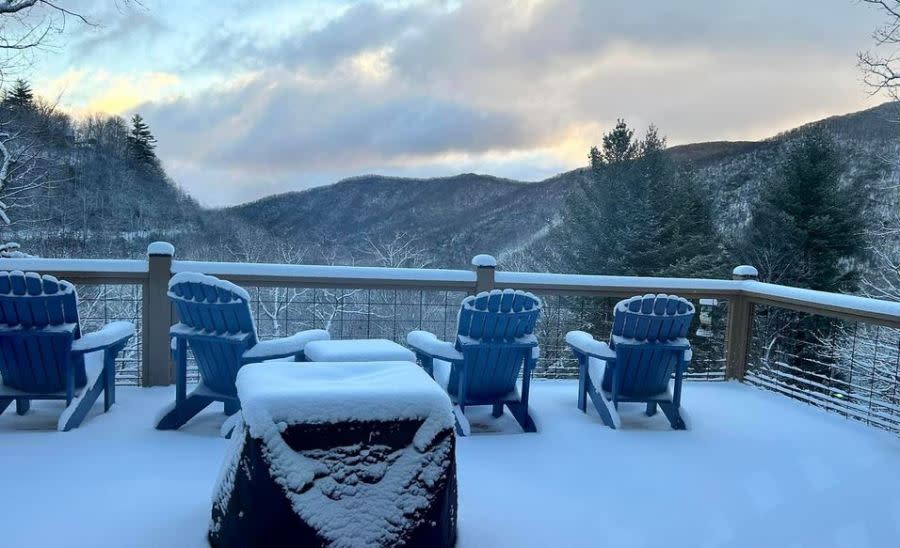
Several inches of snow blanket North Carolina mountains; 3+ more inches starting Tuesday
RALEIGH, N.C. (WNCN) — As a snow-filled winter continues in the North Carolina mountains, several inches of snow blanketed many areas by noon Monday — and more snow is on the way Tuesday night with 3 more inches possible.
All of the snow Sunday night and Monday came on top of 12 inches of snow just a week earlier.
The snowfall has contributed to more activity at various North Carolina ski resorts with around 42 inches of snow falling so far this season at Sugar Mountain Resort in Avery County.

The most snow recorded Sunday night and into Monday was near Maggie Valley in Haywood County. By just 8 a.m. the National Weather Service recorded 5 inches of snow. It’s possible more snow fell after 8 a.m. that has not yet been measured.
A mountain near Maggie Valley, Cataloochee Ski Area, has at least a base of 41 inches and all but one of 18 trails are open.
And after snow on Monday, more snow is headed for the mountains starting Tuesday night in some areas.
In Watauga County — home to Boone and Banner Elk — snow is likely to start after 10 p.m. Tuesday with up to 3.5 inches falling by noon Wednesday, according to the National Weather Service.
Ashe, Alleghany, and Watauga counties are forecast to receive snow starting Tuesday night, according to forecasters.
So far, there are no winter storm watches or warnings issued by the weather service.
Below is a list of snow totals from the National Weather Service for Sunday night into Monday:
Location Amount Time/Date 2 NE Maggie Valley 5.0 in 0800 AM 01/29 4 WSW Maggie Valley 3.0 in 0400 PM 01/28 2 NW Waynesville 2.5 in 0530 AM 01/29 1 WSW Banner Elk 2.3 in 0730 AM 01/29 Beech Mtn 2.0 in 0730 AM 01/29 Buladean 1.3 ESE 2.0 in 0800 AM 01/29 Flat Springs 1 E 1.8 in 0700 AM 01/29 5 SSW Burnsville 1.8 in 0800 AM 01/29 1 SE Buladean 1.4 in 0700 AM 01/29 15 NNE Marshall 1.1 in 0700 AM 01/29 5 NW Mount Mitchell State Pa 1.1 in 0800 AM 01/29 2 WSW Spring Creek 1.0 in 0900 AM 01/29 3 NE Spring Creek 1.0 in 0930 AM 01/29 2 ENE Maggie Valley 0.8 in 0700 AM 01/29 Weaverville 5.6 E 0.3 in 0700 AM 01/29 Jonas Ridge 1.4 S 0.3 in 0700 AM 01/29 Celo 2 S 0.2 in 0700 AM 01/29 3 SE Spring Creek 0.1 in 0700 AM 01/29 .
For the latest news, weather, sports, and streaming video, head to CBS17.com.

