See how Wednesday night’s rain storms flooded the West 7th corridor in Fort Worth

Tarrant, Dallas, Johnson and Ellis counties were under a flood advisory as a cold front pushed severe weather into the Dallas-Fort Worth area, according to the National Weather Service in Fort Worth.
The advisory was in effect until 1 a.m. Thursday in Tarrant and Dallas counties. Urban and small stream flooding caused by excessive rainfall occurred throughout the area.
Fort Worth police and firefighters responded to multiple calls of for water rescue Wednesday night, as well as calls to the fire department about downed power lines.
The weather service reported about 10 p.m. Wednesday that between 1 and 2 inches of rain have fallen around the advisory area, with additional rainfall amounts of 1 to 2 inches expected late Wednesday and into early Thursday.
National Weather Service radar showed the storms moving northeast.
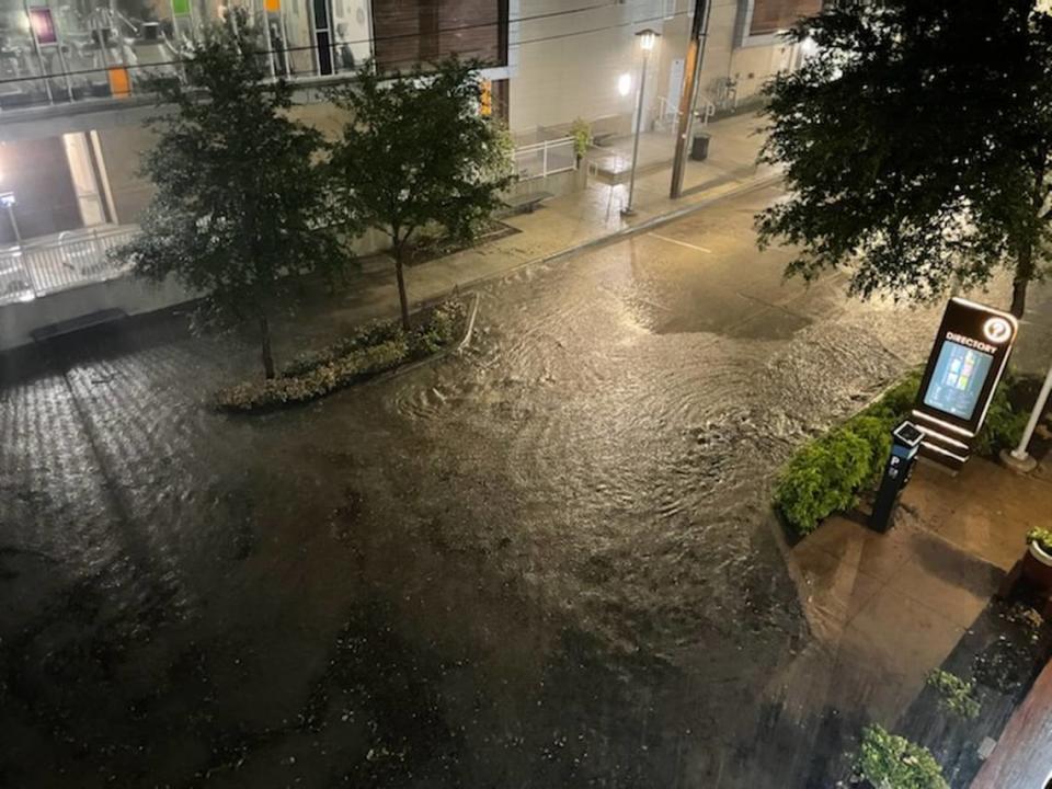
Lightning and rain reached downtown Fort Worth around 9:30 p.m. By 10 p.m., some streets were flooding.
Rain could pick up again Thursday with a 30% chance of showers and thunderstorms mainly before 4 p.m., according to the weather service.
It has gotten worse and will continue to do so on Crockett Street pic.twitter.com/QMooTMF9HU
— James Hartley ️ (@ByJamesHartley) August 18, 2022
Cooler temperatures also will prevail, with highs expected around 88 degrees Thursday.
After a warmup over the weekend with highs back in the mid-90s, another round of storms and cooler weather is expected next week. The weather service predicts a 70% chance of rain Monday followed by a 60% chance Tuesday as highs will top out in the mid-80s.
3-Day Storm Outlook
This map shows the 3-day weather outlook for storms by the National Weather Service's Storm Prediction Center. Sources: National Weather Service, Esri.
