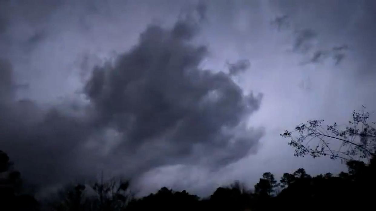
Severe weather to cover Mississippi into early morning. Tornadoes confirmed near Canton
Many in Mississippi are bracing for severe weather as a round of severe thunderstorms roll through the state tonight.
"All modes of severe weather are possible with these storms," said Daniel Lamb, a meteorologist with the National Weather Service in Jackson. "That will include damaging wind gusts, tornadoes and large hail."
Some severe thunderstorms have already begun moving through the southwest part of the state from central Louisiana, where communities have seen golf-ball-sized hail and strong winds that have downed trees and power lines.
"Right now, the majority of the activity, the more intense storms, has been east of I-55 so far," Lamb said. "We're expecting similar potential with these storms as they continue eastward across the state through the evening hours and into the early morning hours in eastern and southeastern Mississippi."
6:50 p.m.: Tornado confirmed in Simpson County
Another tornado was confirmed near the Pinola community, moving northeast at 35 mph, and the Oma community near Monticello, moving east at 40 p.m.
Both communities are in Simpson County.
The number of power outages has risen to approximately 12, 500 customers, mostly in Adams, Copiah, Simpson, Jefferson and Franklin counties
6:40 p.m.: Tornado warnings expanded
Tornado warnings have been issued for Neshoba and Leake counties until 7:30 p.m.
Tornado warnings also have been issued for Copiah, Jefferson Davis, Lawrence, Lincoln and Simpson counties until 7:30 p.m.
Power outages have risen to nearly 12,000 customers, with more than 7,000 outages in Copiah County alone.
6:30 p.m.: Power outage update
Around 7,755 customers are without power, mainly in Adams, Copiah, Jefferson and Franklin counties.
Trees have been reported down on Magnolia Street in Hazlehurst. Minor damage to a gas station at U.S. 51 and Mississippi 28 also was reported.
A tornado-producing storm was spotted near Sontag, about 12 miles southeast of Hazlehurst, moving east at 40 mph.
6:25 p.m.: Tornado warnings issued for Copiah, Simpson counties
Copiah and Simpson counties are under a tornado warning until 7:30 p.m.
A severe storm, moving east with winds of 60 mph, was spotted near Hazlehurst at 6:22 p.m. Hail also was reported.
Wind gusts are blowing debris around and a tree was reported down on Mississippi 28 near Jackson Street.
6:20 p.m.: Power outages in southwest Mississippi
Power is out for roughly 4,500 customers in Adams, Jefferson and Franklin counties where the severe thunderstorms passed through earlier this evening.
6:10 p.m.: Tornadoes confirmed near Canton
A tornado has been confirmed about 15 miles east of Canton in the Farmhaven community, NWS officials reported. The tornado is moving east at 40 mph.
Another tornado was confirmed near the Sharon community about 8 miles east of Canton, moving northeast at 40 mph.
Quarter-sized hail also was spotted in the area.
6 p.m.: Tornado warning issued
Parts of central Mississippi are under a tornado warning until 6:45 p.m., including Rankin, Madison and Scott counties.
A severe thunderstorm capable of producing a tornado was spotted over Gluckstadt, moving east at 40 mph.
5:45 p.m.: Tornado watch continues for 29 counties
A tornado watch will remain in effect until 11 p.m. for 29 counties in Mississippi.
Those counties include Adams, Attala, Choctaw, Claiborne, Copiah, Covington, Forrest, Franklin, Hinds, Holmes, Jasper, Jefferson, Jefferson Davis, Jones, Lamar, Lawrence, Leake, Lincoln, Madison, Marion, Neshoba, Newton, Rankin, Scott, Simpson, Smith, Warren, Winston and Yazoo,
This article originally appeared on Hattiesburg American: Severe weather in Mississippi, tornadoes possible

