Severe weather with potential for strong tornadoes slated for Bay; school canceled Tuesday
PANAMA CITY — Severe weather is slated to bring rain, high winds and possibly even strong tornadoes to Bay County over the next day.
In an email on Monday, Mark McQueen, superintendent of Bay District Schools, said schools throughout the area will be closed on Tuesday because of the weather. He expects for them to reopen on Wednesday; however, he will wait until after the storm has passed to make that decision.
"The safety of our students and staff is our No. 1 priority, and so after carefully monitoring the storm's track and consulting with emergency management officials, I have made the difficult decision to cancel school," McQueen wrote. "I sincerely hope that our community makes it through the impending severe weather without any significant damage."
Florida State University Panama City also canceled classed on Tuesday, and Gulf Coast State College has delayed the start of classes until 11 a.m.
The Russell-Fields Pier and M.B. Miller Pier both will close at midnight and reopen at noon Tuesday.
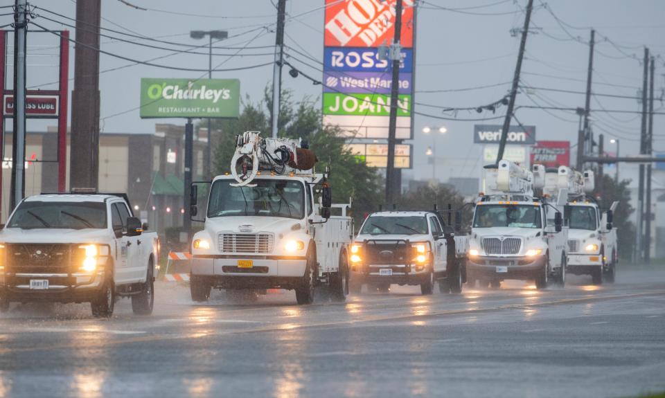
According to Israel Gonzalez, a meteorologist for the National Weather Service in Tallahassee, two rounds of severe weather are forecast to soon hit Bay County. The first might occur at about midnight, with the second, and worst, scheduled to begin about 6 a.m. Tuesday.
Both will pose threats of rains, strong winds and tornadoes. The second round, however, is "likely to be accompanied by widespread, damaging to potentially destructive winds and embedded tornadoes ... some of which could be strong."
The storm might bring peak sustained winds of 30-40 mph and gusts up to 45-55 mph.
"I want to emphasize that: There is potential for tornadoes to be strong," Gonzalez said. "They could be EF-2 strength or greater. That cannot be ruled out. Really, all hazards of severe weather are possible, and that includes hail as well."
Though strong winds and possible tornadoes are the biggest threats to the area over the next day, an average of about 2 to 3 inches of rain is expected to fall throughout Bay County. There also might be isolated areas that received 4 to 6 inches of rain.
Still recovering: 'Next chapter': PC hosts demolition event for Hurricane Michael home buyout program
Sand, sandbags or both are available for residents at numerous areas throughout county. They are:
Panama City Beach − sand at Frank Brown Park, and sandbags at the parks community center.
Panama City − sandbags can be requested by calling the Panama City Public Works Department at 850 691-4553.
Lynn Haven − sand at Lynn Haven Sports Complex, and sandbags at A.L. Kinsaul and Cain Griffin parks.
Callaway − sand just off the road at 8507 Highway 22, and sandbag at the Callaway Public Works Building.
Parker − sandbags can be requested by calling the Parker Utility Department at 850 871-4949.
Mexico Beach − sandbags at Mexico Beach Public Works Building.
"It's not to be underestimated just because of how incredibly intense the wind is supposed to be," Gonzalez said. "With winds this intense, they are expected to be highly impactful in terms of looking at likely widespread to numerous power outages, a bunch of tree falling down ... and damages to structures."
This article originally appeared on The News Herald: Bay County to have severe weather on Tuesday

