Severe winter storm makes its way across Michigan
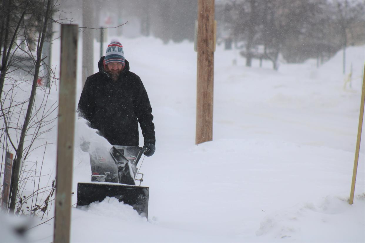
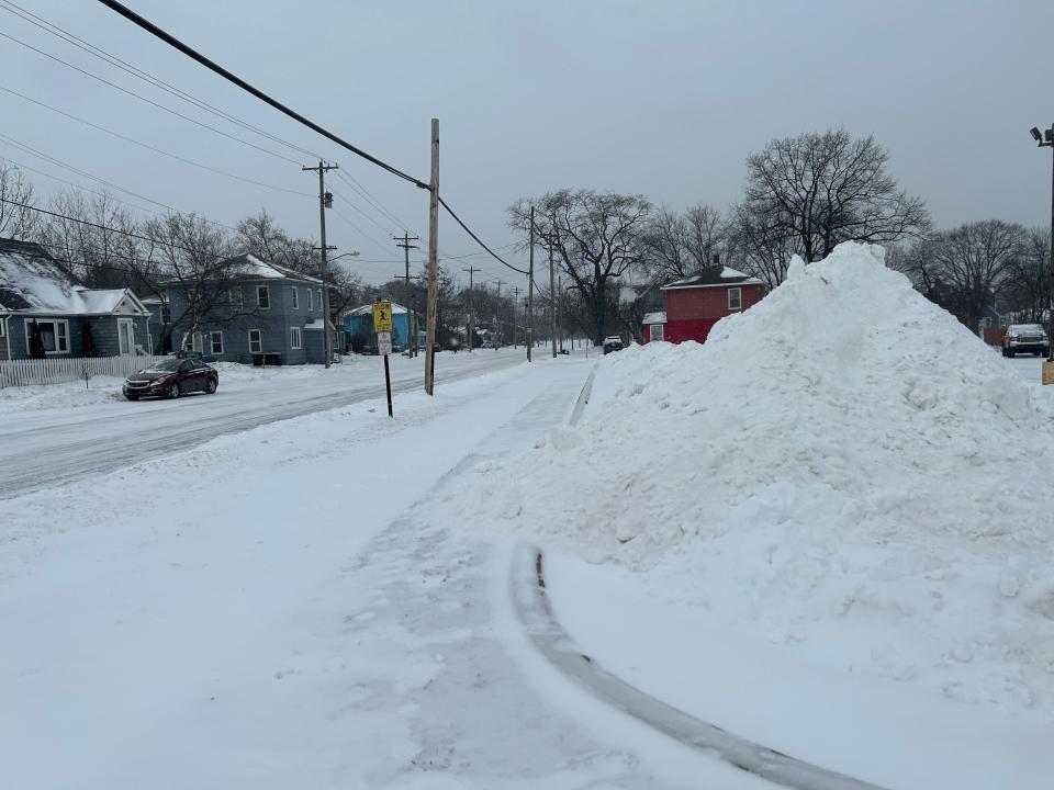
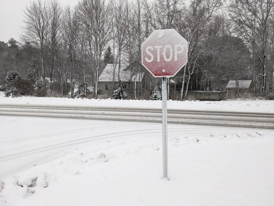
A winter storm rolled its way across the Great Lakes State on Friday, with lake effect snow and icy road conditions continuing into Saturday.
The majority of the state remains under a winter storm warning, according to a National Weather Service map.
Authorities warned drivers to slow down, and only travel if necessary while road conditions remained dangerous.
The Michigan State Police Second District posted on X, formerly Twitter, on Saturday morning that they had already handled 59 preventable crashes since the start of the storm across Wayne, Oakland and Macomb counties.
“Most of them are one car spin outs from people going too fast,” the post stated. “Be careful as the temperature and the wind is going to be life threatening.”
More: Michigan winter storm: Live weather, radar updates

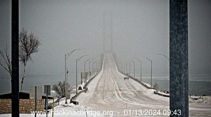
A special condition notice was in effect for the Mackinac Bridge on Saturday morning, with drivers warned about an icy road deck. Live webcam images of the bridge, as of 9:43 a.m., show few vehicles crossing the bridge.
In the Eastern Upper Peninsula, it seems as though the majority of the storm missed the Sault Ste. Marie area. The Sault Ste. Marie Snowmobile Association posted on Facebook on Saturday morning that they were “skunked again.”
“The blizzard never made it to us. Thankful to not have the super high winds, bummer to not have the snow,” the post reads.
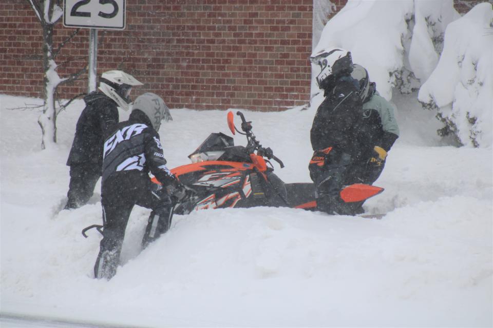
The association warned snowmobilers to stay off trails that haven’t been groomed and said there is still not enough snow in most of their areas for the group to resume grooming.
The Department of Natural Resources also issued a press release on Friday urging snowmobilers and anyone else going out on the ice over the weekend to be careful. The department advised wearing a lifejacket, carrying ice picks and equipment to test ice thickness.
According to the department, one snowmobile fatality has occurred so far this season.
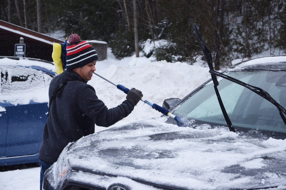
If there was little new snowfall on the eastern side of the U.P., there was plenty on the west side.
According to the Detroit Free Press, the largest total so far in the state was 26 inches in Champion Township, which is located in Marquette County. It was reported by a Cooperative Observer Network volunteer.
Not far from there, 25.3 inches was reported in National Mine by a National Weather Service employee.
More: Winter storm hits Michigan: Tracking snowfall totals
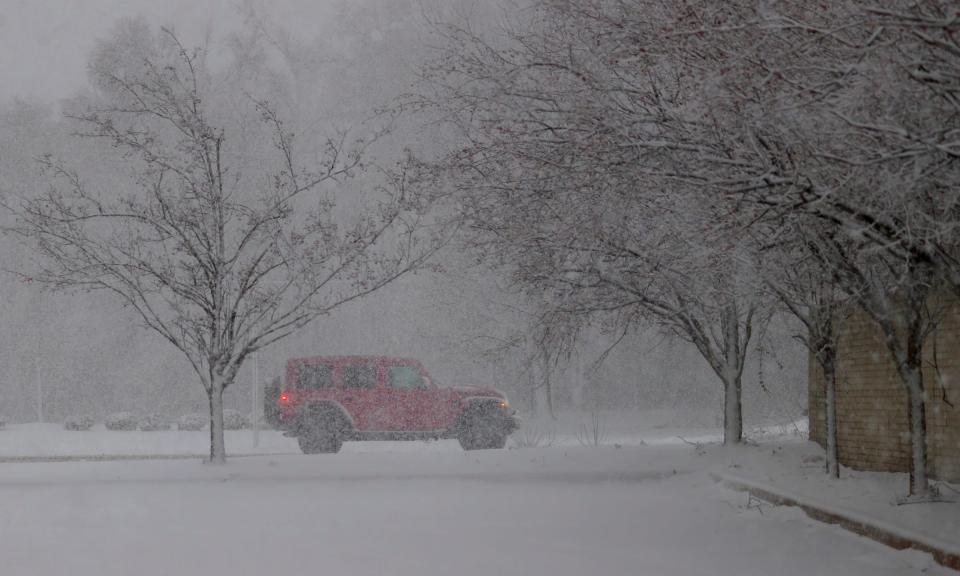
High winds in lakeshore communities were a major factor Friday evening as the storm moved into the area.
CCE Central Dispatch, covering Charlevoix, Cheboygan and Emmet counties, warned of at least two instances of downed or damaged power lines.
In downtown Petoskey, one of the city’s famed gaslight district streetlights was toppled by the high winds.
The Little Traverse Bay Ferry Co. noted in a Friday night Facebook post that the 767-foot Arthur M. Anderson freighter had taken shelter in Little Traverse Bay during the storm. By Saturday morning, the freighter was back out in the open water making its way north towards Lake Superior.
Power outages began on Friday, primarily impacting southeast and southwest Michigan. A message on DTE Energy's website said that 70% of those affected should have power restored by the end of Saturday and 95% by the end of Sunday.
However, the same message said a second phase of weather expected on Saturday may cause additional outages.
"We know how challenging it is to be without power, which is why we've brought in crews from across the country to help speed restoration," the company stated.
According to Gaylord National Weather Service meteorologist Matt Gillen, Northern Michigan saw the worst of its winds Friday night, with winds ranging from 35-50 miles per hour hitting the region.
While the worst of the winds have passed, Gillen said some gusts up to 25 miles per hour could be seen Saturday, moving snow around.
Snowfall varied greatly throughout the area, with the northwest lower peninsula accumulating around 4-8 inches of snowfall. More snow hit the eastern regions, with West Branch receiving as much as 15 inches of snow.
Saturday afternoon and evening is expected to bring in some lake effect snow, Gillen said, with areas like Petoskey, Charlevoix and Traverse City expected to get the bulk. The highest amounts of snow are expected to hit around an additional 4-8 inches, he said.
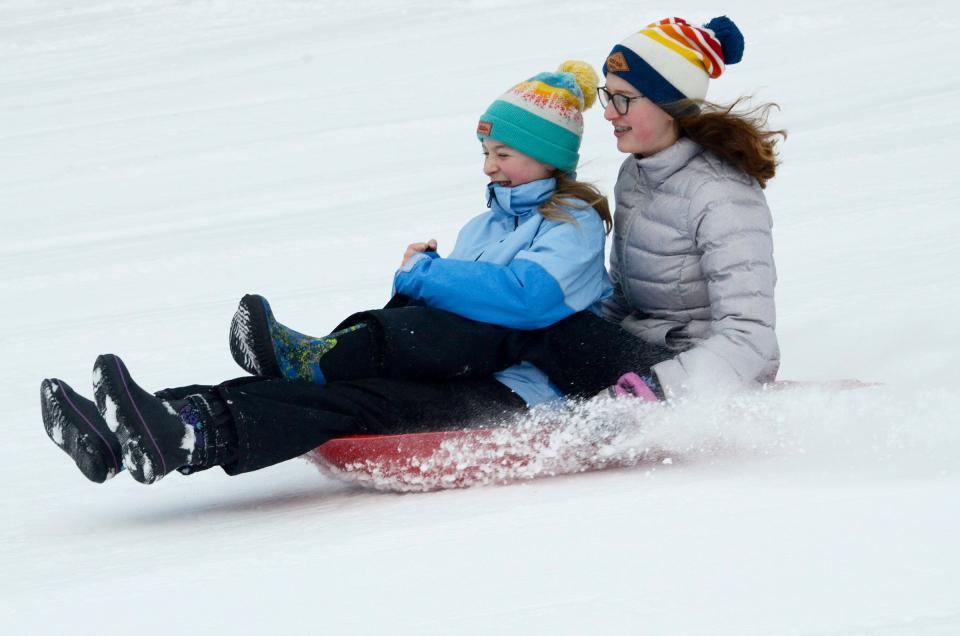
The state is expected to see lower temperatures than people have gotten used to this season, so Gillen warned residents to bundle up and stay warm when clearing off sidewalks and driveways and heading to sledding hills.
More: Metro Detroit slowed as snowstorm begins to pummel Michigan
While plows are working to clear roads, some conditions have turned icy and drivers are advised to use extreme caution if they have to venture out. Some counties were issuing travel advisories on Friday afternoon, including St. Joseph County where all non-essential traffic was asked to stay off the roads.
The snowfall was a boon to Michigan’s ski resorts during the holiday weekend.
Marquette Mountain posted on Facebook that they had received at least 10 inches of snow, although high winds did cause delays on Saturday morning.
The Highlands at Harbor Springs reported 12 inches of fresh snowfall in their Saturday mountain update, allowing them to open more trails and make even more snow.
Caberfae Peaks near Cadillac also received 10 inches of snow, and said there was another 10 inches in the 36-hour forecast.
In other areas of the state, the storm allowed ski areas to make more progress toward opening after a slow start to the winter season.
Cannonsburg Ski Area in Kent County plans to open on Saturday, Jan. 20, if they can build enough of a base with snow-making equipment and the colder temperatures that have moved into the region.
This story will be updated with more winter storm information as it becomes available.
This article originally appeared on USA TODAY: Severe winter storm makes its way across Michigan

