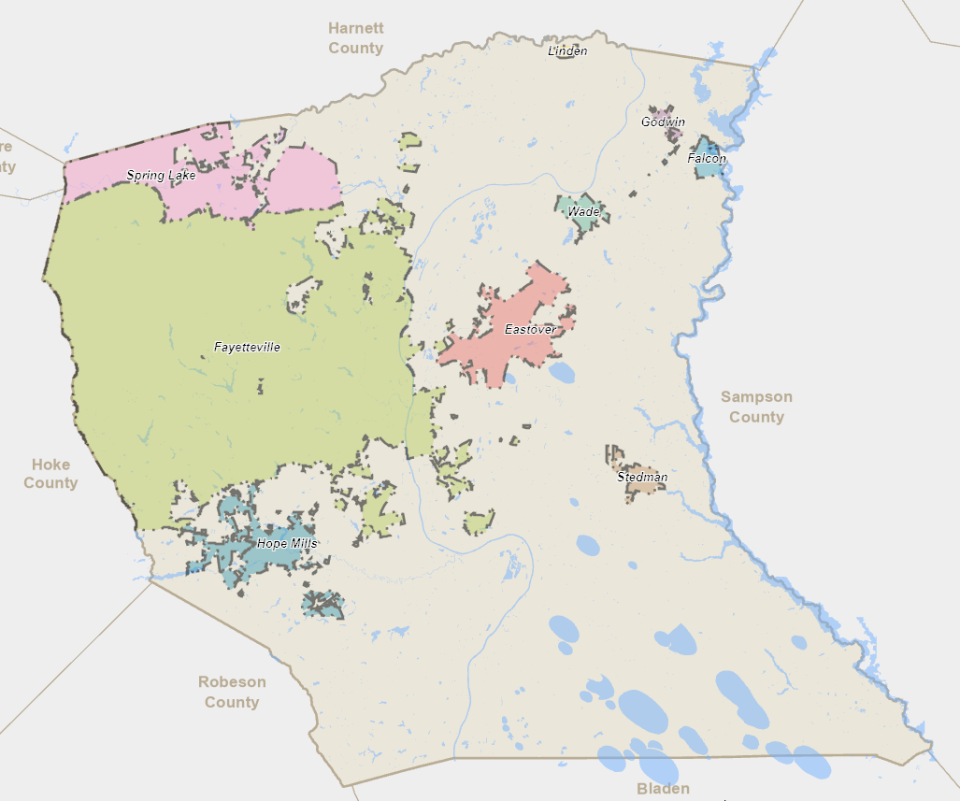
The size and shape of Fayetteville has changed over the years. Here’s why
A city map is a lesson in history, politics and power.
Where the city boundaries grew — and where they didn’t — offers a peek into a community’s vitality, and also a window into who has influence, and who does not.
Here is a look at how boundaries have changed in Fayetteville, Hope Mills and Spring Lake, and some of the reasons why.
Why Fort Liberty is in Fayetteville and Spring Lake city limits
A large portion of Fort Liberty is inside the city limits of Fayetteville and Spring Lake. Most of Spring Lake’s land area is on post.
One side effect of this: Military personnel, and their family members, who live on post but inside the Fayetteville city limits can vote in Fayetteville City Council elections and run for a City Council seat or for mayor. Those who live in the Spring Lake portion of Fort Liberty can participate in Spring Lake’s elections and run for mayor and the Board of Aldermen.
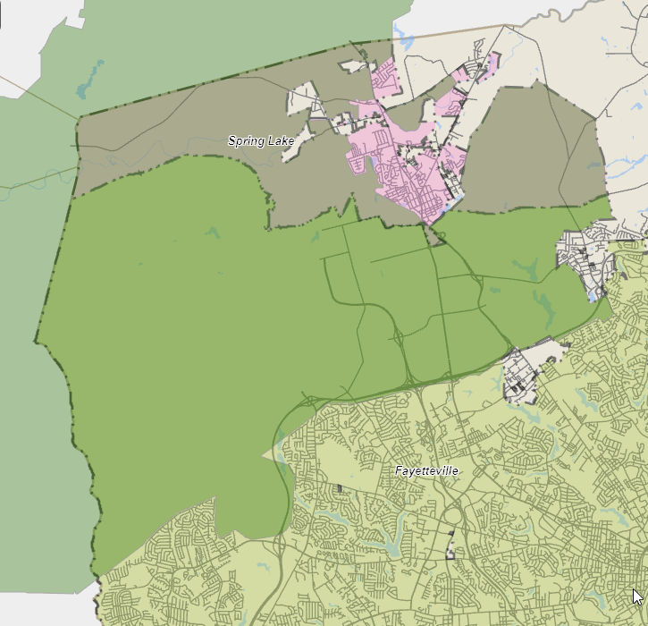
Fort Liberty operates like a small city, with its own schools, its own fire department, its own police department, its own parks-and-recreation facilities and other municipal services. So why would it be inside the city limits?
The North Carolina General Assembly in 2008 extended Spring Lake and Fayetteville’s municipal boundaries onto what was then Fort Bragg and Pope Air Force Base at the request of the military and the municipalities. The advantages:
By being annexed, the military installations got a $10 million extension of water and sewer lines from the city-owned Fayetteville Public Works Commission.
By annexing Fort Liberty, both Fayetteville and Spring Lake instantly increased their populations on Sept. 1, 2008. Population is one of the tools that the state and federal governments use when deciding how much money to allocate to cities and towns in grants and services.
Spring Lake added 5,000 residents, bringing it to more than 13,000 total, The Fayetteville Observer reported at the time. Fayetteville’s population jumped by 30,000, to more than 200,000.
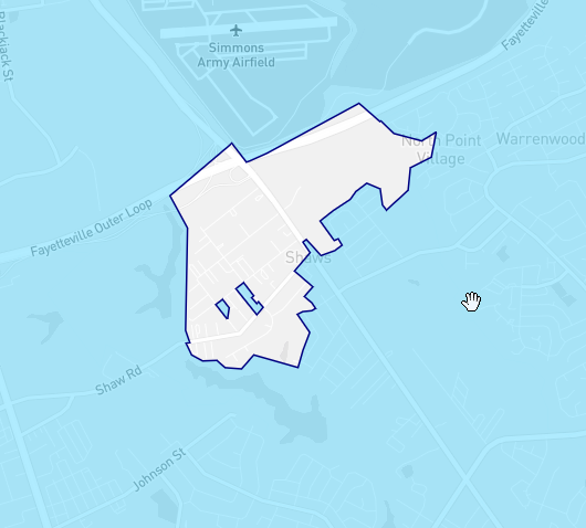
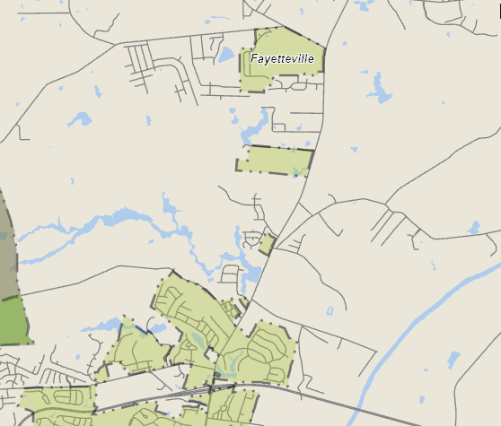
Shaw Heights neighborhood — too poor for Fayetteville to annex?
On Oct. 1, 2005, Fayetteville’s infamous ”Big Bang” annexation took effect and swept in 46,000 people in 27 square miles of western Cumberland County. This was done via an involuntary or forced annexation. State law at the time allowed cities and towns to expand their boundaries across adjacent land without the permission of the property owners.
Western Cumberland County had grown up over the years with neighborhoods, shopping centers and offices to city density, but was outside the city limits. It lacked amenities like sewer service (property owners used septic tanks), city residential trash collection, sidewalks and city recreation facilities. It also lacked the level of regulation that planners argued was necessary to guide development and growth in an urban area.
So Fayetteville brought it all into its boundaries.
But notably, the City Council excluded a poor neighborhood from the Big Bang annexation: Shaw Heights. This is off Murchison Road at the Fort Liberty border.
The community of small houses and mobile homes remains surrounded by Fayetteville in what is known as a “doughnut hole,” but it is not a part of the city. It is solely in Cumberland County’s jurisdiction. Census data from 2020 says Shaw Heights had 781 residents in 2020.
In 2005, then-County Commissioner Tal Baggett accused the Fayetteville City Council of leaving out Shaw Heights because the properties would generate little tax revenue. City Councilman D.J. Haire, whose district surrounded the neighborhood, vehemently disagreed at the time.
Since then, there have been discussions of annexing Shaw Heights to bring its people city services and try to alleviate the poverty there. But new laws that anti-annexation lawmakers enacted in 2011 and 2012 — in part in response to the Big Bang annexation — stopped involuntary annexations in North Carolina. Residents in an area targeted for involuntary annexation now get to vote.
Neary 18 years later, many western Fayetteville homes and businesses that were part of the 2005 Big Bang annexation are still waiting for sewer service.
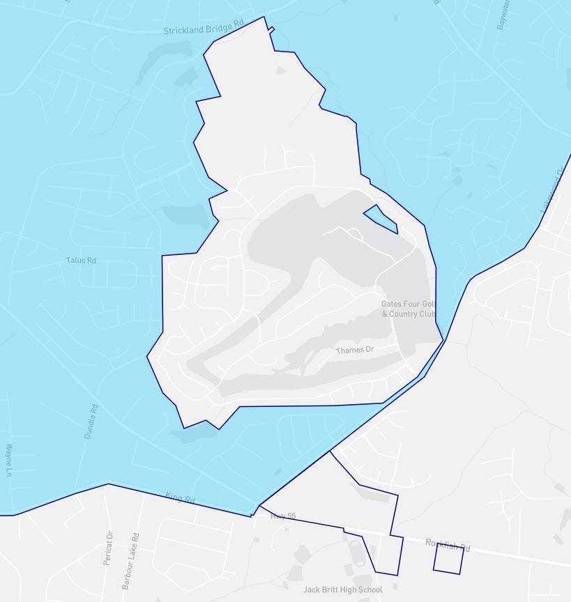
Gates Four neighborhood — too rich and powerful for Fayetteville to keep?
The southwest side of Fayetteville shows another doughnut hole in the city limits: Gates Four. This is an upscale gated country-club neighborhood that the 2020 census said had 1,589 residents.
The Fayetteville City Council originally planned to include Gates Four in the Big Bang annexation, but backed off when residents said they would sue, The Fayetteville Observer reported.
The City Council pursued Gates Four again several years later. The residents sued. In March 2012, Gates Four lost and became part of Fayetteville, subject to Fayetteville city taxes.
But by then, the General Assembly had flipped from being controlled by annexation-friendly Democrats to being controlled by anti-annexation Republicans.
The GOP legislature passed laws to stop cities and towns from forcibly annexing people’s property. Then it took things a step further. Upset residents got the attention of their lawmakers, and the lawmakers erased the Gates Four annexation in Fayetteville, along with other notable annexations in Asheville, Wilmington and Southport, and in five other cities and towns.
The residents were once again living outside the city limit.
700-residence community — joined the city to get sewer and water
Several miles up Ramsey Street from Fayetteville proper, construction is underway for a community that is planned to be the size of a small town.
The Broadwell Land Co. in 2018 said it planned 254-acre development at Ramsey Street and Elliot Bridge Road with 350 single-family homes, 350 multifamily units, 24 acres for commercial use and 58 acres for green and open space.
The development needs water and sewer service. Broadwell asked Fayetteville to annex the land so that the Public Works Commission would run sewer and water there.
Now, the property is what is known as a “satellite annexation.” It is part of the city, and the city has to provide police, fire protection and other city services. But it is physically disconnected from the rest of Fayetteville.
Just as there are many doughnut holes within the city proper, there are numerous satellite annexations.
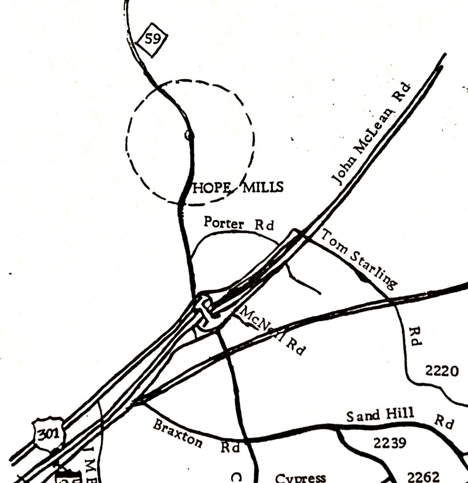
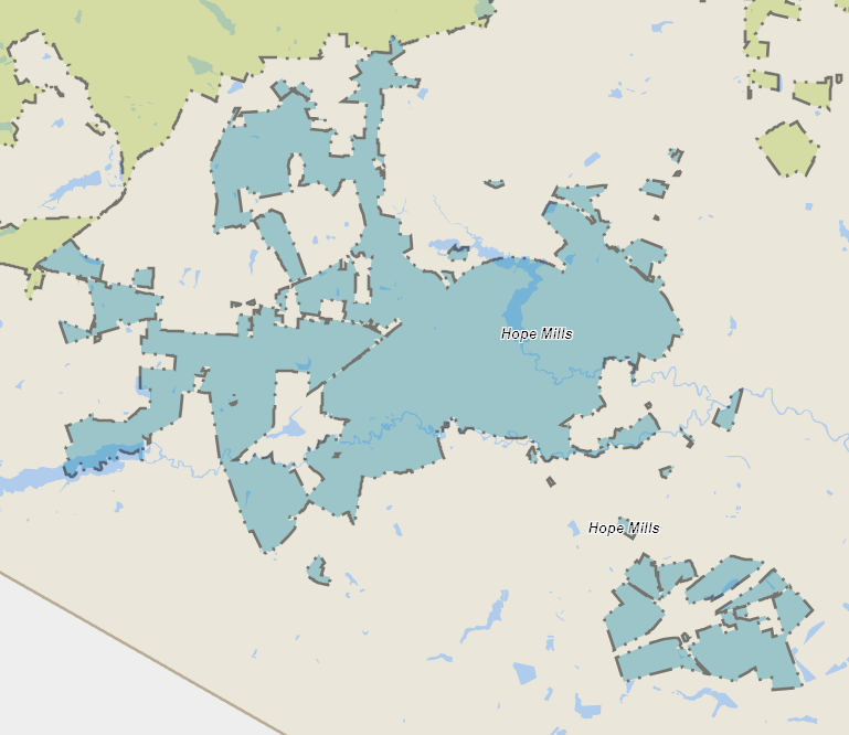
Hope Mills used to be round
When Hope Mills was incorporated in 1891, the legislature decided the town would be circular in shape, with the center of the circle at a company store in the mill village. The circle was 1.5 miles in diameter, with an area of 1.77 square miles.
Some of that original round city limit line is still visible in its boundaries, though the town has sprawled across southwest Cumberland County over the decades. As of 2020, according to the United States Census Bureau, the town was more than 8 square miles.
A look at a map of North Carolina shows some towns across the state were originally circular, while others were square or rectangular before expanding via annexation.
Paul Woolverton can be reached at 910-261-4710 and pwoolverton@gannett.com.
This article originally appeared on The Fayetteville Observer: How Fayetteville, Hope Mills and Spring Lake got their size and shapes

