Slick roads during rush hour lead to dozens of Tri-Cities crashes. What to expect next
A daytime snowstorm sent people skidding across streets and highways in the Tri-Cities on Thursday.
Mist and freezing fog rolled into the area around 9 a.m., followed by snow flurries shortly before noon, according to the National Weather Service monitors at the Tri-Cities Airport in Pasco. The snow had tapered off by about 8:30 p.m.
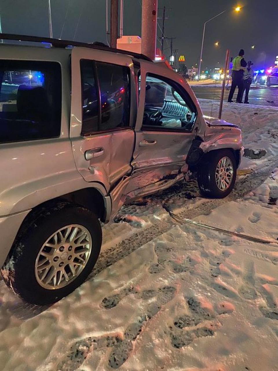
The combination of ice and snow on the roads led to 56 crashes on state highways in and around the Tri-Cities between 10 a.m. Thursday and 5 a.m. Friday, Washington State Patrol Trooper Chris Thorson posted on Twitter.
Anytime snow comes in the middle of the workweek while people are still at work it can become a messy combination, Thorson said.
Fortunately, none of the crashes caused serious injuries, he said.
Snow started falling in the Yakima area earlier in the day and stopped before the end of the work day, he said, noting there were fewer collisions in Yakima and Grandview and also in Walla Walla.
In Walla Walla, the snow didn’t arrive until 10:30 p.m., and turned to rain shortly after midnight.
Thorson said because the snow didn’t arrive until later in the morning in the Tri-Cities, many drivers were caught at work unprepared to drive home in slick conditions.
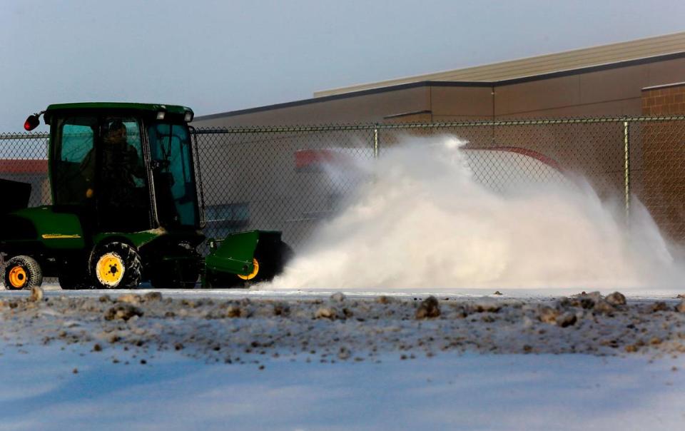
The Department of Energy, its cleanup contractors and the vitrification plant operator let thousands of Hanford workers go home early on Thursday between noon and 12:45 p.m. before the heaviest snow started falling. And the swing and graveyard shits also were canceled, reducing the number of drivers on the roads.
The day, swing and graveyard shifts for non-essential workers were canceled again on Friday.
Several schools and other government agencies followed suit after the snow started falling Thursday.
Motorists were again greeted Thursday morning freezing fog. And the icy conditions led many of the larger school districts to delay opening for two hours. Pasco schools canceled classes entirely. And many city offices and the Mid-Columbia Libraries also delayed opening until 10 a.m.
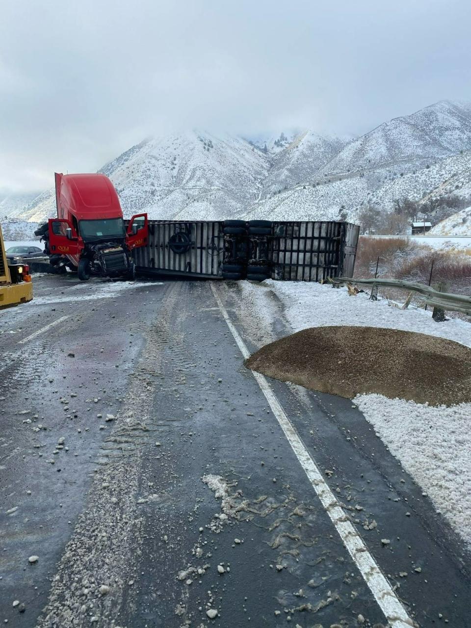
A jackknifed semi truck and trailer was expected to block the eastbound lanes of Interstate 84 near La Grande, Ore., on Friday for a few hours.
And traction tires were required on Interstate 90 to get over Snoqualmie Pass and on Highway 12 over White Pass on Friday.
Forecast
Winter weather may not be finished with the Tri-Cities yet, according to the National Weather Service. Though the area is likely to see more rain than snow.
Areas of freezing fog are expected to stick around for the rest of Friday with the snow level rising to 900 feet. The Tri-Cities are about 400 feet above sea level.
There is a chance of snow before 10 p.m. before it turns to rain, according to the National Weather Service. The snow level will rise from 500 feet to 3,500 feet after midnight.
Temperatures are expected to rise to 37 degrees by 4 a.m. There is a 90% chance of some precipitation, but no accumulation of snow.
The wet weather is expected to extend into Saturday with a 60% chance of rain, mainly before 10 a.m. That is expected to drop to 30% moving into the night. There is a chance of rain or snow overnight.
Finally on Sunday, there is a 30% chance of snow before 1 p.m. and then a chance of rain of snow. The snow level is expected to dip down from 1,500 feet to 700 feet.

