SLO County skies clearing just in time for Christmas. But more rain is on the horizon
After an active week that produced around a foot and a half of rain at Rocky Butte near Hearst Castle and brought rainfall averages to near normal for December for most Central Coast locations, a period of dry weather is forecast through Christmas Day.
A high-pressure ridge will develop over the Central Coast, producing moderate to fresh (13 to 24 mph) Santa Lucia (northeasterly) winds during the night and morning, shifting out of the northwest during the afternoon.
This condition will create primarily clear skies with chilly mornings and mild afternoons through Christmas. However, areas of low clouds and dense fog are expected to develop during the late night and morning in the inland and coastal valleys.
High temperatures will reach the low to mid-60s throughout the region, with overnight lows dropping to the 30s in the inland valleys (Paso Robles) and 40s in the coastal valleys (San Luis Obispo) and along the beaches.
Tuesday will be a transitional day with gentle variable winds and increasing coastal stratus clouds with pockets of mist and fog along the coastline.
A low-pressure system will move northward along the Oregon and Washington coastline. The associated cold front will produce moderate to fresh (13 to 24 mph) southerly winds and increasing clouds on Wednesday, with rain and fresh to strong (19 to 31 mph) southerly winds reaching San Luis Obispo and northern Santa Barbara counties on Thursday into Friday. Rainfall amounts should remain below one inch, with snow levels above 6,500 feet.
The unsettled weather pattern is expected to continue through the end of the year.
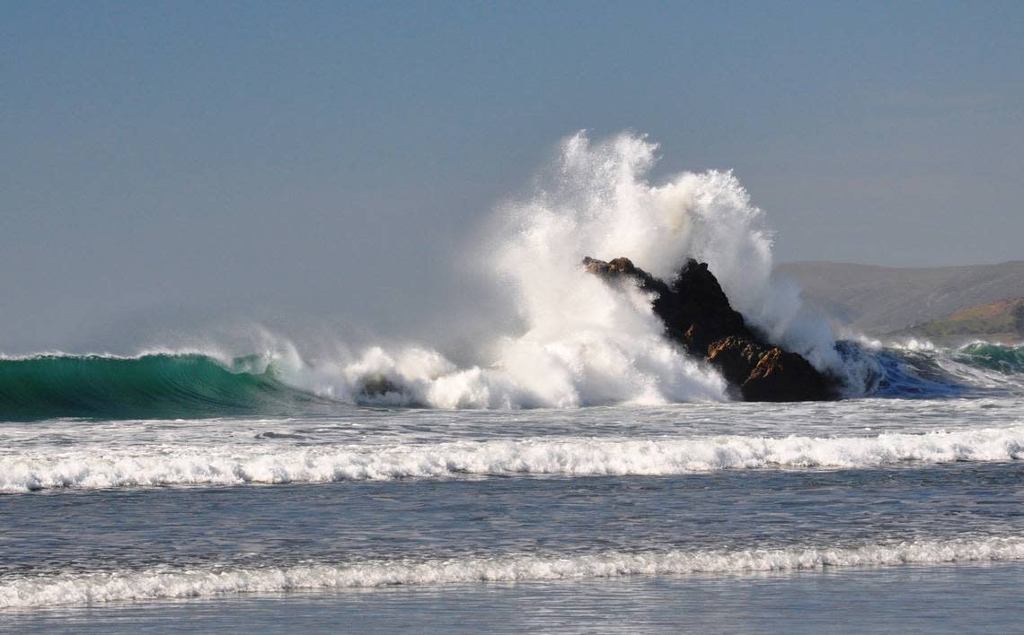
Surf report
A 6- to 8-foot northwesterly (290-degree, deep-water) swell (with an 8- to 16-second period) is forecast along our coastline through Sunday.
An intense storm in the Gulf of Alaska will produce a 6- to 8-foot northwesterly (290-degree, deep-water) swell (with an 18- to 20-second period) along our coastline on Monday. This northwesterly swell will remain at this height but with a 14- to 17-second period) on Tuesday through Wednesday.
An 11- to 13-foot west-northwesterly (280-degree, deep-water) swell (with a 7- to 15- second) is expected on Thursday into Friday.
Seawater temperatures will range between 59 and 62 degrees through Saturday.
This week’s temperatures
LOWS AND HIGHS, PASO ROBLES
SUN | MON | TUE | WED | THU | FRI | SAT | SUN |
36, 60 | 35, 62 | 36, 64 | 40, 63 | 45, 58 | 38, 56 | 35, 60 | 33, 61 |
LOWS AND HIGHS, SAN LUIS OBISPO AND COASTAL VALLEYS
SUN | MON | TUE | WED | THU | FRI | SAT | SUN |
46, 63 | 45, 65 | 47, 66 | 51, 64 | 53, 59 | 49, 58 | 43, 61 | 42, 62 |
John Lindsey is a retired PG&E marine meteorologist. Email him at JohnLindseyLosOsos@gmail.com or follow him on Twitter @PGE_John.

