SLO County spot could see 10 inches of rain in storm, NWS says. How much has fallen so far?

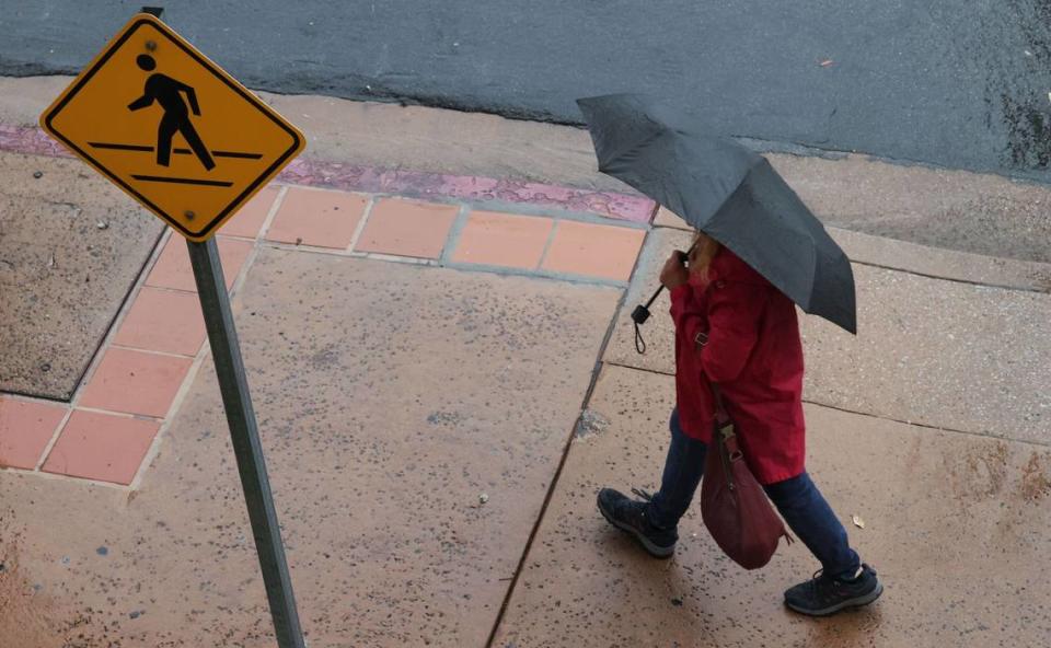
Three days of stormy weather have dropped more than 2 inches of rain on much of San Luis Obispo County, including nearly 9 inches at the area’s wettest spot.
In the 72 hours ending at 8:45 a.m. Monday, most locations across the county have received anywhere from a half inch of rain to upwards of 3 inches, according to the National Weather Service.
Rocky Butte, a location in the mountains northeast of Cambria, led the way with 8.78 inches of rain.
Here’s a look at all the totals from across the county, according to the NWS:
Rocky Butte: 8.78 inches
Atascadero west foothills: 3.08 inches
Arroyo Grande: 2.92 inches
San Luis Obispo (Cal Poly area): 2.80 inches
Davis Peak (near Montaña de Oro): 2.83 inches
Las Tablas: 2.68 inches
San Luis Obispo (Broad Street and Industrial Way): 2.30 inches
Cambria (Santa Rosa at Main): 2.41 inches
Nacimiento River at Monterey County line: 2.76 inches
Los Osos: 1.86 inches
San Luis Obispo County Regional Airport: 1.72 inches
Pismo Beach: 2.09 inches
Salinas Dam: 1.78 inches
Lake Lopez: 2.27 inches
Santa Margarita: 1.61 inches
Paso Robles Airport: 2.23 inches
Templeton: 1.58 inches
Atascadero: 1.30 inches
Lake Lopez Recreational Area: 1.85 inches
Bald Mountain: 1.42 inches
Oceano: 1.24 inches
Shandon: 1.32 inches
Nipomo: 0.93 inches
Branch Mountain: 1.32 inches
Shell Peak: 1.03 inches
La Panza: 0.71 inches
Carrizo Plain: 0.78 inches
What’s ahead in SLO County’s forecast?
The NWS forecast predicted scattered showers to continue through the course of Monday with some possible isolated thunderstorms.
Rainfall will decrease quickly in the evening through Tuesday, the agency said, except for periods of showers over the north slopes.
The total rainfall from this system of storms was estimated to average between 1 to 2 inches for the majority of the county and 2 to 5 inches in the mountains and foothills.
Rocky Butte was the exception, the agency said, and could likely get close to 10 inches of rain.
There was also a 10-20% chance of thunderstorms over the coastal waters near Piedras Blancas Point in San Simeon to Point Sal in Guadalupe Monday, the agency said.
These storms could cause locally strong and erratic wind gusts, small hail, heavy downpours, rough seas and dangerous cloud-to- ocean lightning. There was also a chance of isolated waterspouts, the agency said.
