Smoke west of Redding from control burn near Whiskeytown Lake
A control burn near Whiskeytown Lake on Wednesday put up smoke that could be seen near the Redding area.
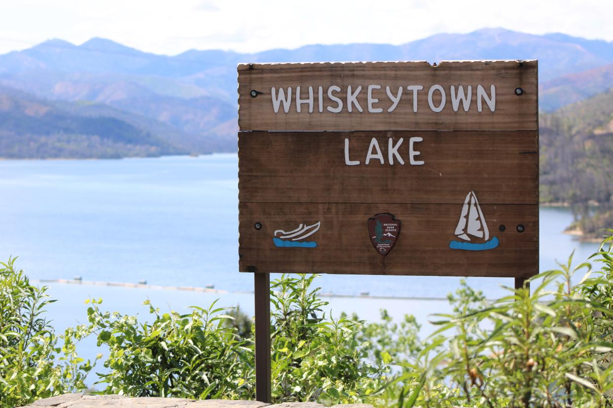
The fire, however, was intentionally set to reduce hazardous build-up of undergrowth in the Whiskeytown National Recreation Area and was not a wildfire, officials said.
National Park Service officials said they are burning about 126 acres, which is part of the 757-acre Buck Prescribed Fire Project.
The managed-fire project was in the eastern part of the recreation area, near the U.S. Bureau of Land Management's Swasey Recreation Area and other private property in the area west of Redding.
More prescribed fire was expected to be completed in the area over the next two to four years, officials said.
Damon Arthur is the Record Searchlight’s resources and environment reporter. He is part of a team of journalists who investigate wrongdoing and find the unheard voices to tell the stories of the North State. He welcomes story tips at 530-338-8834 by email at damon.arthur@redding.com and on Twitter at @damonarthur_RS. Help local journalism thrive by subscribing today!
This article originally appeared on Redding Record Searchlight: Smoke west of Redding from control burn near Whiskeytown Lake

