Snow accumulation NJ: Central Jersey to Shore snow totals
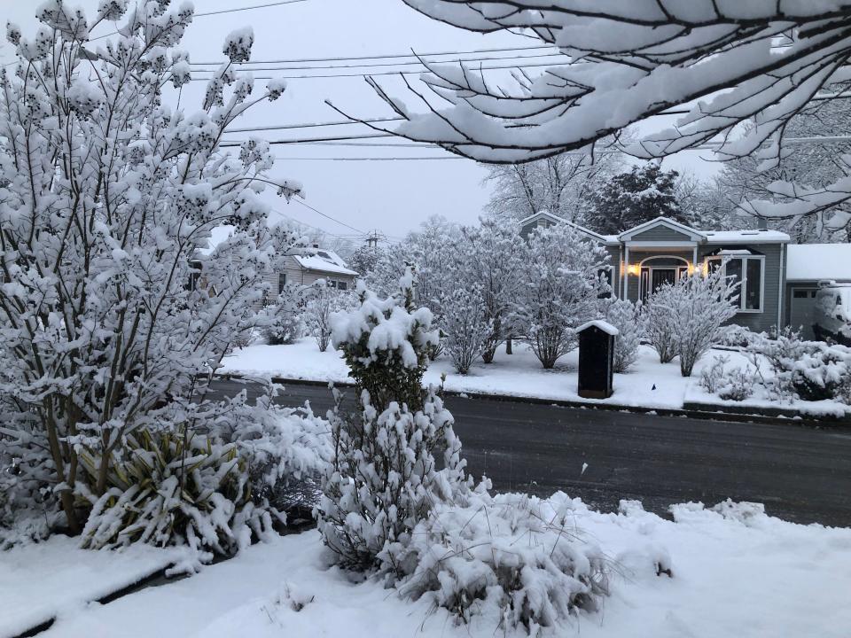
An intense and narrow band of snow that formed in the Pittsburgh area and cut straight across Central New Jersey dropped an "unusual" amount of dry, powdery snow overnight, leaving up to 13 inches in parts of the state, the National Weather Service said.
The band of snow ran about 10 miles from Route 78 to the south, hitting western Hunterdon County with up to 13 inches with the edge of the narrow band reaching the northern part of the Shore with 10 inches reported in Keansburg, according to the weather service.
"That area got hammered," Robert Deal, a meteorologist based in Mount Holly, said. "It pretty much was a quick hitter coming through the overnight hours."

Highway weather cams from around the state showed those roads were cleared by 9 a.m.
The light snow may have made the task easier.
Deal said the snow fell at a rate of 4 to 5 inches per hour for a period of time, a high amount.
"The rates we got were unusual and uncommon," he said. "The snowflakes were quite large."
Ordinarily, snow in the Mid-Atlantic region has a ratio of 10 to 1, meaning 10 inches of melted snow equals an inch of water, although that ratio can vary greatly from storm-to-storm and even within individual storms. The storm early Saturday came in at 16 to 18 inches to one, Deal said.
What that meant was a windfall of powder - the magical snow cherished by snowboarders and skiers.
Few people were up to witness it, though. The heavy snowfall hit New Jersey in the early hours and left by about 5 a.m., he said.
Intense and narrow bands of snow can be tricky to forecast as far as what location they strike, Deal said.
Here's the snowfall totals from Saturday morning:
Atlantic
Buena Vista - 3.3 inches (7:22 a.m.)
Galloway - 2.8 (7:00 a.m.)
Somers Point - 2.2 (5:15 a.m.)
Margate City - 2.0 (7:00 a.m.)
Atlantic City Int’l - 1.4 (7:00 a.m.)
Brigantine - 1.0 (7:00 a.m.)
Bergen
Westwood - 3.0 inches (10:20 a.m.)
East Rutherford - 2.6 (9:30 a.m.)
Fair Lawn - 2.5 (10:00 a.m.)
Bergenfield - 2.1 (0905 a.m.)
River Vale - 2.0 (8:40 a.m.)
Waldwick - 2.0 (10:20 a.m.)
Burlington
Mount Laurel - 4.5 inches (6:45 a.m.)
Delran - 4.0 (6:29 a.m.)
Medford Lakes - 4.0 (8:00 a.m.)
Mount Laurel - 3.8 (7:00 a.m.)
Mount Holly - 3.2 (4:40 a.m.)
Wrightstown - 3.0 (7:00 a.m.)
Camden
Cherry Hill - 4.3 inches (5:00 a.m.)
Maple Shade - 3.5 (7:00 a.m.)
Mount Ephraim - 3.1 (6:11 a.m.)
Berlin - 3.0 (7:30 a.m.)
Cape May
Woodbine - 3.0 inches (7:00 a.m.)
Ocean City - 1.6 (7:00 a.m.)
Lower Twp. - 1.0 (7:00 a.m.)
Avalon - 0.5 (8:15 a.m.)
Cumberland
Deerfield Twp. - 3.1 inches (7:30 a.m.)
Essex
Millburn - 4.0 inches (7:45 a.m.)
Newark - 3.7 (7:00 a.m.)
West Orange - 3.0 (9:25 a.m.)
West Caldwell - 2.0 (9:00 a.m.)
Gloucester
Pitman - 3.5 inches (6:48 a.m.)
Williamstown - 3.0 (7:02 a.m.)
Mantua - 2.5 (6:56 a.m.)
West Deptford - 2.2 (5:21 a.m.)
Mullica Hill - 2.0 (4:30 a.m.)
Hudson
Hoboken - 4.3 inches (10:00 a.m.)
Harrison - 4.0 (9:00 a.m.)
Kearny - 3.0 (8:30 a.m.)
Hoboken - 2.6 (10:00 a.m.)
Hunterdon
Frenchtown - 13.0 inches (7:00 a.m.)
Readington Twp. - 12.0 (5:16 a.m.)
Flemington - 11.0 (6:30 a.m.)
Pittstown - 10.5 (7:30 a.m.)
Lebanon - 10.0 (7:00 a.m.)
Whitehouse Station -10.0 (7:00 a.m.)
Raritan Twp - 8.0 (2:30 a.m.)
Lebanon - 6.7 (7:00 a.m.)
Clinton Twp. - 4.0 (8:00 a.m.)
Mercer
Hopewell - 8.5 inches (7:00 a.m.)
North Princeton - 6.0 (0252 a.m.)
Woodsville - 5.5 (7:10 a.m.)
Trenton Mercer Airport - 3.9 (7:00 a.m.)
Hamilton Twp. - 3.3 (7:00 a.m.)
Prospect Park - 3.2 (0736 a.m.)
Woodsville - 2.0 (0115 a.m.)
Middlesex
North Brunswick - 11.3 in (0725 a.m.)
New Brunswick - 10.8 in (0830 a.m.)
Edison - 10.1 in (0733 a.m.)
Old Bridge - 9.0 in (0534 a.m.)
South Amboy - 9.0 in (0656 a.m.)
Carteret - 8.8 in (0610 a.m.)
East Brunswick - 8.8 in (0700 a.m.)
Woodbridge Twp. - 8.2 in (0600 a.m.)
Sayreville - 6.0 in (0215 a.m.)
South Plainfield - 5.0 in (0245 a.m.)
Monmouth
Keansburg - 10.0 in (0629 a.m.)
Holmdel - 9.0 in (0730 a.m.)
Matawan - 7.4 in (0609 a.m.)
Freehold - 5.5 in (0651 a.m.)
Long Branch - 5.0 in (0630 a.m.)
Middletown - 5.0 in ((0730 a.m.)
Freehold Twp - 3.5 in (0800 a.m.)
Howell - 3.0 in (0734 a.m.)
Upper Freehold Twp. - 3.0 in (0830 a.m.)
Manasquan - 2.2 in (0700 a.m.)
Neptune City - 2.1 in (0700 a.m.)
Morris
Millington - 5.0 in (0742 a.m.)
Randolph - 3.5 in (0800 a.m.)
Schooley's Mountain - 3.0 in (0700 a.m.)
Denville - 2.5 in (0700 a.m.)
Kinnelon - 2.5 in (0845 a.m.)
Madison - 2.5 in (0700 a.m.)
Mendham - 2.5 in (0700 a.m.)
Rockaway - 2.5 in (0800 a.m.)
Montville - 2.3 in (0830 a.m.)
Boonton - 2.0 in (0730 a.m.)
Ocean
Whiting 3.4 in (0822 a.m.)
Tuckerton 3.0 in (0730 a.m.)
Stafford Twp. 2.8 in (0700 a.m.)
Berkeley Twp. 2.3 in (0700 a.m.)
Brick 2.3 in (0645 a.m.)
Beachwood 2.1 in (0730 a.m.)
Barnegat 2.0 in ((0758 a.m.)
Jackson 2.0 in - (0700 a.m.)
Lakewood 2.0 in (0830 a.m.)
Manchester 1.5 in (0630 a.m.)
Toms River 1.5 in (0700 a.m.)
Point Pleasant Beach 1.0 in (0700 a.m.)
Passaic
Hawthorne 3.0 in (0800 a.m.)
Wayne 2.5 in (0930 a.m.)
Salem
Pittsgrove - 3.0 in (0700 a.m.)
Woodstown - 1.3 in (0700 a.m.)
Somerset
Hillsborough - 11.0 in (0647 a.m.)
Manville - 11.0 in (0600 a.m.)
Manville - 10.1 in (0613 a.m.)
Franklin Twp. - 10.0 in 0805 a.m.)
Somerville - 9.9 in (0810 a.m.)
Bridgewater - 9.5 in (0645 a.m.)
Green Brook - 9.0 in (0800 a.m.)
Kendall Park - 7.3 in 0320 a.m.)
North Plainfield - 7.1 in 0513 a.m.)
Belle Mead - 6.0 in 0816 a.m.)
Warren - 6.0 in 0758 a.m.)
Bernards Twp. - 4.0 in 0730 a.m.)
Sussex
Sparta - 2.5 in (0908 a.m.)
Newton - 2.1 in (0700 a.m.)
Wantage Twp. - 2.1 in (0830 a.m.)
Vernon -1.1 in (0730 a.m.)
Union
Clark - 7.7 in (0838 a.m.)
Plainfield - 7.3 in (0810 a.m.)
Elizabeth - 5.5 in (0810 a.m.)
Warren
Greenwich Twp. - 6.0 in (0700 a.m.)
Phillipsburg - 3.7 in (0700 a.m.)
Washington Twp. - 3.3 in (0700 a.m.)
Blairstown - 2.5 in (0739 a.m.)
Hackettstown - 2.5 in (0655 a.m.)
Ken Serrano covers breaking news, crime and investigations. Reach him at 732-643-4029 or at kserrano@gannettnj.com.
This article originally appeared on Asbury Park Press: Snow totals NJ today: Storm drops more than a foot in some areas

