Snow arrives Monday night in Delaware. What to expect for Tuesday's commute
As frigid temperatures take over the First State Monday night, watch out for wintry precipitation and slippery roads.
The National Weather Service reports “dangerously cold temperatures” across the United States on Monday with colder wind chills Tuesday ahead of another Artic blast later in the week.
Here's what to expect in Delaware.
Prepare for a frigid start to the work week
A winter weather advisory has been issued for New Castle and Kent counties with up to 2 to 3 inches of snow and a light glaze of ice accumulation, with slippery road conditions impacting the Tuesday morning commute.
Snow is expected to arrive Monday evening into Monday night, and is likely to switch to mixed precipitation Tuesday morning.

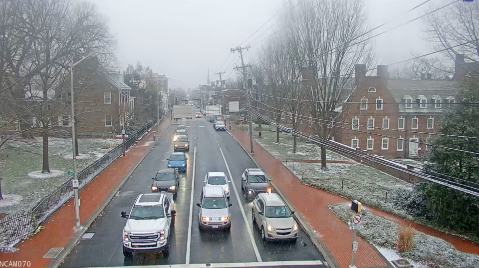
In New Castle County, the winter weather advisory is in effect from 7 p.m. on Monday to 1 p.m. on Tuesday. In Kent County the advisory is from 4 p.m. on Monday to 4 a.m. on Tuesday.
The National Weather Service advises drivers to slow down and use caution while traveling. If you need the latest road conditions in your area, call 511.
While not included in the winter weather advisories, a hazardous weather outlook is in effect for Sussex County.

There is a low probability of widespread hazardous weather in the county on Monday, but minor coastal flooding is possible on Tuesday, according to the weather service.
Looking ahead, gale-force winds and/or very rough seas are forecast for the Delaware Bay on Saturday and for Atlantic coastal waters adjacent to the mouth of the Delaware Bay on Saturday and Sunday.
Delaware weather forecast

If you must work outdoors or plan to go anywhere this week, don’t skip the layers.
A 50% chance of snow is forecast on Monday, mainly after 2 p.m. Skies will be cloudy with a high near 30 degrees and winds around 5 mph. In the evening, the low will be 26 with winds around 5 mph and an 80% chance of precipitation.
On Tuesday, snow is likely before 1 p.m., with a slight chance of snow and rain forecast between 1 p.m. and 3 p.m. and snow remaining afterward. Skies will be cloudy and the high will be 34 degrees. Winds between 5 mph and 15 mph will be present in the afternoon with a 70% chance of precipitation.
By nightfall, it will be partly cloudy with a low around 16 degrees. Winds around 10 mph will be present.
Wednesday is forecast to be sunny with a high near 26 degrees and winds between 10 mph and 15 mph. In the evening, it will be partly cloudy with a low around 20 degrees.
Through the rest of the week, the weather will remain chilly and blustery as a chance of snow is expected again in the region on Friday.
Got a tip or a story idea? Contact Krys'tal Griffin at kgriffin@delawareonline.com.
Are you prepared for winter driving?: Winter emergency car prep: What to keep in your car, check before driving this winter
Mental health check: Is winter making you sad? What to know about seasonal depression symptoms, treatment, more
Full moon soon: Details on the next full moon, the wolf moon, and what to look forward to in February
This article originally appeared on Delaware News Journal: Snowfall, hazardous road conditions in Delaware beginning Monday night

