Snow falls in the High Desert, blizzard expected as cold weather grips Southern California
San Bernardino County Fire personnel have up staffed additional firefighters, hand crews and heavy equipment for the incoming rain and snowstorm expected to pound the local mountain over the weekend.
The second storm is expected to bring rain to the High Desert on Saturday, with a Blizzard Warning for the SBC Mountains to 4 p.m. on Saturday.
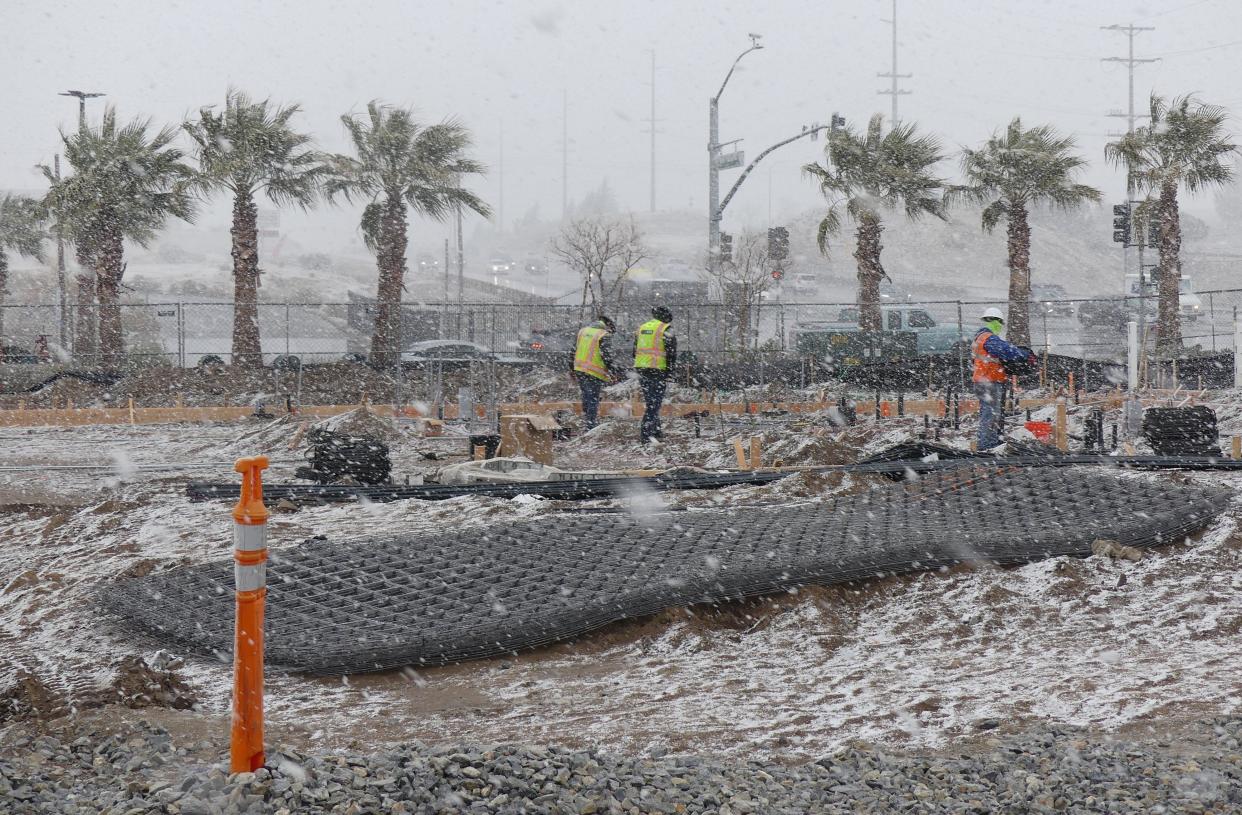
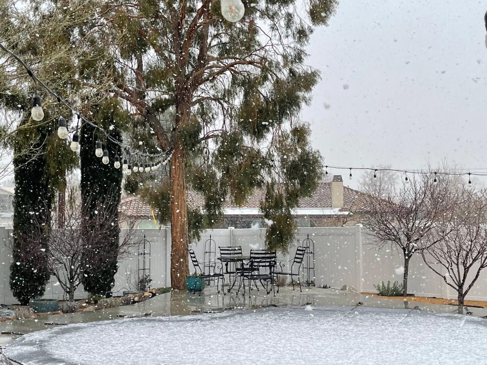
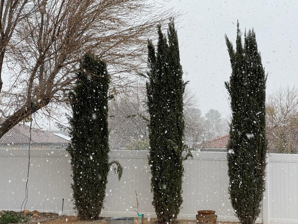
Snow began falling in the High Desert on Thursday afternoon, worsening traffic conditions in the Cajon Pass, with many commuters reporting sporadic weather conditions.
The blizzard is expected to bring fog and heavy blowing snow that will lower visibility in the mountains to near zero.
“Travel will be VERY DIFFICULT TO IMPOSSIBLE due to the extremely heavy snow and extremely high winds expected,” the weather agency reported.
The Blizzard Warning from Friday morning to Saturday afternoon is the first issued by the local NWS office for the SBC Mountains.
“Given the depth of cold air that has infiltrated the West, accumulating snow will also be expected over some of the lower foothills and interior valley areas near the Pacific Coast adjacent to the terrain where snowfall is less common,” according to the NWS.
Caltrans officials are telling drivers to bring chains if they have to travel to the mountains, and for everyone else to stay off the roadway during inclement weather.
The San Bernardino County Sheriff’s Department issued a warning to commuters: “PLEASE DO NOT ATTEMPT TO TRAVEL IN THE MOUNTAIN AREAS”
“Blizzard conditions are extremely dangerous. This is not a normal storm,” sheriff’s officials said. “First responders will need access to the roads and highways to continue to protect our residents.”
Strong winds are expected in the mountains and desert foothills on Friday, with gusts to 60 mph. A high wind warning has been issued for the High Desert.
High temperatures through Sunday across the Victor Valley are expected in the 40s.
Sunday should be partly cloudy, with rain expected next week.
Schools
The Snowline Joint Unified School District said there was no school on Thursday. On Friday, they added that schools would be closed due to inclement weather. Most of the storm energy will pass through our area today. Please stay safe as you travel the roadways.
"As of 4 am, Wrightwood Elementary has 6ish inches of snow, and Phelan Elementary has a trace to 1/2 inch of snow," school officials said. "For all eastbound traffic, chain control is set up at Beekly and HWY 138. We hope everyone has a great weekend, and we will evaluate our operations throughout the weekend to ensure a safe return to school on Monday!"
Hesperia Unified School District Superintendent Dave Olney announced that if road conditions become a significant concern and schools close that families and students will receive a phone message notification from the district as early as possible. But on Friday, it was announced that schools would be open.
The Victor Elementary School District said its operational team would hit the streets of Victorville before dawn on Friday to monitor weather and road conditions. If the conditions are deemed unsafe, the VESD will call a snow day and announce school closures by 5 a.m. All was clear, and classes were held.

Thursday’s weather
Several commuters told the Daily Press that Thursday’s journey through the Cajon Pass was less than ideal.
“I made three runs up and down the pass today, and the weather was different each time,” said Ralph Martinez, 47, a medical equipment delivery driver. “First it was foggy with rain, then it snowed, then it was partially cloudy and windy,”
Oak Hills resident Cheryl Whitson told the Daily Press that her “run down the Cajon Pass” included near whiteout conditions.
“It was scary,” Whitson said. “I’ve driven in the fog, but never when snow was coming at me.”
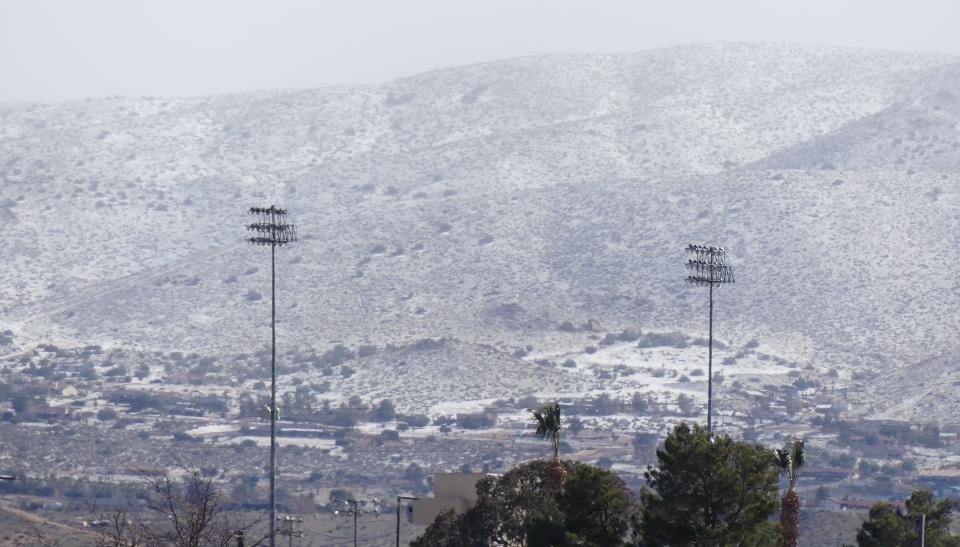
Snow fell across the Victor Valley, in places like Victorville, Lucerne Valley, Hesperia and Apple Valley.
Jose Gonzalez of Hesperia shot video of snow falling at the Fort Irwin Nation National Training Center north of Barstow.
By late Thursday, clearing skies allowed the sun to melt most of the snow away before it began snowing again around 5:30 p.m.
Thursday’s weather was part of the arctic storm from the north, which started with a drop in temperatures and damaging winds on Tuesday and Wednesday.
Visit Caltrans District 8's Facebook and Twitter accounts or the agency's website for additional updated information.
Motorists can plan commutes and view live traffic conditions and planned lane closures by using Caltrans' QuickMap.
For those with sensory disabilities and those needing information in a language other than English, contact Public Affairs at 909-383-4631 or TTY 711.
Other parts of California
Thursday morning, the Palm Springs Aerial Tramway announced on its Instagram story that it was snowing at the Valley Station, which has a Palm Springs address — a phenomenon that hasn't occured in several years.
Several communities in Los Angeles and Ventura counties, which sit just north of the city of Los Angeles, were under winter storm warnings . So far, those communities straddling Interstate 5, which connects Southern California to the central valley region, have seen about 2 to 4 inches of snowfall in the last 24 hours, according to the weather service. The winter storm warning there was expected to transition into a blizzard warning.
Big Bear, which received 27 inches as of Thursday morning, is expected to receive an additional foot of snow through Friday morning and 1-2 additional feet through Saturday. Lake Arrowhead received 7.5 inches.
All that moisture in the air also creates an increased risk of flash flooding through Saturday, forecasters said. Some coastal areas could see waves as high as 10 to 14 feet through Thursday, forecasters said.
In Sacramento, the state capital, the weather service said it had received reports of something that might be either hail or graupel — soft, wet snowflakes encased in supercooled water droplets.
Electrical grids took a beating as ice encrusted utility lines in the north, and gusty winds knocked down lines or fouled them with tree branches and other debris in California.
Elizabeth Schenk of the National Weather Service said there were reported wind gusts of 56 mph at the Jacqueline Cochran Regional Airport in Thermal and 101 mph at Burns Canyon in the San Bernardino County mountains.
Also, a winter storm warning remains in effect through 3 p.m. on Saturday for the Riverside County mountains, with expected snowfall of 8 to 16 inches within 6,000 feet. Idyllwild has received an inch of snow since Wednesday.
"On those higher peaks, such as Mount San Jacinto, we could be seeing about one to two feet of snow," Schenk said.
The Associated Press and the USA TODAY Network-California contributed to this report.
Daily Press reporter Rene Ray De La Cruz may be reached at 760-951-6227 or RDeLaCruz@VVDailyPress.com. Follow him on Twitter @DP_ReneDeLaCruz
This article originally appeared on Victorville Daily Press: Snow falls in the High Desert, blizzard expected Friday

